Property Record
119 Pine St, Modesto, CA 95351


Property Detail
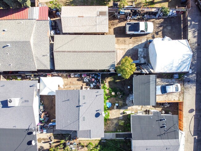
119 Pine St
Modesto, CA
CITY OF MODESTO BLK 411 LOTS 4 & 5
101-07-17
Stanislaus
Miscresidentialimprovement
California
B and X Area of moderate flood hazard, usually the area between the limits of the 100-year and 500-year floods.
4,5
2025
0.16 AC
2025
Southwest Modesto
001700
Stockton/Modesto
1,872 SF
NEARBY LISTINGS FOR SALE OR LEASE
DEMOGRAPHICS near 119 Pine St
1 mile
3 mile
5 mile
2024 Total Population
16,009
121,179
283,227
2029 Population
16,048
121,243
283,583
Pop Growth 2024-2029
+ 0.24%
+ 0.05%
+ 0.13%
Average Age
35
36
37
2024 Total Households
4,635
37,711
91,243
HH Growth 2024-2029
+ 0.22%
+ 0.05%
+ 0.12%
Median Household Inc
$55,437
$62,958
$70,047
Avg Household Size
3.30
3.10
3.00
2024 Avg HH Vehicles
2.00
2.00
2.00
Median Home Value
$276,983
$342,646
$376,093
Median Year Built
1961
1966
1976
Nearby Places
Map Layers
Map Styles
 Street
 Aerial
Transit
 Traffic
 Biking
Places
Listings with unknown addresses are not visible on the map
- Restaurants
- Banks
- Shops
- Fitness
- Groceries
PUBLIC TRANSPORTATION
AIRPORT
Stockton Metro
Drive
Walk
Distance
Stockton Metro
34 min
24.8 mi
Freight Ports
Port of Stockton
Drive
Walk
Distance
Port of Stockton
42 min
33.3 mi
SALE & LEASE HISTORY
LISTING DATE
SALE/LEASE

Jan 06, 2022
For Sale
Nearby Properties
Address
Land Use
TOTAL SIZE
Lot Size
Zoning
Address
Land Use
TOTAL SIZE
Lot Size
Zoning
817,526 SF
17.31 AC
Address
Land Use
TOTAL SIZE
Lot Size
Zoning
766,000 SF
22.69 AC
MODPD
Address
Land Use
TOTAL SIZE
Lot Size
Zoning
373,574 SF
23 AC
Address
Land Use
TOTAL SIZE
Lot Size
Zoning
450,277 SF
15.29 AC
Address
Land Use
TOTAL SIZE
Lot Size
Zoning
308,903 SF
13.21 AC
Address
Land Use
TOTAL SIZE
Lot Size
Zoning
726,299 SF
38.86 AC
M2
Address
Land Use
TOTAL SIZE
Lot Size
Zoning
774,633 SF
39.18 AC
MODM2
Address
Land Use
TOTAL SIZE
Lot Size
Zoning
153,937 SF
7.87 AC
Address
Land Use
TOTAL SIZE
Lot Size
Zoning
151,288 SF
6.50 AC
Address
Land Use
TOTAL SIZE
Lot Size
Zoning
138,618 SF
3.99 AC
Address
Land Use
TOTAL SIZE
Lot Size
Zoning
77,382 SF
2.60 AC
Address
Land Use
TOTAL SIZE
Lot Size
Zoning
266,975 SF
1.90 AC
Address
Land Use
TOTAL SIZE
Lot Size
Zoning
26,416 SF
18.92 AC
MODPD
Address
Land Use
TOTAL SIZE
Lot Size
Zoning
120,383 SF
5.52 AC
MODCM
Address
Land Use
TOTAL SIZE
Lot Size
Zoning
280,223 SF
23.52 AC
MODC2
Address
Land Use
TOTAL SIZE
Lot Size
Zoning
204,801 SF
12.99 AC
M2
Address
Land Use
TOTAL SIZE
Lot Size
Zoning
118,800 SF
0.64 AC
Address
Land Use
TOTAL SIZE
Lot Size
Zoning
206,271 SF
6.94 AC
Address
Land Use
TOTAL SIZE
Lot Size
Zoning
256,014 SF
19.38 AC
Address
Land Use
TOTAL SIZE
Lot Size
Zoning
62,280 SF
1.95 AC
Address
Land Use
TOTAL SIZE
Lot Size
Zoning
326,176 SF
14.92 AC
MODM2
Address
Land Use
TOTAL SIZE
Lot Size
Zoning
2.16 AC
Address
Land Use
TOTAL SIZE
Lot Size
Zoning
447,488 SF
22.67 AC
Address
Land Use
TOTAL SIZE
Lot Size
Zoning
362,384 SF
19.43 AC
Address
Land Use
TOTAL SIZE
Lot Size
Zoning
61,640 SF
5.39 AC
Address
Land Use
TOTAL SIZE
Lot Size
Zoning
94,816 SF
6.78 AC
Address
Land Use
TOTAL SIZE
Lot Size
Zoning
122,944 SF
9.81 AC
Address
Land Use
TOTAL SIZE
Lot Size
Zoning
70,472 SF
3.17 AC
MODPD
Address
Land Use
TOTAL SIZE
Lot Size
Zoning
85,968 SF
2.26 AC
MODCD
Address
Land Use
TOTAL SIZE
Lot Size
Zoning
73,290 SF
6 AC
MODPD
The World's #1 Commercial Real Estate Marketplace
Connect with us
© 2026 CoStar Group
The information above has been obtained from sources believed reliable. While we do not doubt its accuracy we have not verified it and make no guarantee, warranty or representation about it. It is your responsibility to independently confirm its accuracy and completeness. Any projections, opinions, assumptions, or estimates used are for example only and do not represent the current or future performance of the property. The value of this transaction to you depends on tax and other factors which should be evaluated by your tax, financial, and legal advisors. You and your advisors should conduct a careful, independent investigation of the property to determine to your satisfaction the suitability of the property for your needs.