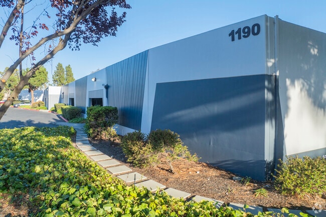
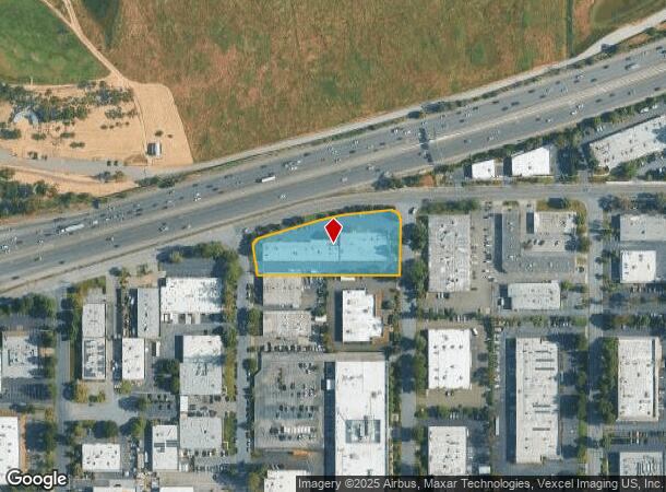
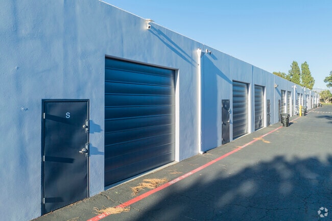
Property Record
1206 Old Mountain View-Alviso Rd, Sunnyvale, CA 94089

Current Lease Availabilities
NEARBY LISTINGS FOR SALE OR LEASE
Property Detail
1206 Old Mountain View-Alviso Rd
104-32-034
Rancho Pastoria De Los Borregas
Industrialgeneral
LOT B RECORDERS BOOK 400 PAGE 22
AE
Santa Clara
06085C0061H
California
2024
1.44 AC
2025
Sunnyvale
504805
South Bay/San Jose
12,280 SF
San Jose-Sunnyvale-Santa Clara, CA
DEMOGRAPHICS near 1206 Old Mountain View-Alviso Rd
1 Mile
3 Mile
5 Mile
2024 Total Population
7,051
103,986
310,011
2029 Population
6,578
101,048
300,758
Pop Growth 2024-2029
(6.71%)
(2.83%)
(2.98%)
Average Age
43
36
37
2024 Total Households
2,628
40,134
118,398
HH Growth 2024-2029
(7.31%)
(2.92%)
(3.13%)
Median Household Inc
$120,364
$164,081
$166,176
Avg Household Size
2.60
2.50
2.50
2024 Avg HH Vehicles
2.00
2.00
2.00
Median Home Value
$252,645
$1,057,105
$1,095,402
Median Year Built
1996
1997
1981
Nearby Places
- Restaurants
- Banks
- Shops
- Fitness
- Groceries
PUBLIC TRANSPORTATION
TRANSIT/SUBWAY
Reamwood Station (Mountain View - Winchester Line - Santa Clara VTA Light Rail)
DRIVE
WALK
Distance
Reamwood Station (Mountain View - Winchester Line - Santa Clara VTA Light Rail)
2 min
12 min
0.6 mi
Reamwood Station (Mountain View - Alum Rock - VTA, Mountain View - Alum Rock Modified-W - VTA)
DRIVE
WALK
Distance
Reamwood Station (Mountain View - Alum Rock - VTA, Mountain View - Alum Rock Modified-W - VTA)
2 min
12 min
0.7 mi
Vienna Station (Mountain View - Alum Rock - VTA, Mountain View - Alum Rock Modified-W - VTA)
DRIVE
WALK
Distance
Vienna Station (Mountain View - Alum Rock - VTA, Mountain View - Alum Rock Modified-W - VTA)
2 min
18 min
0.9 mi
Patrick Henry Pocket Track (Old Ironsides - Winchester - VTA, Old Ironsides - Winchester Modified (North Portion) - VTA)
DRIVE
WALK
Distance
Patrick Henry Pocket Track (Old Ironsides - Winchester - VTA, Old Ironsides - Winchester Modified (North Portion) - VTA)
2 min
16 min
0.9 mi
Vienna Station (Mountain View - Winchester Line - Santa Clara VTA Light Rail)
DRIVE
WALK
Distance
Vienna Station (Mountain View - Winchester Line - Santa Clara VTA Light Rail)
2 min
17 min
0.9 mi
COMMUTER RAIL
Great America (ACE Train - Altamont Commuter Express (ACE), Altamont Corridor Express - Altamont Commuter Express (ACE), Capitol Corridor - Altamont Commuter Express (ACE))
DRIVE
WALK
Distance
Great America (ACE Train - Altamont Commuter Express (ACE), Altamont Corridor Express - Altamont Commuter Express (ACE), Capitol Corridor - Altamont Commuter Express (ACE))
4 min
2.1 mi
Lawrence (Caltrain - Caltrain (Caltrain), Limited - Caltrain (Caltrain), Local Weekday - Caltrain (Caltrain), Local Weekend - Caltrain (Caltrain))
DRIVE
WALK
Distance
Lawrence (Caltrain - Caltrain (Caltrain), Limited - Caltrain (Caltrain), Local Weekday - Caltrain (Caltrain), Local Weekend - Caltrain (Caltrain))
6 min
3.1 mi
AIRPORT
Norman Y Mineta San Jose International
DRIVE
WALK
Distance
Norman Y Mineta San Jose International
11 min
6.4 mi
San Francisco International
DRIVE
WALK
Distance
San Francisco International
38 min
29.3 mi
Metro Oakland International
DRIVE
WALK
Distance
Metro Oakland International
43 min
33.7 mi
Freight Ports
Port of Redwood City
DRIVE
WALK
Distance
Port of Redwood City
23 min
16.1 mi
Nearby Properties
Address
Land Use
TOTAL SIZE
Lot Size
Zoning
Address
Land Use
TOTAL SIZE
Lot Size
Zoning
553,793 SF
38.06 AC
ML
Address
Land Use
TOTAL SIZE
Lot Size
Zoning
777,000 SF
17.84 AC
MS
Address
Land Use
TOTAL SIZE
Lot Size
Zoning
0.06 AC
PD
Address
Land Use
TOTAL SIZE
Lot Size
Zoning
424,316 SF
22.37 AC
SU
Address
Land Use
TOTAL SIZE
Lot Size
Zoning
1,640,399 SF
101.23 AC
MP-I
Address
Land Use
TOTAL SIZE
Lot Size
Zoning
318,172 SF
60.47 AC
MP-TO
Address
Land Use
TOTAL SIZE
Lot Size
Zoning
107,203 SF
21.74 AC
MXD2
Address
Land Use
TOTAL SIZE
Lot Size
Zoning
238,239 SF
24.67 AC
PD
Address
Land Use
TOTAL SIZE
Lot Size
Zoning
111,585 SF
6.69 AC
ML
Address
Land Use
TOTAL SIZE
Lot Size
Zoning
16.72 AC
MSLSP
Address
Land Use
TOTAL SIZE
Lot Size
Zoning
636,145 SF
9.44 AC
IP
Address
Land Use
TOTAL SIZE
Lot Size
Zoning
181,562 SF
16.51 AC
ML
Address
Land Use
TOTAL SIZE
Lot Size
Zoning
818,051 SF
13.81 AC
CP
Address
Land Use
TOTAL SIZE
Lot Size
Zoning
73,425 SF
14.20 AC
MS
Address
Land Use
TOTAL SIZE
Lot Size
Zoning
181,709 SF
24.01 AC
MPI
Address
Land Use
TOTAL SIZE
Lot Size
Zoning
81,250 SF
14.73 AC
MPT
Address
Land Use
TOTAL SIZE
Lot Size
Zoning
431,256 SF
12.43 AC
PPSP
Address
Land Use
TOTAL SIZE
Lot Size
Zoning
350,633 SF
1.08 AC
MPTOD
Address
Land Use
TOTAL SIZE
Lot Size
Zoning
350,633 SF
1.27 AC
MPTOD
Address
Land Use
TOTAL SIZE
Lot Size
Zoning
23.19 AC
MP-I
Address
Land Use
TOTAL SIZE
Lot Size
Zoning
350,633 SF
1.08 AC
MPTOD
Address
Land Use
TOTAL SIZE
Lot Size
Zoning
180,846 SF
12.19 AC
ML
Address
Land Use
TOTAL SIZE
Lot Size
Zoning
17.25 AC
MPI
Address
Land Use
TOTAL SIZE
Lot Size
Zoning
530,457 SF
6.71 AC
A(PD)
Address
Land Use
TOTAL SIZE
Lot Size
Zoning
162,205 SF
18.69 AC
MS
Address
Land Use
TOTAL SIZE
Lot Size
Zoning
107.73 AC
CT
Address
Land Use
TOTAL SIZE
Lot Size
Zoning
208,562 SF
9.10 AC
CP
Address
Land Use
TOTAL SIZE
Lot Size
Zoning
23,709 SF
7.48 AC
PPSP
Address
Land Use
TOTAL SIZE
Lot Size
Zoning
22,400 SF
11.43 AC
MP-TO
Address
Land Use
TOTAL SIZE
Lot Size
Zoning
22.40 AC
PD
The World's #1 Commercial Real Estate Marketplace
Connect with us
© 2025 CoStar Group
The information above has been obtained from sources believed reliable. While we do not doubt its accuracy we have not verified it and make no guarantee, warranty or representation about it. It is your responsibility to independently confirm its accuracy and completeness. Any projections, opinions, assumptions, or estimates used are for example only and do not represent the current or future performance of the property. The value of this transaction to you depends on tax and other factors which should be evaluated by your tax, financial, and legal advisors. You and your advisors should conduct a careful, independent investigation of the property to determine to your satisfaction the suitability of the property for your needs.