Property Record
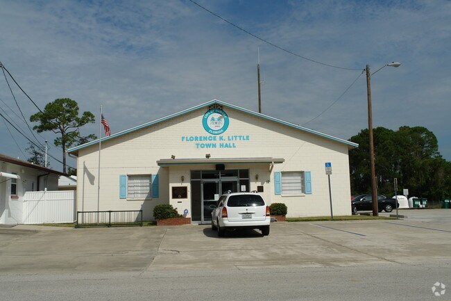
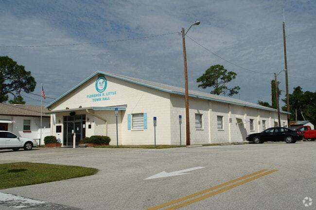
12 Colomba Rd, Debary, FL 32713

Property Detail
12 Colomba Rd
8034-11-01-0320
34-18-30 LOTS 32 TO 38 INC BLK A PLANTATION ESTATES UNIT 2 MB 11 PG 183 EXC IRREG PARCEL MEAS 81.77 FT ALONG W/L OF LOT 32 & 66.86 FT ON N/S COLOMBA RD PER OR 4062 PG 0557 PER OR 5919 PGS 3160-3161
Municipalproperty
Volusia
01B4
Florida
B and X Area of moderate flood hazard, usually the area between the limits of the 100-year and 500-year floods.
32-38
0
3.09 AC
2026
Deltona
090905
Deltona/Daytona Beach
20,075 SF
Deltona-Daytona Beach-Ormond Beach, FL
NEARBY LISTINGS FOR SALE OR LEASE
-
-
View all Debary listings for sale on LoopNet.com
DEMOGRAPHICS near 12 Colomba Rd
1 mile
3 mile
5 mile
2025 Total Population
7,796
33,644
93,418
2030 Population
8,265
35,860
99,665
Pop Growth 2025-2030
+ 6.02%
+ 6.59%
+ 6.69%
Average Age
43
43
42
2025 Total Households
3,080
13,382
36,300
HH Growth 2025-2030
+ 6.01%
+ 6.49%
+ 6.64%
Median Household Inc
$83,480
$78,082
$72,202
Avg Household Size
2.50
2.50
2.50
2025 Avg HH Vehicles
2.00
2.00
2.00
Median Home Value
$336,725
$352,493
$331,067
Median Year Built
1983
1992
1990
Nearby Places
Map Layers
Map Styles
 Street
 Aerial
Layers
 Traffic
 Biking
Places
Listings with unknown addresses are not visible on the map
- Restaurants
- Banks
- Shops
- Fitness
- Groceries
PUBLIC TRANSPORTATION
COMMUTER RAIL
Debary (SunRail - Florida Department of Transportation)
Drive
Walk
Distance
Debary (SunRail - Florida Department of Transportation)
4 min
2.3 mi
Sanford (SunRail - Florida Department of Transportation)
Drive
Walk
Distance
Sanford (SunRail - Florida Department of Transportation)
14 min
7.9 mi
AIRPORT
Orlando Sanford International
Drive
Walk
Distance
Orlando Sanford International
25 min
13.1 mi
Daytona Beach International
Drive
Walk
Distance
Daytona Beach International
39 min
28.7 mi
Freight Ports
Port Canaveral
Drive
Walk
Distance
Port Canaveral
91 min
74.3 mi
Nearby Properties
Address
Land Use
TOTAL SIZE
Lot Size
Zoning
Address
Land Use
TOTAL SIZE
Lot Size
Zoning
485,392 SF
69.83 AC
ROW
Address
Land Use
TOTAL SIZE
Lot Size
Zoning
409,021 SF
38.53 AC
ROW
Address
Land Use
TOTAL SIZE
Lot Size
Zoning
381,678 SF
15.85 AC
Address
Land Use
TOTAL SIZE
Lot Size
Zoning
258,869 SF
38.34 AC
P
Address
Land Use
TOTAL SIZE
Lot Size
Zoning
212,959 SF
65.31 AC
MPUDE
Address
Land Use
TOTAL SIZE
Lot Size
Zoning
232,605 SF
15.03 AC
12B4
Address
Land Use
TOTAL SIZE
Lot Size
Zoning
9,460 SF
208.56 AC
Address
Land Use
TOTAL SIZE
Lot Size
Zoning
136,761 SF
17.77 AC
Address
Land Use
TOTAL SIZE
Lot Size
Zoning
50,005 SF
5.60 AC
Address
Land Use
TOTAL SIZE
Lot Size
Zoning
11,016 SF
13 AC
01MH1
Address
Land Use
TOTAL SIZE
Lot Size
Zoning
170,850 SF
17.82 AC
Address
Land Use
TOTAL SIZE
Lot Size
Zoning
213,506 SF
21 AC
12R2
Address
Land Use
TOTAL SIZE
Lot Size
Zoning
193,964 SF
23.50 AC
Address
Land Use
TOTAL SIZE
Lot Size
Zoning
135,845 SF
18.34 AC
Address
Land Use
TOTAL SIZE
Lot Size
Zoning
11,509 SF
10 AC
01MH1
Address
Land Use
TOTAL SIZE
Lot Size
Zoning
117,406 SF
17.58 AC
Address
Land Use
TOTAL SIZE
Lot Size
Zoning
169,634 SF
12.97 AC
01B
Address
Land Use
TOTAL SIZE
Lot Size
Zoning
121,380 SF
2.33 AC
Address
Land Use
TOTAL SIZE
Lot Size
Zoning
147,759 SF
19.64 AC
Address
Land Use
TOTAL SIZE
Lot Size
Zoning
44,975 SF
7.98 AC
Address
Land Use
TOTAL SIZE
Lot Size
Zoning
214,666 SF
9 AC
Address
Land Use
TOTAL SIZE
Lot Size
Zoning
174,640 SF
13.46 AC
Address
Land Use
TOTAL SIZE
Lot Size
Zoning
115,271 SF
17.08 AC
R4
Address
Land Use
TOTAL SIZE
Lot Size
Zoning
127,891 SF
10.58 AC
Address
Land Use
TOTAL SIZE
Lot Size
Zoning
109,060 SF
13.21 AC
ROW
Address
Land Use
TOTAL SIZE
Lot Size
Zoning
16,070 SF
30.33 AC
Address
Land Use
TOTAL SIZE
Lot Size
Zoning
130,665 SF
9.20 AC
01B9
Address
Land Use
TOTAL SIZE
Lot Size
Zoning
44,666 SF
4.77 AC
01B4
Address
Land Use
TOTAL SIZE
Lot Size
Zoning
93,717 SF
10.12 AC
R4E
Address
Land Use
TOTAL SIZE
Lot Size
Zoning
111,512 SF
18.91 AC
B4
The World's #1 Commercial Real Estate Marketplace
Connect with us
© 2026 CoStar Group
The information above has been obtained from sources believed reliable. While we do not doubt its accuracy we have not verified it and make no guarantee, warranty or representation about it. It is your responsibility to independently confirm its accuracy and completeness. Any projections, opinions, assumptions, or estimates used are for example only and do not represent the current or future performance of the property. The value of this transaction to you depends on tax and other factors which should be evaluated by your tax, financial, and legal advisors. You and your advisors should conduct a careful, independent investigation of the property to determine to your satisfaction the suitability of the property for your needs.