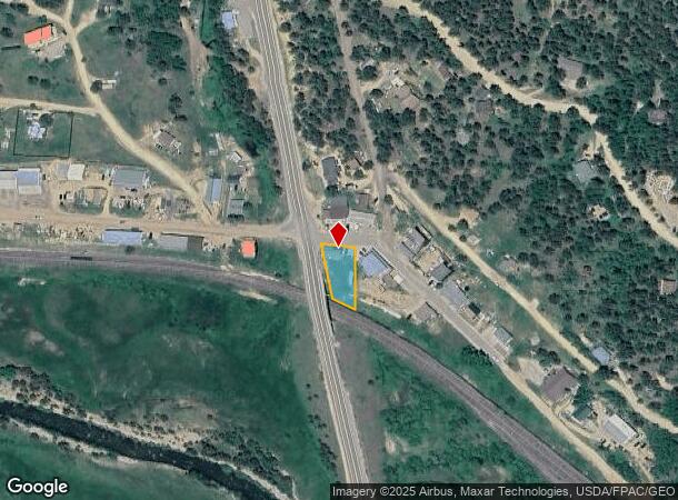
Property Record
12 Main St, Rollinsville, CO 80474


Property Detail
12 Main St
R002164
Rollinsville
Commercialnec
S: 36 T: 1S R: 73W SUBD: ROLLINSVILLE 194/260 LESS 194/531 & 194/571 & IMPS
X
Gilpin
08013C0525K
Colorado
2025
0.17 AC
2024
Southwest Outlying
013801
Denver
2,572 SF
Denver-Aurora-Centennial, CO
NEARBY LISTINGS FOR SALE OR LEASE
DEMOGRAPHICS near 12 Main St
1 mile
3 mile
5 mile
2024 Total Population
251
1,693
4,584
2029 Population
259
1,708
4,586
Pop Growth 2024-2029
+ 3.19%
+ 0.89%
+ 0.04%
Average Age
45
45
45
2024 Total Households
116
777
2,071
HH Growth 2024-2029
+ 3.45%
+ 0.90%
+ 0.05%
Median Household Inc
$89,843
$93,571
$95,768
Avg Household Size
2.10
2.20
2.20
2024 Avg HH Vehicles
3.00
3.00
2.00
Median Home Value
$450,000
$473,669
$493,115
Median Year Built
1991
1989
1977
Nearby Places
Map Layers
Map Styles
 Street
 Aerial
Transit
 Traffic
 Biking
Places
Listings with unknown addresses are not visible on the map
- Restaurants
- Banks
- Shops
- Fitness
- Groceries
Nearby Properties
Address
Land Use
TOTAL SIZE
Lot Size
Zoning
Address
Land Use
TOTAL SIZE
Lot Size
Zoning
173.50 AC
F
Address
Land Use
TOTAL SIZE
Lot Size
Zoning
170.19 AC
F
Address
Land Use
TOTAL SIZE
Lot Size
Zoning
85.18 AC
F
Address
Land Use
TOTAL SIZE
Lot Size
Zoning
180.34 AC
F
Address
Land Use
TOTAL SIZE
Lot Size
Zoning
76.35 AC
F
Address
Land Use
TOTAL SIZE
Lot Size
Zoning
Address
Land Use
TOTAL SIZE
Lot Size
Zoning
59.06 AC
F
Address
Land Use
TOTAL SIZE
Lot Size
Zoning
18.99 AC
F
Address
Land Use
TOTAL SIZE
Lot Size
Zoning
44 SF
F
Address
Land Use
TOTAL SIZE
Lot Size
Zoning
30.25 AC
F
Address
Land Use
TOTAL SIZE
Lot Size
Zoning
10.01 AC
F
Address
Land Use
TOTAL SIZE
Lot Size
Zoning
72.07 AC
F
Address
Land Use
TOTAL SIZE
Lot Size
Zoning
454.51 AC
F
Address
Land Use
TOTAL SIZE
Lot Size
Zoning
9.14 AC
F
Address
Land Use
TOTAL SIZE
Lot Size
Zoning
40.55 AC
F
Address
Land Use
TOTAL SIZE
Lot Size
Zoning
23,002 SF
0.86 AC
Address
Land Use
TOTAL SIZE
Lot Size
Zoning
8 SF
8.22 AC
F
Address
Land Use
TOTAL SIZE
Lot Size
Zoning
Address
Land Use
TOTAL SIZE
Lot Size
Zoning
9,922 SF
13.06 AC
Address
Land Use
TOTAL SIZE
Lot Size
Zoning
3 SF
2.94 AC
F
Address
Land Use
TOTAL SIZE
Lot Size
Zoning
624 SF
0.16 AC
Address
Land Use
TOTAL SIZE
Lot Size
Zoning
Address
Land Use
TOTAL SIZE
Lot Size
Zoning
4,265 SF
0.21 AC
Address
Land Use
TOTAL SIZE
Lot Size
Zoning
Address
Land Use
TOTAL SIZE
Lot Size
Zoning
5,370 SF
78.04 AC
Address
Land Use
TOTAL SIZE
Lot Size
Zoning
900 SF
0.88 AC
F
Address
Land Use
TOTAL SIZE
Lot Size
Zoning
Address
Land Use
TOTAL SIZE
Lot Size
Zoning
2,052 SF
4.12 AC
Address
Land Use
TOTAL SIZE
Lot Size
Zoning
7,007 SF
53.74 AC
Address
Land Use
TOTAL SIZE
Lot Size
Zoning
0.31 AC
The World's #1 Commercial Real Estate Marketplace
Connect with us
© 2026 CoStar Group
The information above has been obtained from sources believed reliable. While we do not doubt its accuracy we have not verified it and make no guarantee, warranty or representation about it. It is your responsibility to independently confirm its accuracy and completeness. Any projections, opinions, assumptions, or estimates used are for example only and do not represent the current or future performance of the property. The value of this transaction to you depends on tax and other factors which should be evaluated by your tax, financial, and legal advisors. You and your advisors should conduct a careful, independent investigation of the property to determine to your satisfaction the suitability of the property for your needs.