No Photo
Property Record
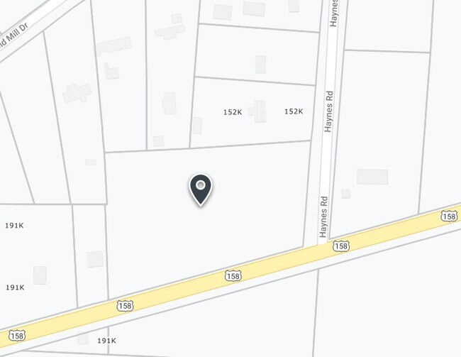
120 Haynes Rd, Summerfield, NC 27358

Save to a Folder
{{folder.Name}}
{{folder.ListingIds.length}} Properties
{{folder.ListingIds.length}} Property
Create a New Folder
Property Detail
120 Haynes Rd
123897
3.07 AC PT JAMES R STOUT & BEN F COLEMAN SURVEY STOUT & COLEMAN SURVEY
Commercialacreage
ROCKINGHAM
NGHD COMM/
North Carolina
B and X Area of moderate flood hazard, usually the area between the limits of the 100-year and 500-year floods.
3.07 AC
2025
Rockingham County
2025
Greensboro/Winston-Salem
041002
Greensboro-High Point, NC
NEARBY LISTINGS FOR SALE OR LEASE
-
-
View all Summerfield listings for sale on LoopNet.com
DEMOGRAPHICS near 120 Haynes Rd
1 mile
3 mile
5 mile
2025 Total Population
787
5,237
18,675
2030 Population
810
5,412
19,340
Pop Growth 2025-2030
+ 2.92%
+ 3.34%
+ 3.56%
Average Age
42
42
42
2025 Total Households
310
1,958
6,798
HH Growth 2025-2030
+ 2.90%
+ 3.37%
+ 3.65%
Median Household Inc
$70,131
$91,511
$112,261
Avg Household Size
2.50
2.60
2.70
2025 Avg HH Vehicles
2.00
2.00
2.00
Median Home Value
$221,978
$287,952
$380,207
Median Year Built
1991
1994
1995
Nearby Places
Map Layers
Map Styles
 Street
 Aerial
Layers
 Traffic
 Biking
Places
Listings with unknown addresses are not visible on the map
- Restaurants
- Banks
- Shops
- Fitness
- Groceries
PUBLIC TRANSPORTATION
AIRPORT
Piedmont Triad International
Drive
Walk
Distance
Piedmont Triad International
29 min
18.6 mi
SALE & LEASE HISTORY
LISTING DATE
SALE/LEASE

Feb 11, 2025
For Sale
Aug 12, 2019
For Sale
Nearby Properties
Address
Land Use
TOTAL SIZE
Lot Size
Zoning
Address
Land Use
TOTAL SIZE
Lot Size
Zoning
264,990 SF
43.64 AC
LIGHT INDU
Address
Land Use
TOTAL SIZE
Lot Size
Zoning
173,448 SF
26.10 AC
LIGHT INDU
Address
Land Use
TOTAL SIZE
Lot Size
Zoning
54,260 SF
18.91 AC
RS-30
Address
Land Use
TOTAL SIZE
Lot Size
Zoning
4,511 SF
463.69 AC
AG
Address
Land Use
TOTAL SIZE
Lot Size
Zoning
6,730 SF
72.08 AC
RS-30
Address
Land Use
TOTAL SIZE
Lot Size
Zoning
7,752 SF
6.29 AC
RES AG/RES
Address
Land Use
TOTAL SIZE
Lot Size
Zoning
12,000 SF
4.43 AC
LI
Address
Land Use
TOTAL SIZE
Lot Size
Zoning
4,389 SF
119.23 AC
AG
Address
Land Use
TOTAL SIZE
Lot Size
Zoning
16,621 SF
2.20 AC
PI
Address
Land Use
TOTAL SIZE
Lot Size
Zoning
23,850 SF
8.38 AC
LI
Address
Land Use
TOTAL SIZE
Lot Size
Zoning
9,100 SF
2.08 AC
NGHD COMM/
Address
Land Use
TOTAL SIZE
Lot Size
Zoning
7,620 SF
60.13 AC
HI
Address
Land Use
TOTAL SIZE
Lot Size
Zoning
8,605 SF
56.12 AC
AG
Address
Land Use
TOTAL SIZE
Lot Size
Zoning
828 SF
37.20 AC
AG
Address
Land Use
TOTAL SIZE
Lot Size
Zoning
117.60 AC
AG
Address
Land Use
TOTAL SIZE
Lot Size
Zoning
6,111 SF
1.75 AC
RS-40
Address
Land Use
TOTAL SIZE
Lot Size
Zoning
1,568 SF
84.67 AC
AG
Address
Land Use
TOTAL SIZE
Lot Size
Zoning
5,353 SF
0.93 AC
RS-40
Address
Land Use
TOTAL SIZE
Lot Size
Zoning
5,795 SF
1.08 AC
RS-40
Address
Land Use
TOTAL SIZE
Lot Size
Zoning
5,408 SF
0.99 AC
RS-40
Address
Land Use
TOTAL SIZE
Lot Size
Zoning
11,269 SF
2 AC
RES PROTEC
Address
Land Use
TOTAL SIZE
Lot Size
Zoning
5,661 SF
0.98 AC
AG
Address
Land Use
TOTAL SIZE
Lot Size
Zoning
7,459 SF
1.50 AC
RS-40
Address
Land Use
TOTAL SIZE
Lot Size
Zoning
5,043 SF
1.16 AC
RS-40
Address
Land Use
TOTAL SIZE
Lot Size
Zoning
5,263 SF
0.99 AC
RS-40
Address
Land Use
TOTAL SIZE
Lot Size
Zoning
5,001 SF
16.06 AC
AG
Address
Land Use
TOTAL SIZE
Lot Size
Zoning
5,484 SF
9.64 AC
AG
Address
Land Use
TOTAL SIZE
Lot Size
Zoning
101.04 AC
AG
Address
Land Use
TOTAL SIZE
Lot Size
Zoning
6,422 SF
0.94 AC
RS-40
Address
Land Use
TOTAL SIZE
Lot Size
Zoning
6,126 SF
1.31 AC
RS-40
The World's #1 Commercial Real Estate Marketplace
Connect with us
© 2026 CoStar Group
The information above has been obtained from sources believed reliable. While we do not doubt its accuracy we have not verified it and make no guarantee, warranty or representation about it. It is your responsibility to independently confirm its accuracy and completeness. Any projections, opinions, assumptions, or estimates used are for example only and do not represent the current or future performance of the property. The value of this transaction to you depends on tax and other factors which should be evaluated by your tax, financial, and legal advisors. You and your advisors should conduct a careful, independent investigation of the property to determine to your satisfaction the suitability of the property for your needs.