Property Record
120 Pine Ave, Albany, GA 31701


Property Detail
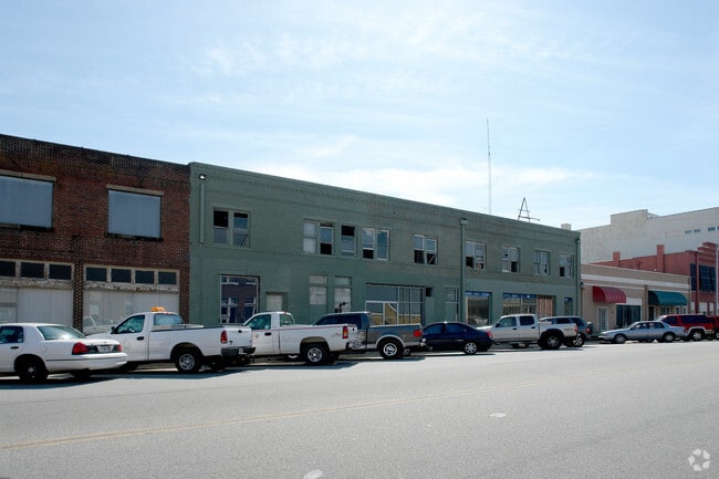
120 Pine Ave
0N101-00001-002
LOT 10 ,12,14,16
Commercialnec
DOUGHERTY
C-2
Georgia
B and X Area of moderate flood hazard, usually the area between the limits of the 100-year and 500-year floods.
10,12
2025
1 AC
2025
Albany/Southwest
011400
Other Market Areas
16,808 SF
Albany, GA
NEARBY LISTINGS FOR SALE OR LEASE
DEMOGRAPHICS near 120 Pine Ave
1 mile
3 mile
5 mile
2025 Total Population
3,956
37,751
70,770
2030 Population
4,005
37,257
69,785
Pop Growth 2025-2030
+ 1.24%
(1.31%)
(1.39%)
Average Age
36
37
38
2025 Total Households
1,554
15,207
29,174
HH Growth 2025-2030
+ 1.74%
(1.27%)
(1.50%)
Median Household Inc
$23,967
$32,726
$44,835
Avg Household Size
2.00
2.30
2.30
2025 Avg HH Vehicles
1.00
1.00
1.00
Median Home Value
$76,999
$88,068
$141,362
Median Year Built
1965
1965
1974
Nearby Places
Map Layers
Map Styles
 Street
 Aerial
Layers
 Traffic
 Biking
Places
Listings with unknown addresses are not visible on the map
- Restaurants
- Banks
- Shops
- Fitness
- Groceries
PUBLIC TRANSPORTATION
AIRPORT
Southwest Georgia Regional
Drive
Walk
Distance
Southwest Georgia Regional
12 min
4.9 mi
The World's #1 Commercial Real Estate Marketplace
Connect with us
© 2026 CoStar Group
The information above has been obtained from sources believed reliable. While we do not doubt its accuracy we have not verified it and make no guarantee, warranty or representation about it. It is your responsibility to independently confirm its accuracy and completeness. Any projections, opinions, assumptions, or estimates used are for example only and do not represent the current or future performance of the property. The value of this transaction to you depends on tax and other factors which should be evaluated by your tax, financial, and legal advisors. You and your advisors should conduct a careful, independent investigation of the property to determine to your satisfaction the suitability of the property for your needs.