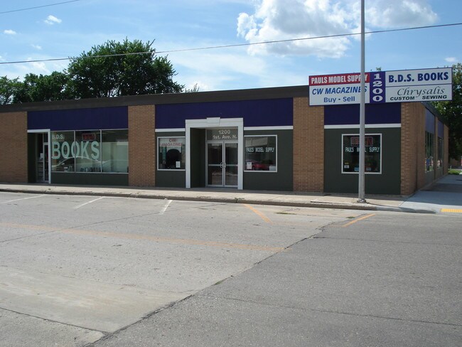
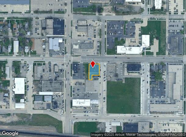
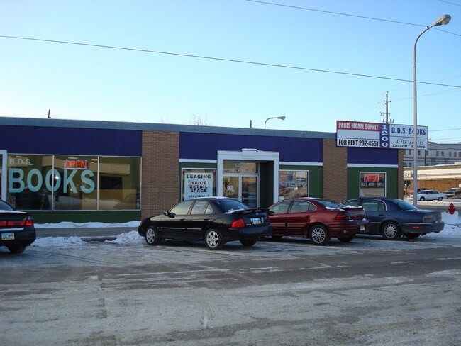
Property Record
1200 1St Ave N, Fargo, ND 58102
NEARBY LISTINGS FOR SALE OR LEASE
Property Detail
1200 1St Ave N
Fargo, ND-MN
Roberts 2Nd
01-2382-04140-000
LOT: A BLOCK: 42 ADDITION: ROBERTS - AUDOTORS SUB ADDITIONAL: ROBERTS 2ND - TYLER & BENTONS N 100' LOT A BLK 42 AND N 100' &
Realpropertynec
Cass
X
North Dakota
38017C0593G
a,b
2024
0.24 AC
2024
Downtown Fargo
000602
Other Market Areas
7,360 SF
DEMOGRAPHICS near 1200 1St Ave N
1 Mile
3 Mile
5 Mile
2024 Total Population
18,187
93,492
172,832
2029 Population
19,613
98,666
182,591
Pop Growth 2024-2029
+ 7.84%
+ 5.53%
+ 5.65%
Average Age
36
37
37
2024 Total Households
9,126
40,844
74,435
HH Growth 2024-2029
+ 8.60%
+ 6.44%
+ 6.38%
Median Household Inc
$34,947
$50,582
$57,650
Avg Household Size
1.80
2.00
2.10
2024 Avg HH Vehicles
2.00
2.00
2.00
Median Home Value
$187,312
$209,071
$233,415
Median Year Built
1960
1972
1984
Nearby Places
Map Layers
Map Styles
 Street
 Aerial
- Restaurants
- Banks
- Shops
- Fitness
- Groceries
PUBLIC TRANSPORTATION
COMMUTER RAIL
DRIVE
WALK
Distance
2 min
15 min
0.8 mi
AIRPORT
Hector International
DRIVE
WALK
Distance
Hector International
9 min
4.0 mi
Nearby Properties
Address
Land Use
TOTAL SIZE
Lot Size
Zoning
Address
Land Use
TOTAL SIZE
Lot Size
Zoning
40.49 AC
Address
Land Use
TOTAL SIZE
Lot Size
Zoning
30.61 AC
Address
Land Use
TOTAL SIZE
Lot Size
Zoning
Address
Land Use
TOTAL SIZE
Lot Size
Zoning
17.38 AC
Address
Land Use
TOTAL SIZE
Lot Size
Zoning
21.81 AC
Address
Land Use
TOTAL SIZE
Lot Size
Zoning
53.42 AC
Address
Land Use
TOTAL SIZE
Lot Size
Zoning
39.01 AC
Address
Land Use
TOTAL SIZE
Lot Size
Zoning
32.98 AC
Address
Land Use
TOTAL SIZE
Lot Size
Zoning
408,617 SF
9.33 AC
GC
Address
Land Use
TOTAL SIZE
Lot Size
Zoning
121,584 SF
5.64 AC
MR3
Address
Land Use
TOTAL SIZE
Lot Size
Zoning
14.53 AC
Address
Land Use
TOTAL SIZE
Lot Size
Zoning
621,097 SF
49.49 AC
LI
Address
Land Use
TOTAL SIZE
Lot Size
Zoning
162,875 SF
12.32 AC
MR3
Address
Land Use
TOTAL SIZE
Lot Size
Zoning
3.39 AC
Address
Land Use
TOTAL SIZE
Lot Size
Zoning
12.07 AC
Address
Land Use
TOTAL SIZE
Lot Size
Zoning
Address
Land Use
TOTAL SIZE
Lot Size
Zoning
107,995 SF
1 AC
DMU
Address
Land Use
TOTAL SIZE
Lot Size
Zoning
5.23 AC
Address
Land Use
TOTAL SIZE
Lot Size
Zoning
2.77 AC
Address
Land Use
TOTAL SIZE
Lot Size
Zoning
0.22 AC
Address
Land Use
TOTAL SIZE
Lot Size
Zoning
999.99 AC
Address
Land Use
TOTAL SIZE
Lot Size
Zoning
3.31 AC
Address
Land Use
TOTAL SIZE
Lot Size
Zoning
0.17 AC
Address
Land Use
TOTAL SIZE
Lot Size
Zoning
4.90 AC
Address
Land Use
TOTAL SIZE
Lot Size
Zoning
2.91 AC
Address
Land Use
TOTAL SIZE
Lot Size
Zoning
163,398 SF
1.92 AC
LC
Address
Land Use
TOTAL SIZE
Lot Size
Zoning
73.98 AC
Address
Land Use
TOTAL SIZE
Lot Size
Zoning
109,174 SF
1.25 AC
UMU
Address
Land Use
TOTAL SIZE
Lot Size
Zoning
6.02 AC
Address
Land Use
TOTAL SIZE
Lot Size
Zoning
45.33 AC
GC
The World's #1 Commercial Real Estate Marketplace
Connect with us
© 2025 CoStar Group
The information above has been obtained from sources believed reliable. While we do not doubt its accuracy we have not verified it and make no guarantee, warranty or representation about it. It is your responsibility to independently confirm its accuracy and completeness. Any projections, opinions, assumptions, or estimates used are for example only and do not represent the current or future performance of the property. The value of this transaction to you depends on tax and other factors which should be evaluated by your tax, financial, and legal advisors. You and your advisors should conduct a careful, independent investigation of the property to determine to your satisfaction the suitability of the property for your needs.