Property Record
1200 Whitesville St, Lagrange, GA 30240

Save to a Folder
{{folder.Name}}
{{folder.ListingIds.length}} Properties
{{folder.ListingIds.length}} Property
Create a New Folder
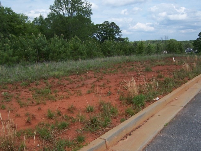
Property Detail
1200 Whitesville St
060-1A-013-003
1200 WHITESVILLE ST/ TR-1A
Apartment
TROUP
16- CR-MR
Georgia
AE The base floodplain where base flood elevations are provided. AE Zones are now used on new format FIRMs instead of A1-A30 Zones.
9.67 AC
0
Troup County
2025
Columbus GA
960901
LaGrange, GA-AL
4,428 SF
NEARBY LISTINGS FOR SALE OR LEASE
DEMOGRAPHICS near 1200 Whitesville St
1 mile
3 mile
5 mile
2025 Total Population
5,558
27,907
41,575
2030 Population
5,853
28,975
43,004
Pop Growth 2025-2030
+ 5.31%
+ 3.83%
+ 3.44%
Average Age
37
38
39
2025 Total Households
2,114
10,912
16,048
HH Growth 2025-2030
+ 5.58%
+ 4.00%
+ 3.65%
Median Household Inc
$33,230
$41,356
$49,560
Avg Household Size
2.50
2.40
2.50
2025 Avg HH Vehicles
1.00
2.00
2.00
Median Home Value
$79,009
$165,281
$217,212
Median Year Built
1973
1978
1983
Nearby Places
Map Layers
Map Styles
 Street
 Aerial
Layers
 Traffic
 Biking
Places
Listings with unknown addresses are not visible on the map
- Restaurants
- Banks
- Shops
- Fitness
- Groceries
Nearby Properties
Address
Land Use
TOTAL SIZE
Lot Size
Zoning
Address
Land Use
TOTAL SIZE
Lot Size
Zoning
375,609 SF
44.39 AC
16- AC-MX
Address
Land Use
TOTAL SIZE
Lot Size
Zoning
497,181 SF
272.91 AC
16- CP-GI
Address
Land Use
TOTAL SIZE
Lot Size
Zoning
35,964 SF
72.39 AC
16- CP-GI
Address
Land Use
TOTAL SIZE
Lot Size
Zoning
2,095 SF
16.50 AC
16- CP-GB
Address
Land Use
TOTAL SIZE
Lot Size
Zoning
Address
Land Use
TOTAL SIZE
Lot Size
Zoning
44.39 AC
16-C-3
Address
Land Use
TOTAL SIZE
Lot Size
Zoning
17,328 SF
9.75 AC
16- CP-GB
Address
Land Use
TOTAL SIZE
Lot Size
Zoning
525,250 SF
45.33 AC
16- CP-GI
Address
Land Use
TOTAL SIZE
Lot Size
Zoning
20,096 SF
36.59 AC
16- AC-MX
Address
Land Use
TOTAL SIZE
Lot Size
Zoning
35,269 SF
22.34 AC
16- CR-MR
Address
Land Use
TOTAL SIZE
Lot Size
Zoning
28,575 SF
45.67 AC
16- CR-MX
Address
Land Use
TOTAL SIZE
Lot Size
Zoning
109,533 SF
1.80 AC
16- DT-MX
Address
Land Use
TOTAL SIZE
Lot Size
Zoning
95,472 SF
30.05 AC
16- CR-MR
Address
Land Use
TOTAL SIZE
Lot Size
Zoning
277,964 SF
43.40 AC
16- CP-GI
Address
Land Use
TOTAL SIZE
Lot Size
Zoning
4,909 SF
715.68 AC
16- CP-GI
Address
Land Use
TOTAL SIZE
Lot Size
Zoning
211,264 SF
57.40 AC
16- AC-MX
Address
Land Use
TOTAL SIZE
Lot Size
Zoning
174,899 SF
7.52 AC
16- TN-R
Address
Land Use
TOTAL SIZE
Lot Size
Zoning
25,314 SF
25.48 AC
16- AC-MR
Address
Land Use
TOTAL SIZE
Lot Size
Zoning
323,137 SF
34.65 AC
16- CP-GI
Address
Land Use
TOTAL SIZE
Lot Size
Zoning
Address
Land Use
TOTAL SIZE
Lot Size
Zoning
757,316 SF
72.64 AC
16- CP-GI
Address
Land Use
TOTAL SIZE
Lot Size
Zoning
343,734 SF
19.82 AC
16- CP-GI
Address
Land Use
TOTAL SIZE
Lot Size
Zoning
Address
Land Use
TOTAL SIZE
Lot Size
Zoning
92,907 SF
41.61 AC
16- CP-GI
Address
Land Use
TOTAL SIZE
Lot Size
Zoning
141,328 SF
7.18 AC
16- TN-MX
Address
Land Use
TOTAL SIZE
Lot Size
Zoning
484,700 SF
54.09 AC
16- CP-GI
Address
Land Use
TOTAL SIZE
Lot Size
Zoning
29,978 SF
1 AC
16- AC-MX
Address
Land Use
TOTAL SIZE
Lot Size
Zoning
53,565 SF
26.06 AC
16- CP-GI
Address
Land Use
TOTAL SIZE
Lot Size
Zoning
159,645 SF
2.98 AC
16- DT-MX
Address
Land Use
TOTAL SIZE
Lot Size
Zoning
29,520 SF
1.92 AC
16- CP-GB
The World's #1 Commercial Real Estate Marketplace
Connect with us
© 2026 CoStar Group
The information above has been obtained from sources believed reliable. While we do not doubt its accuracy we have not verified it and make no guarantee, warranty or representation about it. It is your responsibility to independently confirm its accuracy and completeness. Any projections, opinions, assumptions, or estimates used are for example only and do not represent the current or future performance of the property. The value of this transaction to you depends on tax and other factors which should be evaluated by your tax, financial, and legal advisors. You and your advisors should conduct a careful, independent investigation of the property to determine to your satisfaction the suitability of the property for your needs.