Property Record
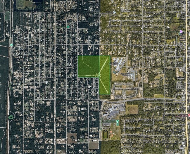
1201 Catherine St, Orange City, FL 32763
NEARBY LISTINGS FOR SALE OR LEASE
-
-
East Rhode Island Avenue @ Veterans Memorial Hwy
Orange City, FL 32763
$11,500,000
42.92 AC Lots
Land
-
-
-
-
-
View all Orange City listings for sale on LoopNet.com
Property Detail
1201 Catherine St
8010-00-00-0021
10-18-30 W 660 FT OF N 2310 FT EXC W 30 FT OF N 990 FT OF SW 1/4 OF SW 1/4 PER OR 2640 PG 0639
Commercialacreage
Volusia
X
Florida
12127C0605H
34.32 AC
2025
Deltona
2025
Deltona/Daytona Beach
090804
Deltona-Daytona Beach-Ormond Beach, FL
3,445 SF
DEMOGRAPHICS near 1201 Catherine St
1 Mile
3 Mile
5 Mile
2024 Total Population
5,515
30,987
88,450
2029 Population
5,889
33,053
94,148
Pop Growth 2024-2029
+ 6.78%
+ 6.67%
+ 6.44%
Average Age
41
45
43
2024 Total Households
2,127
12,936
34,654
HH Growth 2024-2029
+ 6.63%
+ 6.61%
+ 6.34%
Median Household Inc
$66,824
$66,222
$73,677
Avg Household Size
2.60
2.40
2.50
2024 Avg HH Vehicles
2.00
2.00
2.00
Median Home Value
$322,110
$315,201
$333,256
Median Year Built
1989
1993
1990
Nearby Places
Map Layers
Map Styles
 Street
 Aerial
- Restaurants
- Banks
- Shops
- Fitness
- Groceries
PUBLIC TRANSPORTATION
COMMUTER RAIL
Debary (SunRail - Florida Department of Transportation)
DRIVE
WALK
Distance
Debary (SunRail - Florida Department of Transportation)
13 min
7.0 mi
Deland (Silver Meteor - Amtrak, Silver Star - Amtrak, SunRail - Amtrak)
DRIVE
WALK
Distance
Deland (Silver Meteor - Amtrak, Silver Star - Amtrak, SunRail - Amtrak)
19 min
9.9 mi
AIRPORT
Orlando Sanford International
DRIVE
WALK
Distance
Orlando Sanford International
34 min
17.8 mi
Daytona Beach International
DRIVE
WALK
Distance
Daytona Beach International
38 min
27.0 mi
Freight Ports
Port Canaveral
DRIVE
WALK
Distance
Port Canaveral
100 min
79.0 mi
Nearby Properties
Address
Land Use
TOTAL SIZE
Lot Size
Zoning
Address
Land Use
TOTAL SIZE
Lot Size
Zoning
485,392 SF
69.83 AC
ROW
Address
Land Use
TOTAL SIZE
Lot Size
Zoning
409,021 SF
38.53 AC
ROW
Address
Land Use
TOTAL SIZE
Lot Size
Zoning
689,978 SF
39.89 AC
RRC
Address
Land Use
TOTAL SIZE
Lot Size
Zoning
390,347 SF
4.10 AC
Address
Land Use
TOTAL SIZE
Lot Size
Zoning
369,949 SF
13.70 AC
Address
Land Use
TOTAL SIZE
Lot Size
Zoning
299,423 SF
88.63 AC
12R1
Address
Land Use
TOTAL SIZE
Lot Size
Zoning
350,763 SF
60 AC
12R1
Address
Land Use
TOTAL SIZE
Lot Size
Zoning
19,040 SF
2,196.87 AC
C
Address
Land Use
TOTAL SIZE
Lot Size
Zoning
221,429 SF
25.84 AC
Address
Land Use
TOTAL SIZE
Lot Size
Zoning
136,761 SF
17.77 AC
Address
Land Use
TOTAL SIZE
Lot Size
Zoning
121,380 SF
2.33 AC
Address
Land Use
TOTAL SIZE
Lot Size
Zoning
50,005 SF
5.60 AC
Address
Land Use
TOTAL SIZE
Lot Size
Zoning
170,850 SF
17.82 AC
Address
Land Use
TOTAL SIZE
Lot Size
Zoning
229,109 SF
11.54 AC
Address
Land Use
TOTAL SIZE
Lot Size
Zoning
11,016 SF
13 AC
01MH1
Address
Land Use
TOTAL SIZE
Lot Size
Zoning
213,506 SF
21 AC
12R2
Address
Land Use
TOTAL SIZE
Lot Size
Zoning
193,964 SF
23.50 AC
Address
Land Use
TOTAL SIZE
Lot Size
Zoning
4,684 SF
1.14 AC
12MH1
Address
Land Use
TOTAL SIZE
Lot Size
Zoning
117,406 SF
17.58 AC
Address
Land Use
TOTAL SIZE
Lot Size
Zoning
11,509 SF
10 AC
01MH1
Address
Land Use
TOTAL SIZE
Lot Size
Zoning
147,759 SF
19.64 AC
Address
Land Use
TOTAL SIZE
Lot Size
Zoning
214,666 SF
9 AC
Address
Land Use
TOTAL SIZE
Lot Size
Zoning
174,640 SF
13.46 AC
Address
Land Use
TOTAL SIZE
Lot Size
Zoning
44,975 SF
7.98 AC
Address
Land Use
TOTAL SIZE
Lot Size
Zoning
115,271 SF
17.08 AC
R4
Address
Land Use
TOTAL SIZE
Lot Size
Zoning
127,891 SF
10.58 AC
Address
Land Use
TOTAL SIZE
Lot Size
Zoning
87,981 SF
4.43 AC
Address
Land Use
TOTAL SIZE
Lot Size
Zoning
95,317 SF
17.65 AC
01R3
Address
Land Use
TOTAL SIZE
Lot Size
Zoning
109,060 SF
13.21 AC
ROW
Address
Land Use
TOTAL SIZE
Lot Size
Zoning
130,665 SF
9.20 AC
01B9
The World's #1 Commercial Real Estate Marketplace
Connect with us
© 2025 CoStar Group
The information above has been obtained from sources believed reliable. While we do not doubt its accuracy we have not verified it and make no guarantee, warranty or representation about it. It is your responsibility to independently confirm its accuracy and completeness. Any projections, opinions, assumptions, or estimates used are for example only and do not represent the current or future performance of the property. The value of this transaction to you depends on tax and other factors which should be evaluated by your tax, financial, and legal advisors. You and your advisors should conduct a careful, independent investigation of the property to determine to your satisfaction the suitability of the property for your needs.