Property Record
12033 Monica St, Detroit, MI 48204


This Property Is For Sale
NEARBY LISTINGS FOR SALE OR LEASE
Property Detail
12033 Monica St
16-0219946
Green
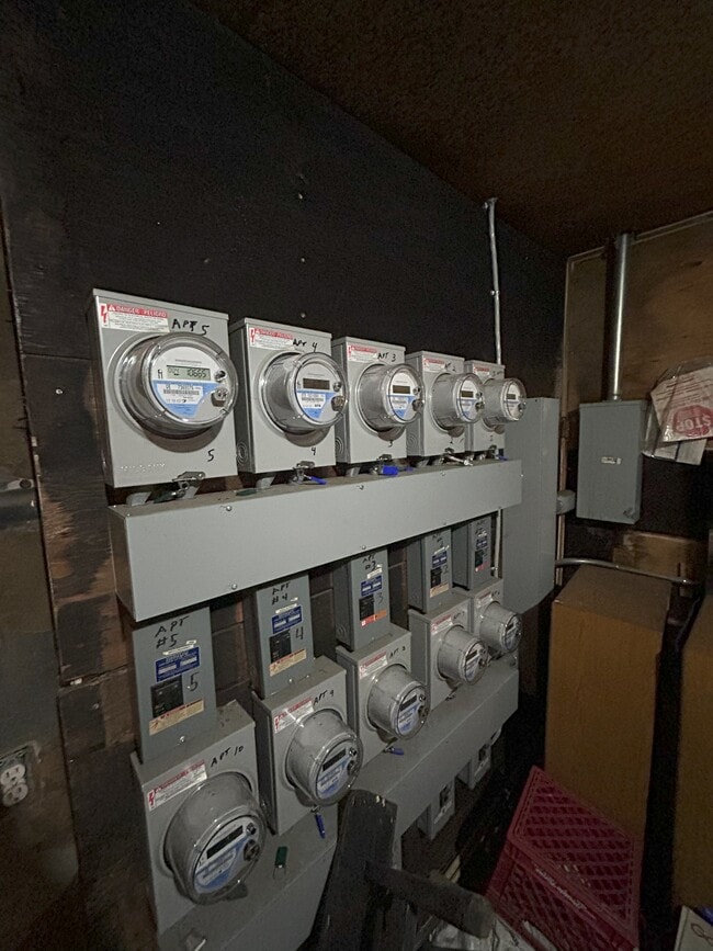
Multifamilydwelling
W MONICA 70 THRU 72 GREEN SUB L37 P31 PLATS, WCR 16/238 105 X 108
X
Wayne
26163C0100E
Michigan
2025
0.26 AC
2025
North Detroit
534100
Detroit
4,556 SF
Detroit-Warren-Dearborn, MI
DEMOGRAPHICS near 12033 Monica St
1 Mile
3 Mile
5 Mile
2024 Total Population
17,448
168,298
447,895
2029 Population
18,406
173,059
447,908
Pop Growth 2024-2029
+ 5.49%
+ 2.83%
0.00%
Average Age
40
38
37
2024 Total Households
7,370
65,199
169,219
HH Growth 2024-2029
+ 5.52%
+ 3.22%
+ 0.34%
Median Household Inc
$32,306
$31,694
$36,089
Avg Household Size
2.30
2.50
2.50
2024 Avg HH Vehicles
1.00
1.00
1.00
Median Home Value
$82,710
$79,780
$90,140
Median Year Built
1947
1947
1948
Nearby Places
Map Layers
Map Styles
 Street
 Aerial
- Restaurants
- Banks
- Shops
- Fitness
- Groceries
PUBLIC TRANSPORTATION
COMMUTER RAIL
Detroit (Wolverine - Amtrak)
DRIVE
WALK
Distance
Detroit (Wolverine - Amtrak)
10 min
5.7 mi
AIRPORT
Windsor International
DRIVE
WALK
Distance
Windsor International
32 min
17.0 mi
Detroit Metro Wayne County
DRIVE
WALK
Distance
Detroit Metro Wayne County
33 min
21.1 mi
Freight Ports
Port of Toledo
DRIVE
WALK
Distance
Port of Toledo
78 min
63.5 mi
Nearby Properties
Address
Land Use
TOTAL SIZE
Lot Size
Zoning
Address
Land Use
TOTAL SIZE
Lot Size
Zoning
266,016 SF
7.76 AC
PD
Address
Land Use
TOTAL SIZE
Lot Size
Zoning
783,976 SF
52.57 AC
M4
Address
Land Use
TOTAL SIZE
Lot Size
Zoning
171,665 SF
3.73 AC
R5
Address
Land Use
TOTAL SIZE
Lot Size
Zoning
520,522 SF
51.78 AC
M4
Address
Land Use
TOTAL SIZE
Lot Size
Zoning
590,652 SF
21.79 AC
TM
Address
Land Use
TOTAL SIZE
Lot Size
Zoning
446,500 SF
27.90 AC
Address
Land Use
TOTAL SIZE
Lot Size
Zoning
150,689 SF
4.87 AC
R5
Address
Land Use
TOTAL SIZE
Lot Size
Zoning
1,452 SF
19.24 AC
IC
Address
Land Use
TOTAL SIZE
Lot Size
Zoning
483,165 SF
22.98 AC
IB
Address
Land Use
TOTAL SIZE
Lot Size
Zoning
500,072 SF
12.50 AC
SD2
Address
Land Use
TOTAL SIZE
Lot Size
Zoning
336,958 SF
15.54 AC
IB
Address
Land Use
TOTAL SIZE
Lot Size
Zoning
63,216 SF
2.87 AC
R5
Address
Land Use
TOTAL SIZE
Lot Size
Zoning
66,870 SF
2.77 AC
Address
Land Use
TOTAL SIZE
Lot Size
Zoning
331,590 SF
18.50 AC
M4
Address
Land Use
TOTAL SIZE
Lot Size
Zoning
402,213 SF
16.50 AC
M3
Address
Land Use
TOTAL SIZE
Lot Size
Zoning
315,973 SF
12.18 AC
M4
Address
Land Use
TOTAL SIZE
Lot Size
Zoning
110,000 SF
1.36 AC
Address
Land Use
TOTAL SIZE
Lot Size
Zoning
7.10 AC
Address
Land Use
TOTAL SIZE
Lot Size
Zoning
143,100 SF
3.14 AC
IC
Address
Land Use
TOTAL SIZE
Lot Size
Zoning
75,228 SF
0.34 AC
B4
Address
Land Use
TOTAL SIZE
Lot Size
Zoning
Address
Land Use
TOTAL SIZE
Lot Size
Zoning
256,564 SF
M4
Address
Land Use
TOTAL SIZE
Lot Size
Zoning
74,029 SF
6.44 AC
B3
Address
Land Use
TOTAL SIZE
Lot Size
Zoning
68,729 SF
0.52 AC
B4
Address
Land Use
TOTAL SIZE
Lot Size
Zoning
44,442 SF
3.15 AC
PD
Address
Land Use
TOTAL SIZE
Lot Size
Zoning
46,292 SF
2.76 AC
R1
Address
Land Use
TOTAL SIZE
Lot Size
Zoning
46,560 SF
0.33 AC
R5
Address
Land Use
TOTAL SIZE
Lot Size
Zoning
17,266 SF
2 AC
IC
Address
Land Use
TOTAL SIZE
Lot Size
Zoning
122,319 SF
M4
Address
Land Use
TOTAL SIZE
Lot Size
Zoning
51,999 SF
1.14 AC
B4
The World's #1 Commercial Real Estate Marketplace
Connect with us
© 2026 CoStar Group
The information above has been obtained from sources believed reliable. While we do not doubt its accuracy we have not verified it and make no guarantee, warranty or representation about it. It is your responsibility to independently confirm its accuracy and completeness. Any projections, opinions, assumptions, or estimates used are for example only and do not represent the current or future performance of the property. The value of this transaction to you depends on tax and other factors which should be evaluated by your tax, financial, and legal advisors. You and your advisors should conduct a careful, independent investigation of the property to determine to your satisfaction the suitability of the property for your needs.