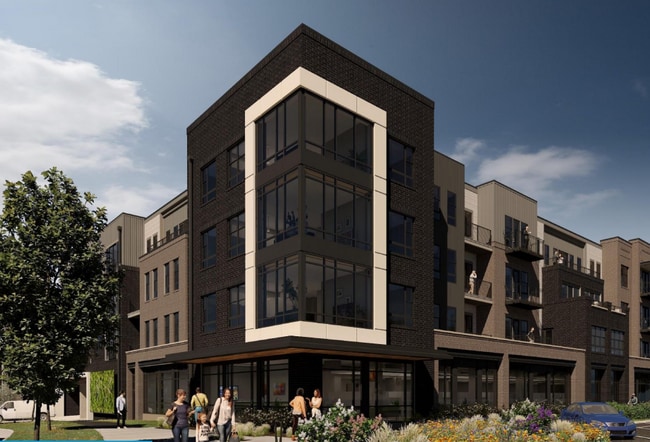
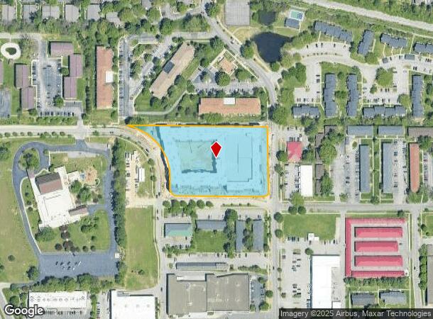
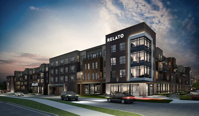
Property Record
121 N Pete Ellis Dr, Bloomington, IN 47408
NEARBY LISTINGS FOR SALE OR LEASE
Property Detail
121 N Pete Ellis Dr
Bloomington, IN
Deckard East Third Street Subdivision
53-05-35-300-043.000-005
013-11531-08 DECKARD EAST 3RD STREET LOT 8 3.20A RELATO
Apartment
Monroe
X
Indiana
18105C0161D
8
2024
3.20 AC
2024
Bloomington/Terre Haute
000903
Other Market Areas
DEMOGRAPHICS near 121 N Pete Ellis Dr
1 Mile
3 Mile
5 Mile
2024 Total Population
18,976
67,279
96,353
2029 Population
18,978
67,027
96,064
Pop Growth 2024-2029
+ 0.01%
(0.37%)
(0.30%)
Average Age
28
33
35
2024 Total Households
5,746
27,894
40,941
HH Growth 2024-2029
+ 0.30%
(0.41%)
(0.33%)
Median Household Inc
$28,052
$36,723
$43,188
Avg Household Size
1.90
2.00
2.00
2024 Avg HH Vehicles
1.00
2.00
2.00
Median Home Value
$274,631
$284,230
$254,118
Median Year Built
1980
1984
1986
Nearby Places
Map Layers
Map Styles
 Street
 Aerial
- Restaurants
- Banks
- Shops
- Fitness
- Groceries
SALE & LEASE HISTORY
LISTING DATE
SALE/LEASE

Feb 02, 2022
For Lease
Nearby Properties
Address
Land Use
TOTAL SIZE
Lot Size
Zoning
Address
Land Use
TOTAL SIZE
Lot Size
Zoning
442,250 SF
37.15 AC
Address
Land Use
TOTAL SIZE
Lot Size
Zoning
7,804 SF
7.22 AC
Address
Land Use
TOTAL SIZE
Lot Size
Zoning
496,556 SF
1.73 AC
Address
Land Use
TOTAL SIZE
Lot Size
Zoning
8,107 SF
12.37 AC
Address
Land Use
TOTAL SIZE
Lot Size
Zoning
13,910 SF
3.86 AC
Address
Land Use
TOTAL SIZE
Lot Size
Zoning
Address
Land Use
TOTAL SIZE
Lot Size
Zoning
261,278 SF
4.62 AC
Address
Land Use
TOTAL SIZE
Lot Size
Zoning
10,573 SF
3.28 AC
Address
Land Use
TOTAL SIZE
Lot Size
Zoning
8,064 SF
1.29 AC
Address
Land Use
TOTAL SIZE
Lot Size
Zoning
14,964 SF
12.34 AC
Address
Land Use
TOTAL SIZE
Lot Size
Zoning
404,051 SF
36.54 AC
Address
Land Use
TOTAL SIZE
Lot Size
Zoning
4,895 SF
16.61 AC
Address
Land Use
TOTAL SIZE
Lot Size
Zoning
169,170 SF
0.72 AC
Address
Land Use
TOTAL SIZE
Lot Size
Zoning
3,934 SF
21.23 AC
Address
Land Use
TOTAL SIZE
Lot Size
Zoning
64,687 SF
9.96 AC
Address
Land Use
TOTAL SIZE
Lot Size
Zoning
5,908 SF
19.52 AC
Address
Land Use
TOTAL SIZE
Lot Size
Zoning
134,566 SF
0.60 AC
Address
Land Use
TOTAL SIZE
Lot Size
Zoning
5,482 SF
17.05 AC
RE25
Address
Land Use
TOTAL SIZE
Lot Size
Zoning
7,500 SF
0.40 AC
Address
Land Use
TOTAL SIZE
Lot Size
Zoning
181,798 SF
0.80 AC
Address
Land Use
TOTAL SIZE
Lot Size
Zoning
32,737 SF
0.93 AC
Address
Land Use
TOTAL SIZE
Lot Size
Zoning
18,772 SF
2.69 AC
Address
Land Use
TOTAL SIZE
Lot Size
Zoning
2,000 SF
6.74 AC
Address
Land Use
TOTAL SIZE
Lot Size
Zoning
404,051 SF
25.72 AC
Address
Land Use
TOTAL SIZE
Lot Size
Zoning
17,312 SF
31.90 AC
Address
Land Use
TOTAL SIZE
Lot Size
Zoning
38,208 SF
8.03 AC
Address
Land Use
TOTAL SIZE
Lot Size
Zoning
17,016 SF
1.40 AC
Address
Land Use
TOTAL SIZE
Lot Size
Zoning
6,480 SF
10.73 AC
Address
Land Use
TOTAL SIZE
Lot Size
Zoning
9,128 SF
22.86 AC
The World's #1 Commercial Real Estate Marketplace
Connect with us
© 2026 CoStar Group
The information above has been obtained from sources believed reliable. While we do not doubt its accuracy we have not verified it and make no guarantee, warranty or representation about it. It is your responsibility to independently confirm its accuracy and completeness. Any projections, opinions, assumptions, or estimates used are for example only and do not represent the current or future performance of the property. The value of this transaction to you depends on tax and other factors which should be evaluated by your tax, financial, and legal advisors. You and your advisors should conduct a careful, independent investigation of the property to determine to your satisfaction the suitability of the property for your needs.