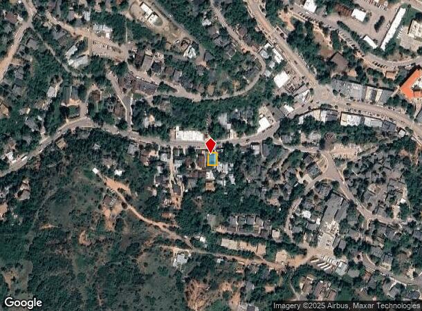
Property Record
121 Ruxton Ave, Manitou Springs, CO 80829


NEARBY LISTINGS FOR SALE OR LEASE
Property Detail
121 Ruxton Ave
Colorado Springs, CO
Manitou City Of
74053-08-012
PART OF LOT 7 BLK D MANITOU SPGS AS FOLS, BEG AT NW COR OF LOT, TH ELY ALG SLY LN OF RUXTON AVE 38.4 FT, TH IN SLY DIR PARA TO WLY LN OF LOT 56.3 FT, TH WLY 38.3 FT M/L TO WLY LN OF LOT, AT A PT 54.6 FT S OF NW COR OF LOT 7, TH IN NLY ALG WLY BDRY LN
Multifamilydwelling
El Paso
AE
Colorado
08041C0706G
7
2024
0.05 AC
2025
Southwest
006702
Colorado Springs
3,382 SF
DEMOGRAPHICS near 121 Ruxton Ave
1 Mile
3 Mile
5 Mile
2024 Total Population
2,746
10,199
49,765
2029 Population
2,878
10,657
52,168
Pop Growth 2024-2029
+ 4.81%
+ 4.49%
+ 4.83%
Average Age
44
46
44
2024 Total Households
1,449
4,945
23,139
HH Growth 2024-2029
+ 5.04%
+ 4.73%
+ 5.10%
Median Household Inc
$71,286
$76,951
$73,271
Avg Household Size
1.90
2.00
2.10
2024 Avg HH Vehicles
2.00
2.00
2.00
Median Home Value
$533,286
$487,309
$465,630
Median Year Built
1947
1961
1979
Nearby Places
Map Layers
Map Styles
 Street
 Aerial
- Restaurants
- Banks
- Shops
- Fitness
- Groceries
PUBLIC TRANSPORTATION
AIRPORT
City of Colorado Springs Municipal
DRIVE
WALK
Distance
City of Colorado Springs Municipal
32 min
16.5 mi
SALE & LEASE HISTORY
LISTING DATE
SALE/LEASE

Dec 19, 2019
For Lease
Nearby Properties
Address
Land Use
TOTAL SIZE
Lot Size
Zoning
Address
Land Use
TOTAL SIZE
Lot Size
Zoning
2,422 SF
616.19 AC
PK MX-I PD
Address
Land Use
TOTAL SIZE
Lot Size
Zoning
75,349 SF
27.75 AC
EPC
Address
Land Use
TOTAL SIZE
Lot Size
Zoning
4.78 AC
R-T
Address
Land Use
TOTAL SIZE
Lot Size
Zoning
20,147 SF
38.98 AC
PK HS
Address
Land Use
TOTAL SIZE
Lot Size
Zoning
127.25 AC
PK HS
Address
Land Use
TOTAL SIZE
Lot Size
Zoning
34,296 SF
0.85 AC
Address
Land Use
TOTAL SIZE
Lot Size
Zoning
3,058 SF
28.22 AC
HLDR
Address
Land Use
TOTAL SIZE
Lot Size
Zoning
4,062 SF
355.88 AC
PK HS
Address
Land Use
TOTAL SIZE
Lot Size
Zoning
15,964 SF
6.04 AC
R-2 HS CU
Address
Land Use
TOTAL SIZE
Lot Size
Zoning
24,433 SF
1.69 AC
R-1 6
Address
Land Use
TOTAL SIZE
Lot Size
Zoning
925 SF
3.55 AC
R-T
Address
Land Use
TOTAL SIZE
Lot Size
Zoning
38,885 SF
5.82 AC
R-1 6
Address
Land Use
TOTAL SIZE
Lot Size
Zoning
6,899 SF
2.77 AC
R-2 HS CU
Address
Land Use
TOTAL SIZE
Lot Size
Zoning
7,364 SF
0.34 AC
C
Address
Land Use
TOTAL SIZE
Lot Size
Zoning
72,616 SF
4.79 AC
BP HS CU
Address
Land Use
TOTAL SIZE
Lot Size
Zoning
625 SF
2.42 AC
GR
Address
Land Use
TOTAL SIZE
Lot Size
Zoning
21,989 SF
0.79 AC
Address
Land Use
TOTAL SIZE
Lot Size
Zoning
171.67 AC
PK
Address
Land Use
TOTAL SIZE
Lot Size
Zoning
30,532 SF
17.08 AC
GR
Address
Land Use
TOTAL SIZE
Lot Size
Zoning
14,248 SF
0.93 AC
C
Address
Land Use
TOTAL SIZE
Lot Size
Zoning
11,452 SF
2.12 AC
R-5 HS
Address
Land Use
TOTAL SIZE
Lot Size
Zoning
54,398 SF
1.20 AC
Address
Land Use
TOTAL SIZE
Lot Size
Zoning
122.07 AC
PK
Address
Land Use
TOTAL SIZE
Lot Size
Zoning
36,745 SF
0.95 AC
Address
Land Use
TOTAL SIZE
Lot Size
Zoning
254 SF
4.74 AC
Address
Land Use
TOTAL SIZE
Lot Size
Zoning
50.72 AC
PK HS
Address
Land Use
TOTAL SIZE
Lot Size
Zoning
625 SF
0.37 AC
R-E HS
Address
Land Use
TOTAL SIZE
Lot Size
Zoning
8,272 SF
0.85 AC
R-1 6 CU
Address
Land Use
TOTAL SIZE
Lot Size
Zoning
57,559 SF
5.09 AC
MX-M P
Address
Land Use
TOTAL SIZE
Lot Size
Zoning
13,987 SF
0.74 AC
The World's #1 Commercial Real Estate Marketplace
Connect with us
© 2025 CoStar Group
The information above has been obtained from sources believed reliable. While we do not doubt its accuracy we have not verified it and make no guarantee, warranty or representation about it. It is your responsibility to independently confirm its accuracy and completeness. Any projections, opinions, assumptions, or estimates used are for example only and do not represent the current or future performance of the property. The value of this transaction to you depends on tax and other factors which should be evaluated by your tax, financial, and legal advisors. You and your advisors should conduct a careful, independent investigation of the property to determine to your satisfaction the suitability of the property for your needs.