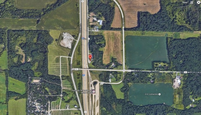
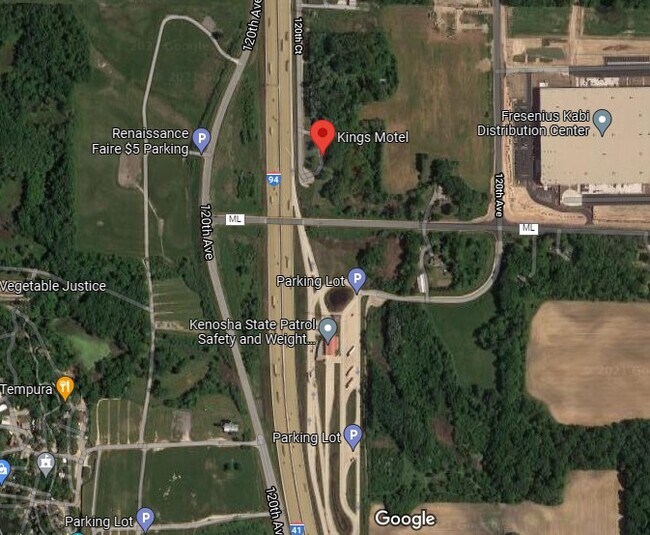
Property Record
12101 120Th Ct, Pleasant Prairie, WI 53158

NEARBY LISTINGS FOR SALE OR LEASE
Property Detail
12101 120Th Ct
92-4-122-312-0206
PT NW 1/4 SEC 31 T1 R22 COM 582.32 FT E OF SW COR SD 1/4 SEC THC N 60.11 FT TO N'LY LN HWY ML & POB CONTINUE N 611.58 FT THC
Commercialnec
Kenosha
X
Wisconsin
55059C0189D
0
2024
5.82 AC
2024
Kenosha East
002605
Chicago
1,062 SF
Kenosha, WI
DEMOGRAPHICS near 12101 120Th Ct
1 Mile
3 Mile
5 Mile
2024 Total Population
292
1,454
27,130
2029 Population
293
1,442
27,064
Pop Growth 2024-2029
+ 0.34%
(0.83%)
(0.24%)
Average Age
37
41
40
2024 Total Households
130
596
10,225
HH Growth 2024-2029
0.00%
(0.67%)
(0.23%)
Median Household Inc
$74,999
$86,684
$93,117
Avg Household Size
2.20
2.40
2.60
2024 Avg HH Vehicles
2.00
2.00
2.00
Median Home Value
$331,250
$379,333
$291,658
Median Year Built
1991
1990
1997
Nearby Places
Map Layers
Map Styles
 Street
 Aerial
- Restaurants
- Banks
- Shops
- Fitness
- Groceries
PUBLIC TRANSPORTATION
COMMUTER RAIL
Antioch Station (North Central Service - Northeast Illinois Regional Commuter Railroad (Metra))
DRIVE
WALK
Distance
Antioch Station (North Central Service - Northeast Illinois Regional Commuter Railroad (Metra))
17 min
10.0 mi
Freight Ports
Port Milwaukee
DRIVE
WALK
Distance
Port Milwaukee
46 min
36.8 mi
SALE & LEASE HISTORY
LISTING DATE
SALE/LEASE

Sep 24, 2016
For Sale
Jun 12, 2023
For Sale
Nearby Properties
Address
Land Use
TOTAL SIZE
Lot Size
Zoning
Address
Land Use
TOTAL SIZE
Lot Size
Zoning
1,083,094 SF
230.85 AC
Address
Land Use
TOTAL SIZE
Lot Size
Zoning
159,194 SF
136.60 AC
Address
Land Use
TOTAL SIZE
Lot Size
Zoning
75,755 SF
19.27 AC
Address
Land Use
TOTAL SIZE
Lot Size
Zoning
51,119 SF
63.71 AC
Address
Land Use
TOTAL SIZE
Lot Size
Zoning
12.53 AC
Address
Land Use
TOTAL SIZE
Lot Size
Zoning
458,709 SF
36.04 AC
Address
Land Use
TOTAL SIZE
Lot Size
Zoning
108,727 SF
67.52 AC
Address
Land Use
TOTAL SIZE
Lot Size
Zoning
590,185 SF
46.90 AC
Address
Land Use
TOTAL SIZE
Lot Size
Zoning
301,652 SF
43.52 AC
Address
Land Use
TOTAL SIZE
Lot Size
Zoning
519,602 SF
28.36 AC
Address
Land Use
TOTAL SIZE
Lot Size
Zoning
38,201 SF
16 AC
Address
Land Use
TOTAL SIZE
Lot Size
Zoning
502,033 SF
28.13 AC
Address
Land Use
TOTAL SIZE
Lot Size
Zoning
451,756 SF
30.06 AC
Address
Land Use
TOTAL SIZE
Lot Size
Zoning
534,436 SF
35.50 AC
Address
Land Use
TOTAL SIZE
Lot Size
Zoning
418,133 SF
26.21 AC
Address
Land Use
TOTAL SIZE
Lot Size
Zoning
250,110 SF
17.13 AC
Address
Land Use
TOTAL SIZE
Lot Size
Zoning
40.09 AC
Address
Land Use
TOTAL SIZE
Lot Size
Zoning
410,694 SF
25.36 AC
Address
Land Use
TOTAL SIZE
Lot Size
Zoning
12,794 SF
16.75 AC
Address
Land Use
TOTAL SIZE
Lot Size
Zoning
77,776 SF
36.16 AC
Address
Land Use
TOTAL SIZE
Lot Size
Zoning
377,582 SF
28.48 AC
Address
Land Use
TOTAL SIZE
Lot Size
Zoning
27.77 AC
Address
Land Use
TOTAL SIZE
Lot Size
Zoning
418,036 SF
25.33 AC
Address
Land Use
TOTAL SIZE
Lot Size
Zoning
447,200 SF
23.50 AC
Address
Land Use
TOTAL SIZE
Lot Size
Zoning
396,508 SF
21.72 AC
Address
Land Use
TOTAL SIZE
Lot Size
Zoning
302,500 SF
23.89 AC
Address
Land Use
TOTAL SIZE
Lot Size
Zoning
193,366 SF
11.63 AC
Address
Land Use
TOTAL SIZE
Lot Size
Zoning
194,611 SF
16.67 AC
Address
Land Use
TOTAL SIZE
Lot Size
Zoning
21.62 AC
Address
Land Use
TOTAL SIZE
Lot Size
Zoning
314,505 SF
19.30 AC
The World's #1 Commercial Real Estate Marketplace
Connect with us
© 2026 CoStar Group
The information above has been obtained from sources believed reliable. While we do not doubt its accuracy we have not verified it and make no guarantee, warranty or representation about it. It is your responsibility to independently confirm its accuracy and completeness. Any projections, opinions, assumptions, or estimates used are for example only and do not represent the current or future performance of the property. The value of this transaction to you depends on tax and other factors which should be evaluated by your tax, financial, and legal advisors. You and your advisors should conduct a careful, independent investigation of the property to determine to your satisfaction the suitability of the property for your needs.