Property Record
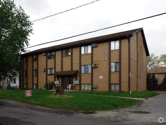
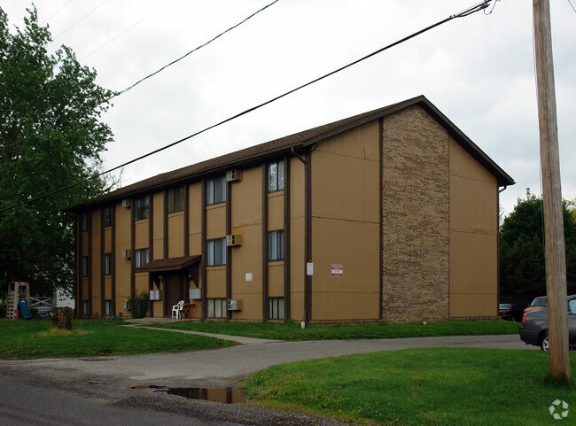
1217 Vanderbilt Rd, Toledo, OH 43615


Property Detail
1217 Vanderbilt Rd
20-26153
INVERNESS SUBURBAN ACRES LOT 2 S 130 FT
Apartment
LUCAS
10-RM36
Ohio
B and X Area of moderate flood hazard, usually the area between the limits of the 100-year and 500-year floods.
2
0
0.36 AC
2025
Reynolds Corners
008601
Toledo
8,640 SF
Toledo, OH
NEARBY LISTINGS FOR SALE OR LEASE
-
-
View all Toledo listings for sale on LoopNet.com
DEMOGRAPHICS near 1217 Vanderbilt Rd
1 mile
3 mile
5 mile
2025 Total Population
9,258
63,774
181,055
2030 Population
9,232
63,182
178,633
Pop Growth 2025-2030
(0.28%)
(0.93%)
(1.34%)
Average Age
43
41
41
2025 Total Households
4,470
27,978
79,102
HH Growth 2025-2030
(0.34%)
(0.81%)
(1.27%)
Median Household Inc
$64,051
$67,018
$66,619
Avg Household Size
2.00
2.20
2.20
2025 Avg HH Vehicles
2.00
2.00
2.00
Median Home Value
$143,391
$190,313
$190,749
Median Year Built
1972
1976
1971
Nearby Places
Map Layers
Map Styles
 Street
 Aerial
Layers
 Traffic
 Biking
Places
Listings with unknown addresses are not visible on the map
- Restaurants
- Banks
- Shops
- Fitness
- Groceries
PUBLIC TRANSPORTATION
COMMUTER RAIL
Toledo (Capitol Limited - Amtrak, Lake Shore Limited - Amtrak)
Drive
Walk
Distance
Toledo (Capitol Limited - Amtrak, Lake Shore Limited - Amtrak)
16 min
8.8 mi
AIRPORT
Eugene F Kranz Toledo Express
Drive
Walk
Distance
Eugene F Kranz Toledo Express
29 min
14.2 mi
Freight Ports
Port of Toledo
Drive
Walk
Distance
Port of Toledo
28 min
13.1 mi
Nearby Properties
Address
Land Use
TOTAL SIZE
Lot Size
Zoning
Address
Land Use
TOTAL SIZE
Lot Size
Zoning
329,064 SF
69.74 AC
10-RS6
Address
Land Use
TOTAL SIZE
Lot Size
Zoning
173,943 SF
59.70 AC
10-IP
Address
Land Use
TOTAL SIZE
Lot Size
Zoning
186,190 SF
14 AC
19-C2
Address
Land Use
TOTAL SIZE
Lot Size
Zoning
275,113 SF
21 AC
10-MX
Address
Land Use
TOTAL SIZE
Lot Size
Zoning
211,140 SF
28.92 AC
10-IC
Address
Land Use
TOTAL SIZE
Lot Size
Zoning
209,351 SF
49.06 AC
31-R1
Address
Land Use
TOTAL SIZE
Lot Size
Zoning
141,643 SF
14.31 AC
10-RS9
Address
Land Use
TOTAL SIZE
Lot Size
Zoning
51,129 SF
460.05 AC
20-S1
Address
Land Use
TOTAL SIZE
Lot Size
Zoning
212,664 SF
21.43 AC
24-B3
Address
Land Use
TOTAL SIZE
Lot Size
Zoning
203,839 SF
16.39 AC
24-SUP
Address
Land Use
TOTAL SIZE
Lot Size
Zoning
169,580 SF
8.98 AC
20-C2
Address
Land Use
TOTAL SIZE
Lot Size
Zoning
67,713 SF
10.24 AC
20-C2
Address
Land Use
TOTAL SIZE
Lot Size
Zoning
59 AC
10-IP
Address
Land Use
TOTAL SIZE
Lot Size
Zoning
217,992 SF
39.78 AC
20-C2
Address
Land Use
TOTAL SIZE
Lot Size
Zoning
203,129 SF
10 AC
10-RS9
Address
Land Use
TOTAL SIZE
Lot Size
Zoning
137,081 SF
12 AC
20-C2
Address
Land Use
TOTAL SIZE
Lot Size
Zoning
111,195 SF
13.64 AC
19-C2
Address
Land Use
TOTAL SIZE
Lot Size
Zoning
214,400 SF
13.07 AC
20-C2
Address
Land Use
TOTAL SIZE
Lot Size
Zoning
131,201 SF
10 AC
10-CUP
Address
Land Use
TOTAL SIZE
Lot Size
Zoning
90,782 SF
18.24 AC
20-RA
Address
Land Use
TOTAL SIZE
Lot Size
Zoning
102,516 SF
0.85 AC
10-CR
Address
Land Use
TOTAL SIZE
Lot Size
Zoning
126,732 SF
15 AC
10-CRSO
Address
Land Use
TOTAL SIZE
Lot Size
Zoning
140,008 SF
10 AC
19-R3
Address
Land Use
TOTAL SIZE
Lot Size
Zoning
63,445 SF
5.72 AC
20-C4
Address
Land Use
TOTAL SIZE
Lot Size
Zoning
243,247 SF
11.66 AC
20-R5PUD
Address
Land Use
TOTAL SIZE
Lot Size
Zoning
36,153 SF
4.43 AC
20-C2
Address
Land Use
TOTAL SIZE
Lot Size
Zoning
113,835 SF
216.19 AC
10-RS6
Address
Land Use
TOTAL SIZE
Lot Size
Zoning
218,603 SF
18 AC
10-MX
Address
Land Use
TOTAL SIZE
Lot Size
Zoning
199,084 SF
19.79 AC
12-A2
Address
Land Use
TOTAL SIZE
Lot Size
Zoning
60,805 SF
9.38 AC
10-RS12
The World's #1 Commercial Real Estate Marketplace
Connect with us
© 2026 CoStar Group
The information above has been obtained from sources believed reliable. While we do not doubt its accuracy we have not verified it and make no guarantee, warranty or representation about it. It is your responsibility to independently confirm its accuracy and completeness. Any projections, opinions, assumptions, or estimates used are for example only and do not represent the current or future performance of the property. The value of this transaction to you depends on tax and other factors which should be evaluated by your tax, financial, and legal advisors. You and your advisors should conduct a careful, independent investigation of the property to determine to your satisfaction the suitability of the property for your needs.