Property Record
12184 Highway 478, Mesquite, NM 88048
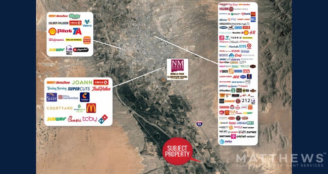
NEARBY LISTINGS FOR SALE OR LEASE
-
-
View all Mesquite listings for sale on LoopNet.com
Property Detail
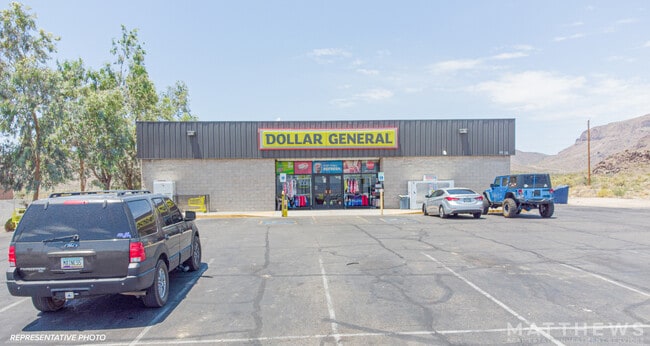
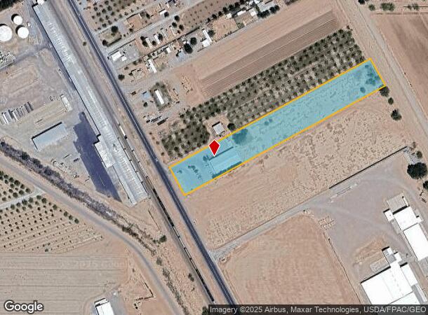
12184 Highway 478
17-17077
Usrs Tr 17-108B
Commercialacreage
S: 1 T: 25S R: 2E USRS 17-108B PT OF, INSTRUMENT #2225957
X
Dona Ana
35013C1325G
New Mexico
2024
3.71 AC
2025
Las Cruces/Alamogordo
001813
Other Market Areas
9,301 SF
Las Cruces, NM
DEMOGRAPHICS near 12184 Highway 478
1 Mile
3 Mile
5 Mile
2024 Total Population
737
4,644
7,009
2029 Population
726
4,560
6,910
Pop Growth 2024-2029
(1.49%)
(1.81%)
(1.41%)
Average Age
37
38
38
2024 Total Households
253
1,556
2,350
HH Growth 2024-2029
(1.19%)
(1.67%)
(1.23%)
Median Household Inc
$44,422
$43,317
$41,907
Avg Household Size
2.80
2.90
2.90
2024 Avg HH Vehicles
2.00
2.00
2.00
Median Home Value
$77,380
$98,171
$123,721
Median Year Built
1995
1989
1988
Nearby Places
Map Layers
Map Styles
 Street
 Aerial
- Restaurants
- Banks
- Shops
- Fitness
- Groceries
PUBLIC TRANSPORTATION
AIRPORT
El Paso International
DRIVE
WALK
Distance
El Paso International
62 min
42.9 mi
SALE & LEASE HISTORY
LISTING DATE
SALE/LEASE

Mar 14, 2022
For Sale
Nearby Properties
Address
Land Use
TOTAL SIZE
Lot Size
Zoning
Address
Land Use
TOTAL SIZE
Lot Size
Zoning
288,487 SF
575.79 AC
T2
Address
Land Use
TOTAL SIZE
Lot Size
Zoning
30,440 SF
9.25 AC
C2
Address
Land Use
TOTAL SIZE
Lot Size
Zoning
66,599 SF
19.26 AC
I1
Address
Land Use
TOTAL SIZE
Lot Size
Zoning
23,489 SF
73 AC
T2
Address
Land Use
TOTAL SIZE
Lot Size
Zoning
57,205 SF
4.66 AC
I2
Address
Land Use
TOTAL SIZE
Lot Size
Zoning
20,200 SF
7.50 AC
A2
Address
Land Use
TOTAL SIZE
Lot Size
Zoning
33,300 SF
5.59 AC
C2
Address
Land Use
TOTAL SIZE
Lot Size
Zoning
30,471 SF
10.87 AC
I3
Address
Land Use
TOTAL SIZE
Lot Size
Zoning
10,162 SF
5 AC
T2
Address
Land Use
TOTAL SIZE
Lot Size
Zoning
6,186 SF
0.90 AC
T5
Address
Land Use
TOTAL SIZE
Lot Size
Zoning
4,816 SF
0.40 AC
T4
Address
Land Use
TOTAL SIZE
Lot Size
Zoning
10,842 SF
0.91 AC
T5
Address
Land Use
TOTAL SIZE
Lot Size
Zoning
12,220 SF
1.87 AC
T4
Address
Land Use
TOTAL SIZE
Lot Size
Zoning
228,497 SF
72.86 AC
I2
Address
Land Use
TOTAL SIZE
Lot Size
Zoning
3,775 SF
2.02 AC
T2
Address
Land Use
TOTAL SIZE
Lot Size
Zoning
5,000 SF
388.90 AC
I3
Address
Land Use
TOTAL SIZE
Lot Size
Zoning
2,820 SF
2.92 AC
T2
Address
Land Use
TOTAL SIZE
Lot Size
Zoning
7,258 SF
333.90 AC
T2
Address
Land Use
TOTAL SIZE
Lot Size
Zoning
5,053 SF
1 AC
T4
Address
Land Use
TOTAL SIZE
Lot Size
Zoning
2,820 SF
1.69 AC
T2
Address
Land Use
TOTAL SIZE
Lot Size
Zoning
11,249 SF
0.99 AC
T5
Address
Land Use
TOTAL SIZE
Lot Size
Zoning
3,500 SF
1.48 AC
T5
Address
Land Use
TOTAL SIZE
Lot Size
Zoning
2,603 SF
7.31 AC
T2
Address
Land Use
TOTAL SIZE
Lot Size
Zoning
3,112 SF
4.87 AC
T3
Address
Land Use
TOTAL SIZE
Lot Size
Zoning
2,749 SF
2.64 AC
T3
Address
Land Use
TOTAL SIZE
Lot Size
Zoning
2,971 SF
6.35 AC
T3
Address
Land Use
TOTAL SIZE
Lot Size
Zoning
16,500 SF
1 AC
T3
Address
Land Use
TOTAL SIZE
Lot Size
Zoning
1,458 SF
325 AC
T2
Address
Land Use
TOTAL SIZE
Lot Size
Zoning
10,485 SF
9.31 AC
I2
The World's #1 Commercial Real Estate Marketplace
Connect with us
© 2026 CoStar Group
The information above has been obtained from sources believed reliable. While we do not doubt its accuracy we have not verified it and make no guarantee, warranty or representation about it. It is your responsibility to independently confirm its accuracy and completeness. Any projections, opinions, assumptions, or estimates used are for example only and do not represent the current or future performance of the property. The value of this transaction to you depends on tax and other factors which should be evaluated by your tax, financial, and legal advisors. You and your advisors should conduct a careful, independent investigation of the property to determine to your satisfaction the suitability of the property for your needs.