Property Record
12191 State Highway 64 E, Tyler, TX 75707


Current Lease Availabilities
NEARBY LISTINGS FOR SALE OR LEASE
-
-
View all Tyler listings for lease on LoopNet.com
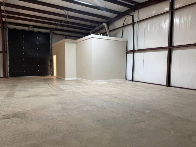
Property Detail
12191 State Highway 64 E
Tyler, TX
A0869 E Smith
1-00000-0869-00-028000
Smith
Sfr
Texas
X
1 AC
48423C0380D
Tyler & Longview
1,902 SF
Other Market Areas
DEMOGRAPHICS near 12191 State Highway 64 E
1 Mile
3 Mile
5 Mile
2024 Total Population
1,353
13,205
48,110
2029 Population
1,476
14,605
52,171
Pop Growth 2024-2029
+ 9.09%
+ 10.60%
+ 8.44%
Average Age
42
39
38
2024 Total Households
547
5,320
18,702
HH Growth 2024-2029
+ 8.59%
+ 10.58%
+ 8.03%
Median Household Inc
$63,524
$69,391
$63,904
Avg Household Size
2.40
2.30
2.40
2024 Avg HH Vehicles
2.00
2.00
2.00
Median Home Value
$193,014
$191,513
$185,028
Median Year Built
1978
1991
1983
Nearby Places
Map Layers
Map Styles
 Street
 Aerial
- Restaurants
- Banks
- Shops
- Fitness
- Groceries
PUBLIC TRANSPORTATION
AIRPORT
Tyler Pounds Regional
DRIVE
WALK
Distance
Tyler Pounds Regional
25 min
14.3 mi
Freight Ports
Port of Shreveport
DRIVE
WALK
Distance
Port of Shreveport
126 min
110.2 mi
Nearby Properties
Address
Land Use
TOTAL SIZE
Lot Size
Zoning
Address
Land Use
TOTAL SIZE
Lot Size
Zoning
22,500 SF
214.44 AC
R1A
Address
Land Use
TOTAL SIZE
Lot Size
Zoning
3,052 SF
9.20 AC
PMF
Address
Land Use
TOTAL SIZE
Lot Size
Zoning
8,279 SF
14.06 AC
RMF
Address
Land Use
TOTAL SIZE
Lot Size
Zoning
2,676 SF
8.28 AC
RMF
Address
Land Use
TOTAL SIZE
Lot Size
Zoning
2,499 SF
7.77 AC
RMF
Address
Land Use
TOTAL SIZE
Lot Size
Zoning
8,390 SF
12.79 AC
RMF
Address
Land Use
TOTAL SIZE
Lot Size
Zoning
76,216 SF
14.70 AC
PMF
Address
Land Use
TOTAL SIZE
Lot Size
Zoning
27,520 SF
5.91 AC
RMF
Address
Land Use
TOTAL SIZE
Lot Size
Zoning
39.67 AC
Address
Land Use
TOTAL SIZE
Lot Size
Zoning
61,500 SF
82.50 AC
Address
Land Use
TOTAL SIZE
Lot Size
Zoning
4,781 SF
6.32 AC
RMF
Address
Land Use
TOTAL SIZE
Lot Size
Zoning
22.03 AC
R1A
Address
Land Use
TOTAL SIZE
Lot Size
Zoning
1,925 SF
6.78 AC
RMF
Address
Land Use
TOTAL SIZE
Lot Size
Zoning
65,248 SF
21.82 AC
Address
Land Use
TOTAL SIZE
Lot Size
Zoning
13,984 SF
37.24 AC
C2
Address
Land Use
TOTAL SIZE
Lot Size
Zoning
22.62 AC
RMF
Address
Land Use
TOTAL SIZE
Lot Size
Zoning
14.99 AC
C1
Address
Land Use
TOTAL SIZE
Lot Size
Zoning
28.45 AC
Address
Land Use
TOTAL SIZE
Lot Size
Zoning
18.01 AC
Address
Land Use
TOTAL SIZE
Lot Size
Zoning
20,634 SF
2 AC
Address
Land Use
TOTAL SIZE
Lot Size
Zoning
82,793 SF
1.94 AC
C2
Address
Land Use
TOTAL SIZE
Lot Size
Zoning
8.44 AC
R1A
Address
Land Use
TOTAL SIZE
Lot Size
Zoning
9,118 SF
2.18 AC
RMF
Address
Land Use
TOTAL SIZE
Lot Size
Zoning
6,450 SF
5.15 AC
Address
Land Use
TOTAL SIZE
Lot Size
Zoning
14,786 SF
1.70 AC
C1
Address
Land Use
TOTAL SIZE
Lot Size
Zoning
88,466 SF
11.30 AC
Address
Land Use
TOTAL SIZE
Lot Size
Zoning
8,454 SF
2.54 AC
Address
Land Use
TOTAL SIZE
Lot Size
Zoning
16.99 AC
Address
Land Use
TOTAL SIZE
Lot Size
Zoning
25,000 SF
6.45 AC
PUR
Address
Land Use
TOTAL SIZE
Lot Size
Zoning
22,500 SF
5.16 AC
The World's #1 Commercial Real Estate Marketplace
Connect with us
© 2025 CoStar Group
The information above has been obtained from sources believed reliable. While we do not doubt its accuracy we have not verified it and make no guarantee, warranty or representation about it. It is your responsibility to independently confirm its accuracy and completeness. Any projections, opinions, assumptions, or estimates used are for example only and do not represent the current or future performance of the property. The value of this transaction to you depends on tax and other factors which should be evaluated by your tax, financial, and legal advisors. You and your advisors should conduct a careful, independent investigation of the property to determine to your satisfaction the suitability of the property for your needs.