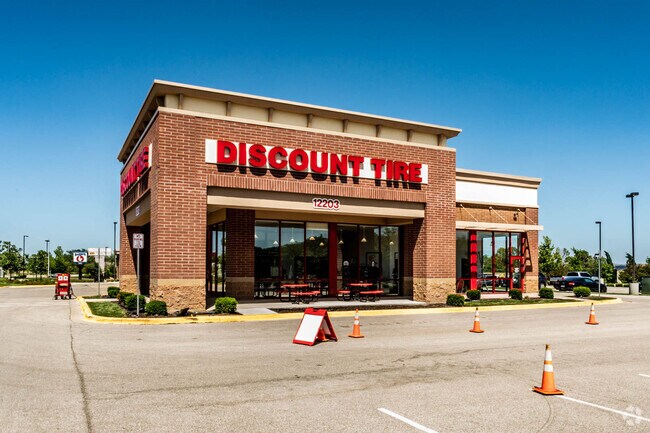
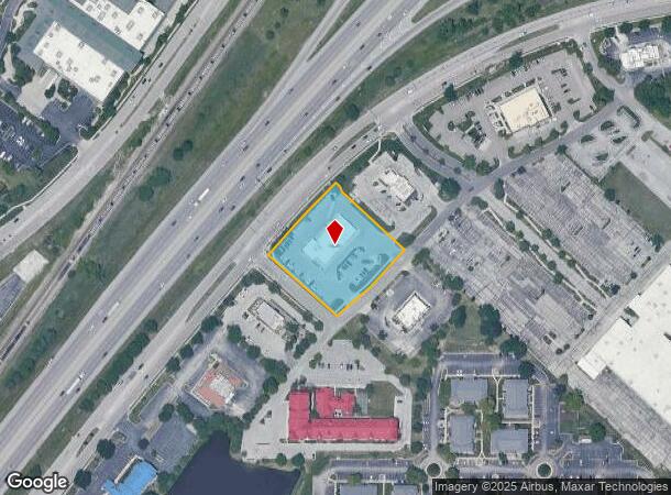
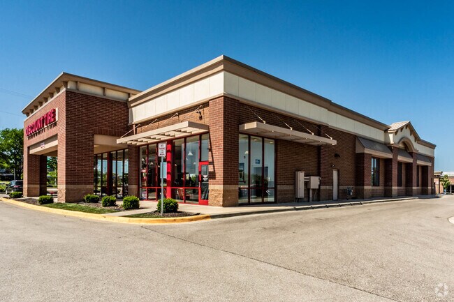
Property Record
12203 S Strang Line Rd, Olathe, KS 66062
NEARBY LISTINGS FOR SALE OR LEASE
Property Detail
12203 S Strang Line Rd
Kansas City, MO-KS
Saratoga
DP68130000-0001
SARATOGA LT 1
Servicestation
Johnson
X
Kansas
20091C0065G
1
2024
1.60 AC
2024
South Johnson County
052907
Kansas City
7,680 SF
DEMOGRAPHICS near 12203 S Strang Line Rd
1 mile
3 mile
5 mile
2024 Total Population
10,519
81,190
222,119
2029 Population
10,910
84,355
230,745
Pop Growth 2024-2029
+ 3.72%
+ 3.90%
+ 3.88%
Average Age
35
38
39
2024 Total Households
4,137
32,010
85,831
HH Growth 2024-2029
+ 3.82%
+ 4.00%
+ 4.00%
Median Household Inc
$66,299
$85,469
$95,052
Avg Household Size
2.40
2.40
2.50
2024 Avg HH Vehicles
2.00
2.00
2.00
Median Home Value
$219,565
$289,007
$313,650
Median Year Built
1987
1991
1991
Nearby Places
Map Layers
Map Styles
 Street
 Aerial
Transit
 Traffic
 Biking
Places
Listings with unknown addresses are not visible on the map
- Restaurants
- Banks
- Shops
- Fitness
- Groceries
PUBLIC TRANSPORTATION
AIRPORT
Kansas City International
Drive
Walk
Distance
Kansas City International
46 min
35.7 mi
SALE & LEASE HISTORY
LISTING DATE
SALE/LEASE

Sep 23, 2016
For Sale
Nearby Properties
Address
Land Use
TOTAL SIZE
Lot Size
Zoning
Address
Land Use
TOTAL SIZE
Lot Size
Zoning
1,051,458 SF
74.32 AC
R-1
Address
Land Use
TOTAL SIZE
Lot Size
Zoning
312,726 SF
13.73 AC
RP-4
Address
Land Use
TOTAL SIZE
Lot Size
Zoning
307,761 SF
6.59 AC
C-2
Address
Land Use
TOTAL SIZE
Lot Size
Zoning
482,713 SF
77.78 AC
AG
Address
Land Use
TOTAL SIZE
Lot Size
Zoning
162,499 SF
38.74 AC
R-1
Address
Land Use
TOTAL SIZE
Lot Size
Zoning
247,991 SF
21.19 AC
R-1
Address
Land Use
TOTAL SIZE
Lot Size
Zoning
456,742 SF
27.31 AC
R-1
Address
Land Use
TOTAL SIZE
Lot Size
Zoning
97,340 SF
1.82 AC
C-2
Address
Land Use
TOTAL SIZE
Lot Size
Zoning
211,054 SF
77.48 AC
R-1
Address
Land Use
TOTAL SIZE
Lot Size
Zoning
88,459 SF
15.13 AC
R-1
Address
Land Use
TOTAL SIZE
Lot Size
Zoning
323,377 SF
15.55 AC
R-1
Address
Land Use
TOTAL SIZE
Lot Size
Zoning
211,785 SF
35.56 AC
RP-3
Address
Land Use
TOTAL SIZE
Lot Size
Zoning
19,460 SF
9.12 AC
R-1
Address
Land Use
TOTAL SIZE
Lot Size
Zoning
635,676 SF
30.59 AC
BP2
Address
Land Use
TOTAL SIZE
Lot Size
Zoning
564,948 SF
27.40 AC
AG
Address
Land Use
TOTAL SIZE
Lot Size
Zoning
606,171 SF
31 AC
BP2
Address
Land Use
TOTAL SIZE
Lot Size
Zoning
66,664 SF
2.94 AC
C-2
Address
Land Use
TOTAL SIZE
Lot Size
Zoning
202,726 SF
9.37 AC
R-1
Address
Land Use
TOTAL SIZE
Lot Size
Zoning
40,647 SF
7.40 AC
R-4
Address
Land Use
TOTAL SIZE
Lot Size
Zoning
189,226 SF
29.81 AC
R-1
Address
Land Use
TOTAL SIZE
Lot Size
Zoning
251,981 SF
10.79 AC
R-5
Address
Land Use
TOTAL SIZE
Lot Size
Zoning
144,755 SF
22.19 AC
BP2
Address
Land Use
TOTAL SIZE
Lot Size
Zoning
129,325 SF
4.50 AC
R-1
Address
Land Use
TOTAL SIZE
Lot Size
Zoning
135,551 SF
12.36 AC
R-1
Address
Land Use
TOTAL SIZE
Lot Size
Zoning
404,388 SF
21.55 AC
BP2
Address
Land Use
TOTAL SIZE
Lot Size
Zoning
89,226 SF
4.37 AC
R-1
Address
Land Use
TOTAL SIZE
Lot Size
Zoning
107,857 SF
10.94 AC
C-2
Address
Land Use
TOTAL SIZE
Lot Size
Zoning
222,396 SF
14.76 AC
BP2
Address
Land Use
TOTAL SIZE
Lot Size
Zoning
146,832 SF
30 AC
R-1
Address
Land Use
TOTAL SIZE
Lot Size
Zoning
53,359 SF
41.55 AC
R-1
The World's #1 Commercial Real Estate Marketplace
Connect with us
© 2026 CoStar Group
The information above has been obtained from sources believed reliable. While we do not doubt its accuracy we have not verified it and make no guarantee, warranty or representation about it. It is your responsibility to independently confirm its accuracy and completeness. Any projections, opinions, assumptions, or estimates used are for example only and do not represent the current or future performance of the property. The value of this transaction to you depends on tax and other factors which should be evaluated by your tax, financial, and legal advisors. You and your advisors should conduct a careful, independent investigation of the property to determine to your satisfaction the suitability of the property for your needs.