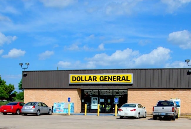
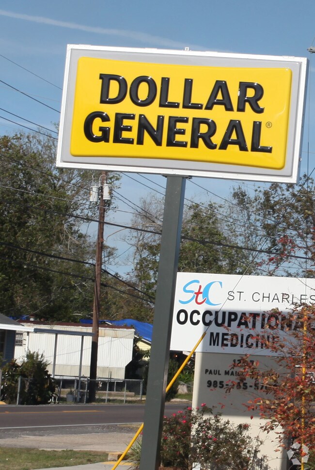
Property Record
1221 Paul Maillard Rd, Luling, LA 70070

Property Detail
1221 Paul Maillard Rd
New Orleans-Metairie, LA
PLOT A-5, DAVID PARK SUBD. MEAS. 137.20' X 317.49' BEING A PORT. OF ELLINGTON PLTN. (DOLLAR GENERAL STORE)
25170A5000A5
ST CHARLES
Storebuilding
Louisiana
2025
a5
2025
1 AC
062900
St Charles Parish
9,110 SF
New Orleans/Metairie/Kenner
NEARBY LISTINGS FOR SALE OR LEASE
DEMOGRAPHICS near 1221 Paul Maillard Rd
1 mile
3 mile
5 mile
2025 Total Population
4,208
20,158
36,767
2030 Population
4,033
19,352
35,302
Pop Growth 2025-2030
(4.16%)
(4.00%)
(3.98%)
Average Age
38
39
40
2025 Total Households
1,489
7,246
13,518
HH Growth 2025-2030
(4.37%)
(4.02%)
(3.98%)
Median Household Inc
$64,370
$80,416
$79,621
Avg Household Size
2.70
2.70
2.70
2025 Avg HH Vehicles
2.00
2.00
2.00
Median Home Value
$257,608
$289,039
$279,528
Median Year Built
1990
1985
1984
Nearby Places
Map Layers
Map Styles
 Street
 Aerial
Layers
 Traffic
 Biking
Places
Listings with unknown addresses are not visible on the map
- Restaurants
- Banks
- Shops
- Fitness
- Groceries
PUBLIC TRANSPORTATION
AIRPORT
Louis Armstrong New Orleans International
Drive
Walk
Distance
Louis Armstrong New Orleans International
19 min
12.3 mi
Freight Ports
Port of New Orleans
Drive
Walk
Distance
Port of New Orleans
40 min
26.9 mi
Nearby Properties
Address
Land Use
TOTAL SIZE
Lot Size
Zoning
Address
Land Use
TOTAL SIZE
Lot Size
Zoning
Address
Land Use
TOTAL SIZE
Lot Size
Zoning
Address
Land Use
TOTAL SIZE
Lot Size
Zoning
1,425.06 AC
Address
Land Use
TOTAL SIZE
Lot Size
Zoning
3.17 AC
Address
Land Use
TOTAL SIZE
Lot Size
Zoning
Address
Land Use
TOTAL SIZE
Lot Size
Zoning
Address
Land Use
TOTAL SIZE
Lot Size
Zoning
20.49 AC
Address
Land Use
TOTAL SIZE
Lot Size
Zoning
71,024 SF
28.36 AC
Address
Land Use
TOTAL SIZE
Lot Size
Zoning
62.34 AC
Address
Land Use
TOTAL SIZE
Lot Size
Zoning
62.34 AC
Address
Land Use
TOTAL SIZE
Lot Size
Zoning
10.50 AC
Address
Land Use
TOTAL SIZE
Lot Size
Zoning
Address
Land Use
TOTAL SIZE
Lot Size
Zoning
57,894 SF
4.43 AC
Address
Land Use
TOTAL SIZE
Lot Size
Zoning
57,894 SF
4.43 AC
Address
Land Use
TOTAL SIZE
Lot Size
Zoning
4.60 AC
Address
Land Use
TOTAL SIZE
Lot Size
Zoning
Address
Land Use
TOTAL SIZE
Lot Size
Zoning
28,711 SF
24.90 AC
Address
Land Use
TOTAL SIZE
Lot Size
Zoning
158,268 SF
16.50 AC
Address
Land Use
TOTAL SIZE
Lot Size
Zoning
Address
Land Use
TOTAL SIZE
Lot Size
Zoning
Address
Land Use
TOTAL SIZE
Lot Size
Zoning
5.97 AC
Address
Land Use
TOTAL SIZE
Lot Size
Zoning
11.70 AC
Address
Land Use
TOTAL SIZE
Lot Size
Zoning
55,814 SF
6.76 AC
Address
Land Use
TOTAL SIZE
Lot Size
Zoning
Address
Land Use
TOTAL SIZE
Lot Size
Zoning
11.70 AC
Address
Land Use
TOTAL SIZE
Lot Size
Zoning
Address
Land Use
TOTAL SIZE
Lot Size
Zoning
Address
Land Use
TOTAL SIZE
Lot Size
Zoning
80,050 SF
5.29 AC
Address
Land Use
TOTAL SIZE
Lot Size
Zoning
7.40 AC
Address
Land Use
TOTAL SIZE
Lot Size
Zoning
47,078 SF
8.29 AC
The World's #1 Commercial Real Estate Marketplace
Connect with us
© 2026 CoStar Group
The information above has been obtained from sources believed reliable. While we do not doubt its accuracy we have not verified it and make no guarantee, warranty or representation about it. It is your responsibility to independently confirm its accuracy and completeness. Any projections, opinions, assumptions, or estimates used are for example only and do not represent the current or future performance of the property. The value of this transaction to you depends on tax and other factors which should be evaluated by your tax, financial, and legal advisors. You and your advisors should conduct a careful, independent investigation of the property to determine to your satisfaction the suitability of the property for your needs.