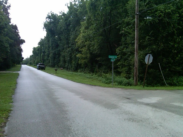
Property Record
12238 Stringer Rd, Brooksville, FL 34601

Property Detail
12238 Stringer Rd
Tampa-St. Petersburg-Clearwater, FL
Hammock Acres
R03-222-19-2282-0060-0010
HAMMOCK ACRES BLK 6 LOT 1
Sfr
Hernando
AE
Florida
12053C0182D
1
2025
2.90 AC
2025
Hernando County
040601
Tampa/St Petersburg
2,585 SF
NEARBY LISTINGS FOR SALE OR LEASE
DEMOGRAPHICS near 12238 Stringer Rd
1 mile
3 mile
5 mile
2024 Total Population
339
5,222
18,336
2029 Population
395
6,087
21,290
Pop Growth 2024-2029
+ 16.52%
+ 16.56%
+ 16.11%
Average Age
45
43
44
2024 Total Households
144
2,160
7,945
HH Growth 2024-2029
+ 17.36%
+ 16.67%
+ 16.14%
Median Household Inc
$57,307
$51,803
$47,241
Avg Household Size
2.40
2.40
2.30
2024 Avg HH Vehicles
2.00
2.00
2.00
Median Home Value
$264,583
$206,667
$143,867
Median Year Built
1981
1975
1978
Nearby Places
Map Layers
Map Styles
 Street
 Aerial
Transit
 Traffic
 Biking
Places
Listings with unknown addresses are not visible on the map
- Restaurants
- Banks
- Shops
- Fitness
- Groceries
Nearby Properties
Address
Land Use
TOTAL SIZE
Lot Size
Zoning
Address
Land Use
TOTAL SIZE
Lot Size
Zoning
427,688 SF
1.77 AC
Address
Land Use
TOTAL SIZE
Lot Size
Zoning
8,368 SF
0.13 AC
Address
Land Use
TOTAL SIZE
Lot Size
Zoning
147,057 SF
40.40 AC
Address
Land Use
TOTAL SIZE
Lot Size
Zoning
201,093 SF
378.65 AC
Address
Land Use
TOTAL SIZE
Lot Size
Zoning
119,027 SF
100 AC
Address
Land Use
TOTAL SIZE
Lot Size
Zoning
81,386 SF
202 AC
Address
Land Use
TOTAL SIZE
Lot Size
Zoning
5,390 SF
30.70 AC
Address
Land Use
TOTAL SIZE
Lot Size
Zoning
46,336 SF
4.10 AC
Address
Land Use
TOTAL SIZE
Lot Size
Zoning
39,017 SF
4 AC
Address
Land Use
TOTAL SIZE
Lot Size
Zoning
8,219 SF
167.30 AC
Address
Land Use
TOTAL SIZE
Lot Size
Zoning
58,266 SF
0.01 AC
Address
Land Use
TOTAL SIZE
Lot Size
Zoning
24,837 SF
114.60 AC
Address
Land Use
TOTAL SIZE
Lot Size
Zoning
34,246 SF
8.10 AC
Address
Land Use
TOTAL SIZE
Lot Size
Zoning
42,144 SF
9 AC
Address
Land Use
TOTAL SIZE
Lot Size
Zoning
320.30 AC
Address
Land Use
TOTAL SIZE
Lot Size
Zoning
21,283 SF
4.40 AC
Address
Land Use
TOTAL SIZE
Lot Size
Zoning
780 SF
242.30 AC
Address
Land Use
TOTAL SIZE
Lot Size
Zoning
4,118 SF
22.80 AC
Address
Land Use
TOTAL SIZE
Lot Size
Zoning
4,793 SF
83.90 AC
Address
Land Use
TOTAL SIZE
Lot Size
Zoning
33,912 SF
5 AC
Address
Land Use
TOTAL SIZE
Lot Size
Zoning
174.20 AC
Address
Land Use
TOTAL SIZE
Lot Size
Zoning
28,242 SF
4.33 AC
Address
Land Use
TOTAL SIZE
Lot Size
Zoning
36,200 SF
4.34 AC
Address
Land Use
TOTAL SIZE
Lot Size
Zoning
21,792 SF
1.73 AC
Address
Land Use
TOTAL SIZE
Lot Size
Zoning
744 SF
111.80 AC
Address
Land Use
TOTAL SIZE
Lot Size
Zoning
24,014 SF
3.70 AC
Address
Land Use
TOTAL SIZE
Lot Size
Zoning
212 AC
Address
Land Use
TOTAL SIZE
Lot Size
Zoning
9.90 AC
Address
Land Use
TOTAL SIZE
Lot Size
Zoning
12,088 SF
2.50 AC
Address
Land Use
TOTAL SIZE
Lot Size
Zoning
15,157 SF
2.50 AC
The World's #1 Commercial Real Estate Marketplace
Connect with us
© 2026 CoStar Group
The information above has been obtained from sources believed reliable. While we do not doubt its accuracy we have not verified it and make no guarantee, warranty or representation about it. It is your responsibility to independently confirm its accuracy and completeness. Any projections, opinions, assumptions, or estimates used are for example only and do not represent the current or future performance of the property. The value of this transaction to you depends on tax and other factors which should be evaluated by your tax, financial, and legal advisors. You and your advisors should conduct a careful, independent investigation of the property to determine to your satisfaction the suitability of the property for your needs.