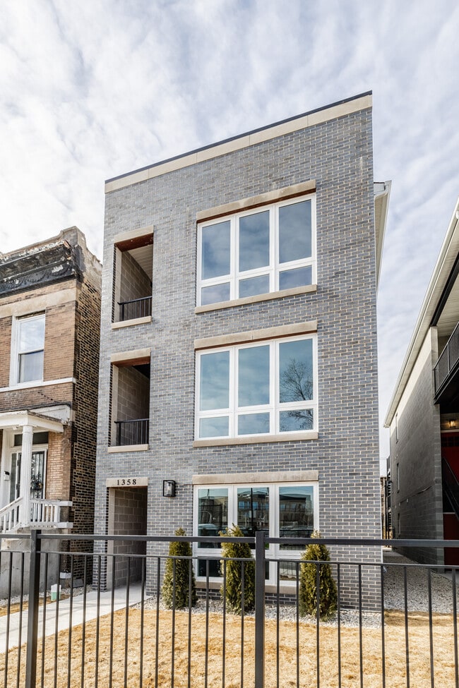
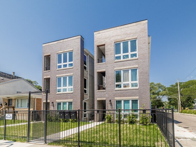
Property Record
1230 S Fairfield Ave, Chicago, IL 60608
NEARBY LISTINGS FOR SALE OR LEASE
Property Detail
1230 S Fairfield Ave
Chicago-Naperville-Elgin, IL-IN
Archibalds Sub
16-24-206-039-0000
S N (ARCHIBALDS) SUB OF LTS11,14-15 IN BLK2 OF COOK & ANDERSONS SUB OF WH NE SEC 24-39-13
Vacantlandnec
Cook
X
Illinois
17031C0505J
11
2023
0.72 AC
2025
Lawndale
843300
Chicago
DEMOGRAPHICS near 1230 S Fairfield Ave
1 Mile
3 Mile
5 Mile
2024 Total Population
30,699
336,974
1,068,138
2029 Population
29,984
326,240
1,047,069
Pop Growth 2024-2029
(2.33%)
(3.19%)
(1.97%)
Average Age
35
36
37
2024 Total Households
11,334
131,622
452,684
HH Growth 2024-2029
(2.84%)
(3.00%)
(1.32%)
Median Household Inc
$51,980
$72,563
$90,006
Avg Household Size
2.50
2.40
2.20
2024 Avg HH Vehicles
1.00
1.00
1.00
Median Home Value
$285,802
$366,990
$396,238
Median Year Built
1953
1949
1957
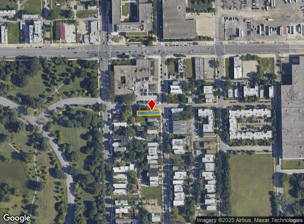
Nearby Places
Map Layers
Map Styles
 Street
 Aerial
- Restaurants
- Banks
- Shops
- Fitness
- Groceries
PUBLIC TRANSPORTATION
TRANSIT/SUBWAY
California Station (Pink Line) (Pink Line - Chicago Transit Authority "L" Trains (The "L"))
DRIVE
WALK
Distance
California Station (Pink Line) (Pink Line - Chicago Transit Authority "L" Trains (The "L"))
1 min
15 min
0.8 mi
COMMUTER RAIL
Western Avenue Station (Bnsf) (Burlington Northern-Santa Fe Railway Line - Northeast Illinois Regional Commuter Railroad (Metra))
DRIVE
WALK
Distance
Western Avenue Station (Bnsf) (Burlington Northern-Santa Fe Railway Line - Northeast Illinois Regional Commuter Railroad (Metra))
2 min
1.3 mi
Western Avenue Station (Md-N/Md-W/Ncs) (Milwaukee District North Line - Northeast Illinois Regional Commuter Railroad (Metra), Milwaukee District West Line - Northeast Illinois Regional Commuter Railroad (Metra), North Central Service - Northeast Illinois Regional Commuter Railroad (Metra))
DRIVE
WALK
Distance
Western Avenue Station (Md-N/Md-W/Ncs) (Milwaukee District North Line - Northeast Illinois Regional Commuter Railroad (Metra), Milwaukee District West Line - Northeast Illinois Regional Commuter Railroad (Metra), North Central Service - Northeast Illinois Regional Commuter Railroad (Metra))
5 min
2.3 mi
AIRPORT
Chicago Midway International
DRIVE
WALK
Distance
Chicago Midway International
13 min
7.4 mi
Chicago O'Hare International
DRIVE
WALK
Distance
Chicago O'Hare International
29 min
17.6 mi
Freight Ports
Port Milwaukee
DRIVE
WALK
Distance
Port Milwaukee
107 min
85.8 mi
Nearby Properties
Address
Land Use
TOTAL SIZE
Lot Size
Zoning
Address
Land Use
TOTAL SIZE
Lot Size
Zoning
1,496,448 SF
2 AC
PD 376
Address
Land Use
TOTAL SIZE
Lot Size
Zoning
2,750,656 SF
6.29 AC
PD 1065
Address
Land Use
TOTAL SIZE
Lot Size
Zoning
1,559,966 SF
1.38 AC
DC-12
Address
Land Use
TOTAL SIZE
Lot Size
Zoning
0.23 AC
PD 756
Address
Land Use
TOTAL SIZE
Lot Size
Zoning
559,589 SF
1.72 AC
C3-5
Address
Land Use
TOTAL SIZE
Lot Size
Zoning
940,994 SF
0.91 AC
PD 938
Address
Land Use
TOTAL SIZE
Lot Size
Zoning
0.72 AC
PD 1403
Address
Land Use
TOTAL SIZE
Lot Size
Zoning
1.44 AC
PD 30
Address
Land Use
TOTAL SIZE
Lot Size
Zoning
73,700 SF
0.48 AC
RM-6.5
Address
Land Use
TOTAL SIZE
Lot Size
Zoning
0.47 AC
PD 779
Address
Land Use
TOTAL SIZE
Lot Size
Zoning
589,535 SF
0.96 AC
DX-12
Address
Land Use
TOTAL SIZE
Lot Size
Zoning
594,987 SF
1.11 AC
PD 1407
Address
Land Use
TOTAL SIZE
Lot Size
Zoning
1,232,426 SF
0.42 AC
PD 779
Address
Land Use
TOTAL SIZE
Lot Size
Zoning
662,088 SF
4.91 AC
PD 504
Address
Land Use
TOTAL SIZE
Lot Size
Zoning
243,200 SF
0.80 AC
DX-7
Address
Land Use
TOTAL SIZE
Lot Size
Zoning
474,979 SF
29.67 AC
PD 553
Address
Land Use
TOTAL SIZE
Lot Size
Zoning
979,674 SF
6.01 AC
PD 924
Address
Land Use
TOTAL SIZE
Lot Size
Zoning
117,600 SF
2.14 AC
PD 233
Address
Land Use
TOTAL SIZE
Lot Size
Zoning
309,985 SF
0.78 AC
PD 1418
Address
Land Use
TOTAL SIZE
Lot Size
Zoning
0.82 AC
PD 1470
Address
Land Use
TOTAL SIZE
Lot Size
Zoning
247,716 SF
0.95 AC
DX-7
Address
Land Use
TOTAL SIZE
Lot Size
Zoning
408,203 SF
2.02 AC
DS-5
Address
Land Use
TOTAL SIZE
Lot Size
Zoning
317,932 SF
0.97 AC
PD 1306
Address
Land Use
TOTAL SIZE
Lot Size
Zoning
0.85 AC
DS-3
Address
Land Use
TOTAL SIZE
Lot Size
Zoning
679,914 SF
0.97 AC
PD 1202
Address
Land Use
TOTAL SIZE
Lot Size
Zoning
822,600 SF
0.35 AC
PD 938
Address
Land Use
TOTAL SIZE
Lot Size
Zoning
0.36 AC
PD 756
Address
Land Use
TOTAL SIZE
Lot Size
Zoning
236,821 SF
0.85 AC
PD 1202
Address
Land Use
TOTAL SIZE
Lot Size
Zoning
613,775 SF
0.41 AC
PD 1403
Address
Land Use
TOTAL SIZE
Lot Size
Zoning
230,000 SF
0.60 AC
PD 1456
The World's #1 Commercial Real Estate Marketplace
Connect with us
© 2026 CoStar Group
The information above has been obtained from sources believed reliable. While we do not doubt its accuracy we have not verified it and make no guarantee, warranty or representation about it. It is your responsibility to independently confirm its accuracy and completeness. Any projections, opinions, assumptions, or estimates used are for example only and do not represent the current or future performance of the property. The value of this transaction to you depends on tax and other factors which should be evaluated by your tax, financial, and legal advisors. You and your advisors should conduct a careful, independent investigation of the property to determine to your satisfaction the suitability of the property for your needs.