Property Record
1231 Colonial Fort Dr, Montvale, VA 24122

NEARBY LISTINGS FOR SALE OR LEASE
-
-
View all Montvale listings for lease on LoopNet.com
Property Detail
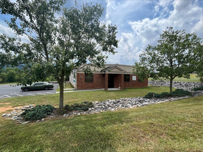
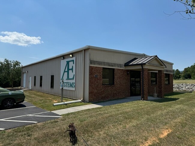
1231 Colonial Fort Dr
87A-1-15B
LOT 2 PB 43/284
Commercialnec
Bedford
X
Virginia
51023C0415C
2
2025
1.50 AC
2025
Lynchburg
030605
Other Market Areas
2,700 SF
Lynchburg, VA
DEMOGRAPHICS near 1231 Colonial Fort Dr
1 Mile
3 Mile
5 Mile
2024 Total Population
514
1,978
5,356
2029 Population
509
2,000
5,481
Pop Growth 2024-2029
(0.97%)
+ 1.11%
+ 2.33%
Average Age
45
45
45
2024 Total Households
222
831
2,221
HH Growth 2024-2029
(1.35%)
+ 0.96%
+ 2.16%
Median Household Inc
$52,977
$54,853
$56,008
Avg Household Size
2.30
2.30
2.30
2024 Avg HH Vehicles
2.00
3.00
3.00
Median Home Value
$185,483
$182,364
$187,540
Median Year Built
1980
1981
1983
Nearby Places
Map Layers
Map Styles
 Street
 Aerial
- Restaurants
- Banks
- Shops
- Fitness
- Groceries
PUBLIC TRANSPORTATION
AIRPORT
Roanoke/Blacksburg Regional (Woodrum Field)
DRIVE
WALK
Distance
Roanoke/Blacksburg Regional (Woodrum Field)
33 min
20.3 mi
Lynchburg Regional/Preston Glenn Field
DRIVE
WALK
Distance
Lynchburg Regional/Preston Glenn Field
44 min
32.0 mi
Freight Ports
Virginia Port Authority - Richmond
DRIVE
WALK
Distance
Virginia Port Authority - Richmond
194 min
145.6 mi
SALE & LEASE HISTORY
LISTING DATE
SALE/LEASE

Jul 30, 2024
For Lease
Jul 08, 2024
For Lease
Nearby Properties
Address
Land Use
TOTAL SIZE
Lot Size
Zoning
Address
Land Use
TOTAL SIZE
Lot Size
Zoning
Address
Land Use
TOTAL SIZE
Lot Size
Zoning
Address
Land Use
TOTAL SIZE
Lot Size
Zoning
Address
Land Use
TOTAL SIZE
Lot Size
Zoning
272.75 AC
R1
Address
Land Use
TOTAL SIZE
Lot Size
Zoning
7,000 SF
4.34 AC
R1
Address
Land Use
TOTAL SIZE
Lot Size
Zoning
Address
Land Use
TOTAL SIZE
Lot Size
Zoning
39.18 AC
R1
Address
Land Use
TOTAL SIZE
Lot Size
Zoning
2,160 SF
24.04 AC
R1
Address
Land Use
TOTAL SIZE
Lot Size
Zoning
Address
Land Use
TOTAL SIZE
Lot Size
Zoning
1.38 AC
R1
Address
Land Use
TOTAL SIZE
Lot Size
Zoning
7,200 SF
31.20 AC
R1
Address
Land Use
TOTAL SIZE
Lot Size
Zoning
14,357 SF
9.01 AC
R1
Address
Land Use
TOTAL SIZE
Lot Size
Zoning
7,200 SF
27.24 AC
R1
Address
Land Use
TOTAL SIZE
Lot Size
Zoning
224.10 AC
R1
Address
Land Use
TOTAL SIZE
Lot Size
Zoning
864 SF
15 AC
R1
Address
Land Use
TOTAL SIZE
Lot Size
Zoning
470.60 AC
R1
Address
Land Use
TOTAL SIZE
Lot Size
Zoning
Address
Land Use
TOTAL SIZE
Lot Size
Zoning
219 AC
R1
Address
Land Use
TOTAL SIZE
Lot Size
Zoning
Address
Land Use
TOTAL SIZE
Lot Size
Zoning
Address
Land Use
TOTAL SIZE
Lot Size
Zoning
3,286 SF
76.56 AC
R1
Address
Land Use
TOTAL SIZE
Lot Size
Zoning
4,608 SF
Address
Land Use
TOTAL SIZE
Lot Size
Zoning
14.64 AC
R1
Address
Land Use
TOTAL SIZE
Lot Size
Zoning
44.82 AC
Address
Land Use
TOTAL SIZE
Lot Size
Zoning
3,432 SF
53.52 AC
R1
Address
Land Use
TOTAL SIZE
Lot Size
Zoning
5,250 SF
1.20 AC
Address
Land Use
TOTAL SIZE
Lot Size
Zoning
5,672 SF
Address
Land Use
TOTAL SIZE
Lot Size
Zoning
4,920 SF
8.46 AC
R1
Address
Land Use
TOTAL SIZE
Lot Size
Zoning
4,423 SF
Address
Land Use
TOTAL SIZE
Lot Size
Zoning
30.73 AC
The World's #1 Commercial Real Estate Marketplace
Connect with us
© 2025 CoStar Group
The information above has been obtained from sources believed reliable. While we do not doubt its accuracy we have not verified it and make no guarantee, warranty or representation about it. It is your responsibility to independently confirm its accuracy and completeness. Any projections, opinions, assumptions, or estimates used are for example only and do not represent the current or future performance of the property. The value of this transaction to you depends on tax and other factors which should be evaluated by your tax, financial, and legal advisors. You and your advisors should conduct a careful, independent investigation of the property to determine to your satisfaction the suitability of the property for your needs.