Property Record
1232 Spanish Oak Way, Odenton, MD 21113
NEARBY LISTINGS FOR SALE OR LEASE
Property Detail
1232 Spanish Oak Way
Baltimore-Columbia-Towson, MD
Cascades At Two Rivers P
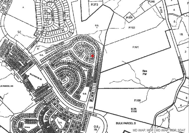
04-146-90239019
LOT 123R CASCADES AT TWO RIVERS P
Taxexempt
Anne Arundel
X
Maryland
24033C0090E
123r
2024
0.11 AC
2025
I-97/Crain Hwy Corridor
740704
Baltimore
2,738 SF
DEMOGRAPHICS near 1232 Spanish Oak Way
1 Mile
3 Mile
5 Mile
2024 Total Population
3,723
55,403
111,567
2029 Population
4,134
56,404
112,199
Pop Growth 2024-2029
+ 11.04%
+ 1.81%
+ 0.57%
Average Age
48
39
40
2024 Total Households
1,567
20,397
40,289
HH Growth 2024-2029
+ 11.04%
+ 2.11%
+ 0.84%
Median Household Inc
$206,905
$129,193
$127,695
Avg Household Size
2.40
2.60
2.70
2024 Avg HH Vehicles
2.00
2.00
2.00
Median Home Value
$689,501
$444,488
$434,662
Median Year Built
2011
1991
1989
Nearby Places
Map Layers
Map Styles
 Street
 Aerial
- Restaurants
- Banks
- Shops
- Fitness
- Groceries
PUBLIC TRANSPORTATION
COMMUTER RAIL
Bowie State Marc Nb (PENN - WASHINGTON - Maryland Transit Administration)
DRIVE
WALK
Distance
Bowie State Marc Nb (PENN - WASHINGTON - Maryland Transit Administration)
24 min
9.9 mi
AIRPORT
Baltimore/Washington International Thurgood Marshall
DRIVE
WALK
Distance
Baltimore/Washington International Thurgood Marshall
34 min
15.6 mi
Ronald Reagan Washington Ntl
DRIVE
WALK
Distance
Ronald Reagan Washington Ntl
49 min
30.3 mi
Freight Ports
Port of Baltimore
DRIVE
WALK
Distance
Port of Baltimore
42 min
25.0 mi
Nearby Properties
Address
Land Use
TOTAL SIZE
Lot Size
Zoning
Address
Land Use
TOTAL SIZE
Lot Size
Zoning
444,842 SF
19.48 AC
R22
Address
Land Use
TOTAL SIZE
Lot Size
Zoning
360,354 SF
7.36 AC
MXD-C
Address
Land Use
TOTAL SIZE
Lot Size
Zoning
246,000 SF
15.73 AC
MXDR
Address
Land Use
TOTAL SIZE
Lot Size
Zoning
273,816 SF
44.22 AC
MXD-C
Address
Land Use
TOTAL SIZE
Lot Size
Zoning
296,453 SF
16.23 AC
R15
Address
Land Use
TOTAL SIZE
Lot Size
Zoning
80,321 SF
11.78 AC
CGO
Address
Land Use
TOTAL SIZE
Lot Size
Zoning
227.10 AC
NAC
Address
Land Use
TOTAL SIZE
Lot Size
Zoning
287,439 SF
19.97 AC
CGO
Address
Land Use
TOTAL SIZE
Lot Size
Zoning
8.70 AC
R15
Address
Land Use
TOTAL SIZE
Lot Size
Zoning
237,377 SF
9.86 AC
R15
Address
Land Use
TOTAL SIZE
Lot Size
Zoning
159,944 SF
5.34 AC
C1
Address
Land Use
TOTAL SIZE
Lot Size
Zoning
101,475 SF
11.17 AC
CGO
Address
Land Use
TOTAL SIZE
Lot Size
Zoning
8.38 AC
R22
Address
Land Use
TOTAL SIZE
Lot Size
Zoning
108,480 SF
17.66 AC
C4
Address
Land Use
TOTAL SIZE
Lot Size
Zoning
72,925 SF
4.12 AC
MXR
Address
Land Use
TOTAL SIZE
Lot Size
Zoning
47,744 SF
1.79 AC
MXD-C
Address
Land Use
TOTAL SIZE
Lot Size
Zoning
39,695 SF
11.66 AC
C4
Address
Land Use
TOTAL SIZE
Lot Size
Zoning
134,923 SF
8.35 AC
MXD-C
Address
Land Use
TOTAL SIZE
Lot Size
Zoning
86,496 SF
6.86 AC
R5
Address
Land Use
TOTAL SIZE
Lot Size
Zoning
87,919 SF
9.71 AC
R5
Address
Land Use
TOTAL SIZE
Lot Size
Zoning
112,028 SF
40.41 AC
R1
Address
Land Use
TOTAL SIZE
Lot Size
Zoning
63,000 SF
22.90 AC
R1
Address
Land Use
TOTAL SIZE
Lot Size
Zoning
29,161 SF
3.98 AC
MXD-C
Address
Land Use
TOTAL SIZE
Lot Size
Zoning
70,784 SF
18 AC
R15
Address
Land Use
TOTAL SIZE
Lot Size
Zoning
91,592 SF
9.51 AC
C3
Address
Land Use
TOTAL SIZE
Lot Size
Zoning
78,930 SF
9.24 AC
R5
Address
Land Use
TOTAL SIZE
Lot Size
Zoning
74,054 SF
1.40 AC
R1
Address
Land Use
TOTAL SIZE
Lot Size
Zoning
168,332 SF
20.65 AC
C3
Address
Land Use
TOTAL SIZE
Lot Size
Zoning
48,979 SF
1.64 AC
R1
The World's #1 Commercial Real Estate Marketplace
Connect with us
© 2025 CoStar Group
The information above has been obtained from sources believed reliable. While we do not doubt its accuracy we have not verified it and make no guarantee, warranty or representation about it. It is your responsibility to independently confirm its accuracy and completeness. Any projections, opinions, assumptions, or estimates used are for example only and do not represent the current or future performance of the property. The value of this transaction to you depends on tax and other factors which should be evaluated by your tax, financial, and legal advisors. You and your advisors should conduct a careful, independent investigation of the property to determine to your satisfaction the suitability of the property for your needs.