Property Record
124 N Elden St, Flagstaff, AZ 86001


Current Lease Availabilities
Property Detail
124 N Elden St
101-23-004B
SUBDIVISION: RAILROAD ADD BLOCK: A BEG SW COR OF PCL DESC IN INST 3614676; TH N20-55-47E 83; TH S69-3-3E 109.92; TH S20-55-47W 58.54; TH S20-55-47W 6.18; TH N69-4-13W 36.01; TH S20-55-47W 18.25; TH S20-55-47W 6.18; TH N69-4-13W 73.91; TH N20-55-47E 6
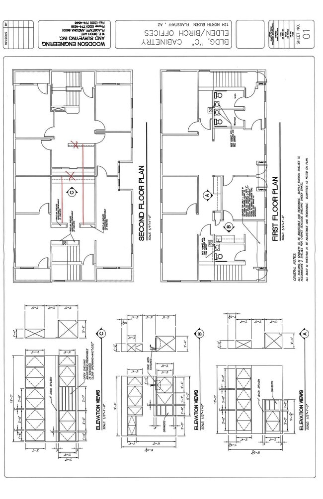
Officebuilding
COCONINO
B and X Area of moderate flood hazard, usually the area between the limits of the 100-year and 500-year floods.
Arizona
2024
0.21 AC
2025
Downtown Flagstaff
001201
Other Market Areas
4,140 SF
Flagstaff, AZ
NEARBY LISTINGS FOR SALE OR LEASE
DEMOGRAPHICS near 124 N Elden St
1 mile
3 mile
5 mile
2025 Total Population
11,795
59,008
76,475
2030 Population
11,582
58,313
75,715
Pop Growth 2025-2030
(1.81%)
(1.18%)
(0.99%)
Average Age
31
32
33
2025 Total Households
4,093
18,972
25,425
HH Growth 2025-2030
(3.23%)
(2.37%)
(2.06%)
Median Household Inc
$55,017
$64,151
$70,045
Avg Household Size
2.20
2.40
2.40
2025 Avg HH Vehicles
2.00
2.00
2.00
Median Home Value
$677,877
$588,806
$612,127
Median Year Built
1984
1991
1992
Nearby Places
Map Layers
Map Styles
 Street
 Aerial
Layers
 Traffic
 Biking
Places
Listings with unknown addresses are not visible on the map
- Restaurants
- Banks
- Shops
- Fitness
- Groceries
PUBLIC TRANSPORTATION
COMMUTER RAIL
Drive
Walk
Distance
1 min
7 min
0.3 mi
AIRPORT
Flagstaff Pulliam
Drive
Walk
Distance
Flagstaff Pulliam
13 min
6.3 mi
Nearby Properties
Address
Land Use
TOTAL SIZE
Lot Size
Zoning
Address
Land Use
TOTAL SIZE
Lot Size
Zoning
385,095 SF
13.33 AC
Address
Land Use
TOTAL SIZE
Lot Size
Zoning
579,936 SF
6.07 AC
Address
Land Use
TOTAL SIZE
Lot Size
Zoning
602,053 SF
4.81 AC
Address
Land Use
TOTAL SIZE
Lot Size
Zoning
475,521 SF
12.26 AC
Address
Land Use
TOTAL SIZE
Lot Size
Zoning
480,583 SF
2.68 AC
Address
Land Use
TOTAL SIZE
Lot Size
Zoning
323,846 SF
26.50 AC
Address
Land Use
TOTAL SIZE
Lot Size
Zoning
366,782 SF
2.01 AC
Address
Land Use
TOTAL SIZE
Lot Size
Zoning
308,364 SF
2.43 AC
Address
Land Use
TOTAL SIZE
Lot Size
Zoning
239,308 SF
16.28 AC
Address
Land Use
TOTAL SIZE
Lot Size
Zoning
233,703 SF
14.92 AC
Address
Land Use
TOTAL SIZE
Lot Size
Zoning
178,737 SF
7.35 AC
Address
Land Use
TOTAL SIZE
Lot Size
Zoning
182,018 SF
11.28 AC
Address
Land Use
TOTAL SIZE
Lot Size
Zoning
218,329 SF
39.12 AC
Address
Land Use
TOTAL SIZE
Lot Size
Zoning
202,220 SF
4.31 AC
Address
Land Use
TOTAL SIZE
Lot Size
Zoning
144,737 SF
15.01 AC
Address
Land Use
TOTAL SIZE
Lot Size
Zoning
176,750 SF
9.53 AC
Address
Land Use
TOTAL SIZE
Lot Size
Zoning
125,784 SF
298.81 AC
Address
Land Use
TOTAL SIZE
Lot Size
Zoning
225,645 SF
35.94 AC
Address
Land Use
TOTAL SIZE
Lot Size
Zoning
161,548 SF
6.71 AC
Address
Land Use
TOTAL SIZE
Lot Size
Zoning
124,394 SF
3.84 AC
Address
Land Use
TOTAL SIZE
Lot Size
Zoning
19.92 AC
Address
Land Use
TOTAL SIZE
Lot Size
Zoning
41,141 SF
0.92 AC
Address
Land Use
TOTAL SIZE
Lot Size
Zoning
75,751 SF
4.76 AC
Address
Land Use
TOTAL SIZE
Lot Size
Zoning
91,531 SF
6.75 AC
Address
Land Use
TOTAL SIZE
Lot Size
Zoning
109,623 SF
15.24 AC
Address
Land Use
TOTAL SIZE
Lot Size
Zoning
181,848 SF
21.01 AC
Address
Land Use
TOTAL SIZE
Lot Size
Zoning
51,619 SF
4.33 AC
Address
Land Use
TOTAL SIZE
Lot Size
Zoning
116,631 SF
5.60 AC
Address
Land Use
TOTAL SIZE
Lot Size
Zoning
110,642 SF
12.40 AC
Address
Land Use
TOTAL SIZE
Lot Size
Zoning
122,164 SF
10.74 AC
The World's #1 Commercial Real Estate Marketplace
Connect with us
© 2026 CoStar Group
The information above has been obtained from sources believed reliable. While we do not doubt its accuracy we have not verified it and make no guarantee, warranty or representation about it. It is your responsibility to independently confirm its accuracy and completeness. Any projections, opinions, assumptions, or estimates used are for example only and do not represent the current or future performance of the property. The value of this transaction to you depends on tax and other factors which should be evaluated by your tax, financial, and legal advisors. You and your advisors should conduct a careful, independent investigation of the property to determine to your satisfaction the suitability of the property for your needs.