Property Record
12489 Research Blvd, Austin, TX 78759

Property Detail
12489 Research Blvd
Austin-Round Rock-San Marcos, TX
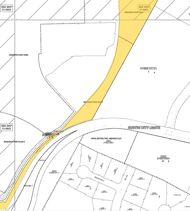
RESEARCH PARK SEC 4 LOT 11
458319
TRAVIS
Multifamilydwelling
Texas
B and X Area of moderate flood hazard, usually the area between the limits of the 100-year and 500-year floods.
11
2025
15.38 AC
2025
Northwest
034200
Austin
288,750 SF
NEARBY LISTINGS FOR SALE OR LEASE
-
-
-
-
-
No Photo
-
View all Austin listings for sale on LoopNet.com
DEMOGRAPHICS near 12489 Research Blvd
1 mile
3 mile
5 mile
2025 Total Population
15,214
91,694
266,051
2030 Population
16,057
98,207
286,368
Pop Growth 2025-2030
+ 5.54%
+ 7.10%
+ 7.64%
Average Age
37
39
38
2025 Total Households
7,067
42,697
119,419
HH Growth 2025-2030
+ 6.07%
+ 7.77%
+ 8.17%
Median Household Inc
$94,769
$100,770
$96,746
Avg Household Size
2.10
2.10
2.20
2025 Avg HH Vehicles
1.00
2.00
2.00
Median Home Value
$484,109
$632,325
$605,239
Median Year Built
1992
1992
1995
Nearby Places
Map Layers
Map Styles
 Street
 Aerial
Layers
 Traffic
 Biking
Places
Listings with unknown addresses are not visible on the map
- Restaurants
- Banks
- Shops
- Fitness
- Groceries
PUBLIC TRANSPORTATION
AIRPORT
Austin-Bergstrom International
Drive
Walk
Distance
Austin-Bergstrom International
39 min
24.9 mi
Freight Ports
Calhoun Port
Drive
Walk
Distance
Calhoun Port
204 min
168.4 mi
Nearby Properties
Address
Land Use
TOTAL SIZE
Lot Size
Zoning
Address
Land Use
TOTAL SIZE
Lot Size
Zoning
3,601,391 SF
159.61 AC
Address
Land Use
TOTAL SIZE
Lot Size
Zoning
13,523 SF
128.82 AC
Address
Land Use
TOTAL SIZE
Lot Size
Zoning
830,637 SF
23.22 AC
Address
Land Use
TOTAL SIZE
Lot Size
Zoning
462,651 SF
81.77 AC
Address
Land Use
TOTAL SIZE
Lot Size
Zoning
1,145,461 SF
34.05 AC
Address
Land Use
TOTAL SIZE
Lot Size
Zoning
371,269 SF
27.63 AC
Address
Land Use
TOTAL SIZE
Lot Size
Zoning
326,626 SF
2.54 AC
Address
Land Use
TOTAL SIZE
Lot Size
Zoning
750,565 SF
65.25 AC
Address
Land Use
TOTAL SIZE
Lot Size
Zoning
666,331 SF
36.37 AC
Address
Land Use
TOTAL SIZE
Lot Size
Zoning
320,104 SF
3.27 AC
Address
Land Use
TOTAL SIZE
Lot Size
Zoning
295,320 SF
2.99 AC
Address
Land Use
TOTAL SIZE
Lot Size
Zoning
293,224 SF
4.45 AC
Address
Land Use
TOTAL SIZE
Lot Size
Zoning
316,888 SF
3.79 AC
Address
Land Use
TOTAL SIZE
Lot Size
Zoning
352,386 SF
33.65 AC
Address
Land Use
TOTAL SIZE
Lot Size
Zoning
492,227 SF
23.59 AC
Address
Land Use
TOTAL SIZE
Lot Size
Zoning
172,307 SF
11.95 AC
Address
Land Use
TOTAL SIZE
Lot Size
Zoning
233,091 SF
5.61 AC
Address
Land Use
TOTAL SIZE
Lot Size
Zoning
381,408 SF
22.17 AC
Address
Land Use
TOTAL SIZE
Lot Size
Zoning
1,179,402 SF
92.28 AC
Address
Land Use
TOTAL SIZE
Lot Size
Zoning
364,130 SF
42.45 AC
Address
Land Use
TOTAL SIZE
Lot Size
Zoning
451,564 SF
25 AC
Address
Land Use
TOTAL SIZE
Lot Size
Zoning
409,082 SF
14.42 AC
Address
Land Use
TOTAL SIZE
Lot Size
Zoning
293,217 SF
22.34 AC
Address
Land Use
TOTAL SIZE
Lot Size
Zoning
285,120 SF
15.60 AC
Address
Land Use
TOTAL SIZE
Lot Size
Zoning
365,399 SF
11.50 AC
Address
Land Use
TOTAL SIZE
Lot Size
Zoning
277,020 SF
1.41 AC
Address
Land Use
TOTAL SIZE
Lot Size
Zoning
221,888 SF
4.17 AC
Address
Land Use
TOTAL SIZE
Lot Size
Zoning
687,401 SF
20.47 AC
Address
Land Use
TOTAL SIZE
Lot Size
Zoning
400,536 SF
31.68 AC
Address
Land Use
TOTAL SIZE
Lot Size
Zoning
465,808 SF
9.74 AC
The World's #1 Commercial Real Estate Marketplace
Connect with us
© 2026 CoStar Group
The information above has been obtained from sources believed reliable. While we do not doubt its accuracy we have not verified it and make no guarantee, warranty or representation about it. It is your responsibility to independently confirm its accuracy and completeness. Any projections, opinions, assumptions, or estimates used are for example only and do not represent the current or future performance of the property. The value of this transaction to you depends on tax and other factors which should be evaluated by your tax, financial, and legal advisors. You and your advisors should conduct a careful, independent investigation of the property to determine to your satisfaction the suitability of the property for your needs.