Property Record
125 Thunderbird Ln, East Peoria, IL 61611

NEARBY LISTINGS FOR SALE OR LEASE
-
-
View all East Peoria listings for sale on LoopNet.com
Property Detail
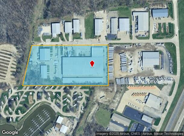
125 Thunderbird Ln
01-01-14-100-007
SEC 14 T26N R4W TRACT IN S 1/2 NW 1/4 7.34 AC
Storebuilding
Tazewell
AE
Illinois
17179C0035E
7.34 AC
2023
East Peoria
2024
Peoria
020100
Peoria, IL
114,680 SF
DEMOGRAPHICS near 125 Thunderbird Ln
1 Mile
3 Mile
5 Mile
2024 Total Population
895
32,503
95,444
2029 Population
906
32,235
94,193
Pop Growth 2024-2029
+ 1.23%
(0.82%)
(1.31%)
Average Age
45
39
39
2024 Total Households
381
13,423
40,289
HH Growth 2024-2029
+ 1.31%
(1.02%)
(1.51%)
Median Household Inc
$77,976
$49,127
$49,086
Avg Household Size
2.30
2.30
2.20
2024 Avg HH Vehicles
2.00
2.00
2.00
Median Home Value
$181,578
$114,444
$124,007
Median Year Built
1979
1954
1956
Nearby Places
Map Layers
Map Styles
 Street
 Aerial
- Restaurants
- Banks
- Shops
- Fitness
- Groceries
PUBLIC TRANSPORTATION
AIRPORT
General Downing - Peoria International
DRIVE
WALK
Distance
General Downing - Peoria International
22 min
11.9 mi
Freight Ports
Port Milwaukee
DRIVE
WALK
Distance
Port Milwaukee
265 min
226.9 mi
Nearby Properties
Address
Land Use
TOTAL SIZE
Lot Size
Zoning
Address
Land Use
TOTAL SIZE
Lot Size
Zoning
22.13 AC
Address
Land Use
TOTAL SIZE
Lot Size
Zoning
142,321 SF
15.92 AC
Address
Land Use
TOTAL SIZE
Lot Size
Zoning
186,472 SF
2.19 AC
Address
Land Use
TOTAL SIZE
Lot Size
Zoning
0.22 AC
Address
Land Use
TOTAL SIZE
Lot Size
Zoning
77,621 SF
4.62 AC
Address
Land Use
TOTAL SIZE
Lot Size
Zoning
80,102 SF
2 AC
Address
Land Use
TOTAL SIZE
Lot Size
Zoning
69,113 SF
9.83 AC
Address
Land Use
TOTAL SIZE
Lot Size
Zoning
283,737 SF
23.37 AC
Address
Land Use
TOTAL SIZE
Lot Size
Zoning
133,070 SF
11.11 AC
Address
Land Use
TOTAL SIZE
Lot Size
Zoning
17.42 AC
Address
Land Use
TOTAL SIZE
Lot Size
Zoning
69,777 SF
2.92 AC
Address
Land Use
TOTAL SIZE
Lot Size
Zoning
21.34 AC
Address
Land Use
TOTAL SIZE
Lot Size
Zoning
74,620 SF
6.54 AC
Address
Land Use
TOTAL SIZE
Lot Size
Zoning
61,463 SF
45.39 AC
Address
Land Use
TOTAL SIZE
Lot Size
Zoning
Address
Land Use
TOTAL SIZE
Lot Size
Zoning
Address
Land Use
TOTAL SIZE
Lot Size
Zoning
26.62 AC
Address
Land Use
TOTAL SIZE
Lot Size
Zoning
66,584 SF
15.23 AC
Address
Land Use
TOTAL SIZE
Lot Size
Zoning
34,243 SF
3.25 AC
Address
Land Use
TOTAL SIZE
Lot Size
Zoning
18.67 AC
Address
Land Use
TOTAL SIZE
Lot Size
Zoning
23,558 SF
1.85 AC
Address
Land Use
TOTAL SIZE
Lot Size
Zoning
40,040 SF
83.34 AC
Address
Land Use
TOTAL SIZE
Lot Size
Zoning
208,914 SF
22.25 AC
Address
Land Use
TOTAL SIZE
Lot Size
Zoning
42,640 SF
4.48 AC
Address
Land Use
TOTAL SIZE
Lot Size
Zoning
81,674 SF
9.88 AC
Address
Land Use
TOTAL SIZE
Lot Size
Zoning
Address
Land Use
TOTAL SIZE
Lot Size
Zoning
20,316 SF
3.52 AC
Address
Land Use
TOTAL SIZE
Lot Size
Zoning
The World's #1 Commercial Real Estate Marketplace
Connect with us
© 2026 CoStar Group
The information above has been obtained from sources believed reliable. While we do not doubt its accuracy we have not verified it and make no guarantee, warranty or representation about it. It is your responsibility to independently confirm its accuracy and completeness. Any projections, opinions, assumptions, or estimates used are for example only and do not represent the current or future performance of the property. The value of this transaction to you depends on tax and other factors which should be evaluated by your tax, financial, and legal advisors. You and your advisors should conduct a careful, independent investigation of the property to determine to your satisfaction the suitability of the property for your needs.