Property Record
1250 Roble Blanco Rd, Solvang, CA 93463


NEARBY LISTINGS FOR SALE OR LEASE
Property Detail
1250 Roble Blanco Rd
137-100-063
PARCEL MAP 20/75-77 12639 POR OF
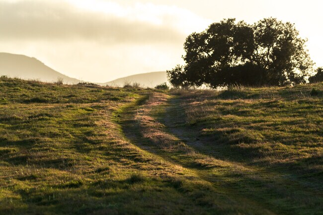
Ruralagriculturalresidence
Santa Barbara
X
California
06083C1057G
15.16 AC
2024
Central SB County
2025
Santa Barbara/Sta Maria/Goleta
0019031044
Santa Maria-Santa Barbara, CA
2,823 SF
DEMOGRAPHICS near 1250 Roble Blanco Rd
1 mile
3 mile
5 mile
2024 Total Population
371
11,231
17,927
2029 Population
350
10,861
17,338
Pop Growth 2024-2029
(5.66%)
(3.29%)
(3.29%)
Average Age
47
45
45
2024 Total Households
141
4,401
6,907
HH Growth 2024-2029
(5.67%)
(3.45%)
(3.43%)
Median Household Inc
$183,928
$116,447
$113,061
Avg Household Size
2.70
2.50
2.50
2024 Avg HH Vehicles
3.00
2.00
2.00
Median Home Value
$1,114,607
$979,819
$880,833
Median Year Built
1983
1980
1982
Nearby Places
Map Layers
Map Styles
 Street
 Aerial
Transit
 Traffic
 Biking
Places
Listings with unknown addresses are not visible on the map
- Restaurants
- Banks
- Shops
- Fitness
- Groceries
PUBLIC TRANSPORTATION
AIRPORT
Santa Barbara Municipal
Drive
Walk
Distance
Santa Barbara Municipal
67 min
39.6 mi
Freight Ports
The Port of Hueneme
Drive
Walk
Distance
The Port of Hueneme
107 min
75.6 mi
SALE & LEASE HISTORY
LISTING DATE
SALE/LEASE

Apr 14, 2021
For Sale
Nearby Properties
Address
Land Use
TOTAL SIZE
Lot Size
Zoning
Address
Land Use
TOTAL SIZE
Lot Size
Zoning
5.10 AC
Address
Land Use
TOTAL SIZE
Lot Size
Zoning
10.27 AC
Address
Land Use
TOTAL SIZE
Lot Size
Zoning
16,005 SF
298.40 AC
AGII100
Address
Land Use
TOTAL SIZE
Lot Size
Zoning
2.44 AC
Address
Land Use
TOTAL SIZE
Lot Size
Zoning
14,794 SF
34.82 AC
AGII40
Address
Land Use
TOTAL SIZE
Lot Size
Zoning
2.11 AC
Address
Land Use
TOTAL SIZE
Lot Size
Zoning
2.55 AC
Address
Land Use
TOTAL SIZE
Lot Size
Zoning
4.21 AC
Address
Land Use
TOTAL SIZE
Lot Size
Zoning
3.63 AC
Address
Land Use
TOTAL SIZE
Lot Size
Zoning
3.19 AC
AGI40
Address
Land Use
TOTAL SIZE
Lot Size
Zoning
1.54 AC
Address
Land Use
TOTAL SIZE
Lot Size
Zoning
3.06 AC
Address
Land Use
TOTAL SIZE
Lot Size
Zoning
10,924 SF
18.80 AC
AGI20
Address
Land Use
TOTAL SIZE
Lot Size
Zoning
4.35 AC
C2
Address
Land Use
TOTAL SIZE
Lot Size
Zoning
50,439 SF
3.30 AC
Address
Land Use
TOTAL SIZE
Lot Size
Zoning
Address
Land Use
TOTAL SIZE
Lot Size
Zoning
0.04 AC
Address
Land Use
TOTAL SIZE
Lot Size
Zoning
137,419 SF
5.12 AC
Address
Land Use
TOTAL SIZE
Lot Size
Zoning
Address
Land Use
TOTAL SIZE
Lot Size
Zoning
Address
Land Use
TOTAL SIZE
Lot Size
Zoning
3.08 AC
Address
Land Use
TOTAL SIZE
Lot Size
Zoning
1.04 AC
Address
Land Use
TOTAL SIZE
Lot Size
Zoning
2,110 SF
3.01 AC
Address
Land Use
TOTAL SIZE
Lot Size
Zoning
0.79 AC
Address
Land Use
TOTAL SIZE
Lot Size
Zoning
3.34 AC
Address
Land Use
TOTAL SIZE
Lot Size
Zoning
148.18 AC
AGII100
Address
Land Use
TOTAL SIZE
Lot Size
Zoning
136.10 AC
AGII40
Address
Land Use
TOTAL SIZE
Lot Size
Zoning
0.35 AC
Address
Land Use
TOTAL SIZE
Lot Size
Zoning
8,960 SF
14.10 AC
AGI20
Address
Land Use
TOTAL SIZE
Lot Size
Zoning
6,470 SF
25.85 AC
AGI10
The World's #1 Commercial Real Estate Marketplace
Connect with us
© 2026 CoStar Group
The information above has been obtained from sources believed reliable. While we do not doubt its accuracy we have not verified it and make no guarantee, warranty or representation about it. It is your responsibility to independently confirm its accuracy and completeness. Any projections, opinions, assumptions, or estimates used are for example only and do not represent the current or future performance of the property. The value of this transaction to you depends on tax and other factors which should be evaluated by your tax, financial, and legal advisors. You and your advisors should conduct a careful, independent investigation of the property to determine to your satisfaction the suitability of the property for your needs.