No Photo
Property Record
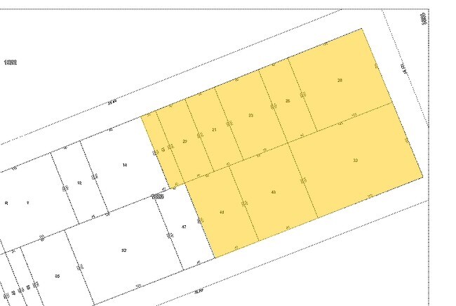
126 35Th Ave, Corona, NY 11368
Property Detail
126 35Th Ave
01823-0023
QUEENS
Commercialnec
New York
C4-4
23
AE The base floodplain where base flood elevations are provided. AE Zones are now used on new format FIRMs instead of A1-A30 Zones.
0.14 AC
0
Northeast Queens
2025
Long Island (New York)
038301
New York-Jersey City-White Plains, NY-NJ
NEARBY LISTINGS FOR SALE OR LEASE
-
-
-
-
-
-
-
-
-
-
-
-
-
-
-
No Photo
-
View all Corona listings for sale on LoopNet.com
DEMOGRAPHICS near 126 35Th Ave
1 mile
3 mile
5 mile
2025 Total Population
66,951
791,081
1,709,845
2030 Population
67,634
784,487
1,687,331
Pop Growth 2025-2030
+ 1.02%
(0.83%)
(1.32%)
Average Age
43
43
42
2025 Total Households
22,720
270,017
604,240
HH Growth 2025-2030
+ 1.07%
(0.94%)
(1.54%)
Median Household Inc
$53,990
$72,440
$76,571
Avg Household Size
2.80
2.80
2.70
2025 Avg HH Vehicles
1.00
1.00
1.00
Median Home Value
$609,716
$670,844
$706,193
Median Year Built
1965
1955
1953
Nearby Places
Map Layers
Map Styles
 Street
 Aerial
Transit
 Traffic
 Biking
Places
Listings with unknown addresses are not visible on the map
- Restaurants
- Banks
- Shops
- Fitness
- Groceries
PUBLIC TRANSPORTATION
TRANSIT/SUBWAY
Mets-Willets Point (7 - New York MTA Subway (The Subway))
Drive
Walk
Distance
Mets-Willets Point (7 - New York MTA Subway (The Subway))
1 min
9 min
0.5 mi
Mets-Willets Point Station (Port Washington Branch - Long Island Rail Road)
Drive
Walk
Distance
Mets-Willets Point Station (Port Washington Branch - Long Island Rail Road)
6 min
13 min
0.6 mi
Flushing-Main Street (7 - New York MTA Subway (The Subway))
Drive
Walk
Distance
Flushing-Main Street (7 - New York MTA Subway (The Subway))
3 min
20 min
1.0 mi
111 Street (7 Line) (7 - New York MTA Subway (The Subway))
Drive
Walk
Distance
111 Street (7 Line) (7 - New York MTA Subway (The Subway))
3 min
20 min
1.0 mi
COMMUTER RAIL
Mets-Willets Point Station (Port Washington Branch - Long Island Rail Road)
Drive
Walk
Distance
Mets-Willets Point Station (Port Washington Branch - Long Island Rail Road)
6 min
12 min
0.6 mi
Flushing-Main Street Station (Port Washington Branch - Long Island Rail Road)
Drive
Walk
Distance
Flushing-Main Street Station (Port Washington Branch - Long Island Rail Road)
4 min
1.3 mi
AIRPORT
LaGuardia
Drive
Walk
Distance
LaGuardia
7 min
2.5 mi
John F Kennedy International
Drive
Walk
Distance
John F Kennedy International
18 min
10.8 mi
Newark Liberty International
Drive
Walk
Distance
Newark Liberty International
39 min
22.9 mi
Freight Ports
NY - Red Hook Container Terminal
Drive
Walk
Distance
NY - Red Hook Container Terminal
24 min
12.1 mi
The World's #1 Commercial Real Estate Marketplace
Connect with us
© 2026 CoStar Group
The information above has been obtained from sources believed reliable. While we do not doubt its accuracy we have not verified it and make no guarantee, warranty or representation about it. It is your responsibility to independently confirm its accuracy and completeness. Any projections, opinions, assumptions, or estimates used are for example only and do not represent the current or future performance of the property. The value of this transaction to you depends on tax and other factors which should be evaluated by your tax, financial, and legal advisors. You and your advisors should conduct a careful, independent investigation of the property to determine to your satisfaction the suitability of the property for your needs.