Property Record
12649 Davis Ave, Mc Farland, CA 93250


Property Detail
12649 Davis Ave
Bakersfield-Delano, CA
SECTION 1 , TOWNSHIP 26 , RANGE 25 , QUARTER
060-030-12-00-2
KERN
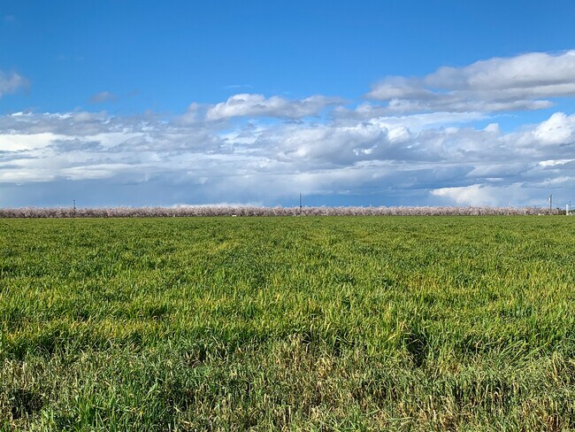
Agriculturalland
California
A
84.26 AC
A Areas with a 1% annual chance of flooding and a 26% chance of flooding over the life of a 30-year mortgage.
NW Outlying Kern County
2024
Bakersfield
2025
NEARBY LISTINGS FOR SALE OR LEASE
DEMOGRAPHICS near 12649 Davis Ave
1 mile
3 mile
5 mile
2025 Total Population
6,010
13,999
21,630
2030 Population
6,095
14,081
21,860
Pop Growth 2025-2030
+ 1.41%
+ 0.59%
+ 1.06%
Average Age
32
32
32
2025 Total Households
1,496
3,337
5,452
HH Growth 2025-2030
+ 1.40%
+ 0.72%
+ 1.17%
Median Household Inc
$53,678
$53,677
$54,410
Avg Household Size
4.00
4.10
3.90
2025 Avg HH Vehicles
2.00
2.00
2.00
Median Home Value
$286,473
$278,193
$293,854
Median Year Built
1992
1986
1989
Nearby Places
Map Layers
Map Styles
 Street
 Aerial
Transit
 Traffic
 Biking
Places
Listings with unknown addresses are not visible on the map
- Restaurants
- Banks
- Shops
- Fitness
- Groceries
PUBLIC TRANSPORTATION
AIRPORT
Meadows Field
Drive
Walk
Distance
Meadows Field
31 min
22.9 mi
Freight Ports
The Port of Hueneme
Drive
Walk
Distance
The Port of Hueneme
179 min
147.5 mi
SALE & LEASE HISTORY
LISTING DATE
SALE/LEASE

Mar 22, 2023
For Sale
Nearby Properties
Address
Land Use
TOTAL SIZE
Lot Size
Zoning
Address
Land Use
TOTAL SIZE
Lot Size
Zoning
22.76 AC
Address
Land Use
TOTAL SIZE
Lot Size
Zoning
51.50 AC
SP
Address
Land Use
TOTAL SIZE
Lot Size
Zoning
1,197,504 SF
80.46 AC
M1
Address
Land Use
TOTAL SIZE
Lot Size
Zoning
2,726 SF
38.18 AC
A
Address
Land Use
TOTAL SIZE
Lot Size
Zoning
96,202 SF
33.67 AC
Address
Land Use
TOTAL SIZE
Lot Size
Zoning
96,202 SF
19.07 AC
Address
Land Use
TOTAL SIZE
Lot Size
Zoning
87,580 SF
12 AC
A-1
Address
Land Use
TOTAL SIZE
Lot Size
Zoning
81,086 SF
12.46 AC
MH
Address
Land Use
TOTAL SIZE
Lot Size
Zoning
39.09 AC
A
Address
Land Use
TOTAL SIZE
Lot Size
Zoning
118.74 AC
A
Address
Land Use
TOTAL SIZE
Lot Size
Zoning
Address
Land Use
TOTAL SIZE
Lot Size
Zoning
33.17 AC
A
Address
Land Use
TOTAL SIZE
Lot Size
Zoning
3,091 SF
5.17 AC
R2
Address
Land Use
TOTAL SIZE
Lot Size
Zoning
15,630 SF
3.32 AC
Address
Land Use
TOTAL SIZE
Lot Size
Zoning
24.65 AC
A
Address
Land Use
TOTAL SIZE
Lot Size
Zoning
632.12 AC
A
Address
Land Use
TOTAL SIZE
Lot Size
Zoning
154.54 AC
A
Address
Land Use
TOTAL SIZE
Lot Size
Zoning
4.70 AC
Address
Land Use
TOTAL SIZE
Lot Size
Zoning
10,600 SF
0.89 AC
C-2
Address
Land Use
TOTAL SIZE
Lot Size
Zoning
13,328 SF
2.64 AC
R-3
Address
Land Use
TOTAL SIZE
Lot Size
Zoning
1,224 SF
0.36 AC
Address
Land Use
TOTAL SIZE
Lot Size
Zoning
3,720 SF
62.60 AC
A FPS
Address
Land Use
TOTAL SIZE
Lot Size
Zoning
42,000 SF
15.92 AC
A
Address
Land Use
TOTAL SIZE
Lot Size
Zoning
37,424 SF
5.47 AC
R-4
Address
Land Use
TOTAL SIZE
Lot Size
Zoning
136.38 AC
Address
Land Use
TOTAL SIZE
Lot Size
Zoning
19.81 AC
SP
Address
Land Use
TOTAL SIZE
Lot Size
Zoning
55.68 AC
A FPS
Address
Land Use
TOTAL SIZE
Lot Size
Zoning
4,369 SF
30.43 AC
A
Address
Land Use
TOTAL SIZE
Lot Size
Zoning
18,778 SF
5 AC
M1
The World's #1 Commercial Real Estate Marketplace
Connect with us
© 2026 CoStar Group
The information above has been obtained from sources believed reliable. While we do not doubt its accuracy we have not verified it and make no guarantee, warranty or representation about it. It is your responsibility to independently confirm its accuracy and completeness. Any projections, opinions, assumptions, or estimates used are for example only and do not represent the current or future performance of the property. The value of this transaction to you depends on tax and other factors which should be evaluated by your tax, financial, and legal advisors. You and your advisors should conduct a careful, independent investigation of the property to determine to your satisfaction the suitability of the property for your needs.