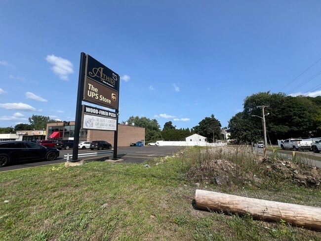
Property Record
1268 Broadway, Saugus, MA 01906

Property Detail
1268 Broadway
SAUG-000006D-000003-000002
Essex
Storebuilding
Massachusetts
NA
2
A Areas with a 1% annual chance of flooding and a 26% chance of flooding over the life of a 30-year mortgage.
0.76 AC
2025
Saugus/Lynn
2025
Boston
208200
Boston-Cambridge-Newton, MA-NH
7,960 SF
NEARBY LISTINGS FOR SALE OR LEASE
DEMOGRAPHICS near 1268 Broadway
1 mile
3 mile
5 mile
2025 Total Population
13,625
158,764
456,832
2030 Population
14,085
161,704
465,124
Pop Growth 2025-2030
+ 3.38%
+ 1.85%
+ 1.82%
Average Age
42
41
40
2025 Total Households
5,545
60,082
171,593
HH Growth 2025-2030
+ 3.46%
+ 2.03%
+ 2.08%
Median Household Inc
$100,399
$99,016
$92,537
Avg Household Size
2.40
2.60
2.60
2025 Avg HH Vehicles
2.00
2.00
1.00
Median Home Value
$651,247
$687,015
$678,061
Median Year Built
1965
1954
1952
Nearby Places
Map Layers
Map Styles
 Street
 Aerial
Transit
 Traffic
 Biking
Places
Listings with unknown addresses are not visible on the map
- Restaurants
- Banks
- Shops
- Fitness
- Groceries
PUBLIC TRANSPORTATION
COMMUTER RAIL
Melrose/Cedar Park (Haverhill Line - Massachusetts Bay Transportation Authority Commuter Rail (Purple Line))
Drive
Walk
Distance
Melrose/Cedar Park (Haverhill Line - Massachusetts Bay Transportation Authority Commuter Rail (Purple Line))
7 min
3.2 mi
Wyoming Hill (Haverhill Line - Massachusetts Bay Transportation Authority Commuter Rail (Purple Line))
Drive
Walk
Distance
Wyoming Hill (Haverhill Line - Massachusetts Bay Transportation Authority Commuter Rail (Purple Line))
7 min
3.2 mi
AIRPORT
General Edward Lawrence Logan International
Drive
Walk
Distance
General Edward Lawrence Logan International
17 min
9.3 mi
Manchester Boston Regional
Drive
Walk
Distance
Manchester Boston Regional
69 min
47.6 mi
Freight Ports
Port of Boston
Drive
Walk
Distance
Port of Boston
20 min
12.3 mi
SALE & LEASE HISTORY
LISTING DATE
SALE/LEASE

Mar 08, 2023
For Lease
Jun 29, 2022
For Sale
Aug 12, 2024
For Sale
Nearby Properties
Address
Land Use
TOTAL SIZE
Lot Size
Zoning
Address
Land Use
TOTAL SIZE
Lot Size
Zoning
8 AC
HB
Address
Land Use
TOTAL SIZE
Lot Size
Zoning
297,396 SF
2.79 AC
CTED
Address
Land Use
TOTAL SIZE
Lot Size
Zoning
6.73 AC
HB
Address
Land Use
TOTAL SIZE
Lot Size
Zoning
19,308 SF
82.36 AC
NA
Address
Land Use
TOTAL SIZE
Lot Size
Zoning
195,446 SF
12.98 AC
R2
Address
Land Use
TOTAL SIZE
Lot Size
Zoning
224,840 SF
2.18 AC
RC1
Address
Land Use
TOTAL SIZE
Lot Size
Zoning
454,752 SF
6.22 AC
Address
Land Use
TOTAL SIZE
Lot Size
Zoning
194,880 SF
35.42 AC
NA
Address
Land Use
TOTAL SIZE
Lot Size
Zoning
359,892 SF
9.06 AC
Address
Land Use
TOTAL SIZE
Lot Size
Zoning
277,750 SF
13.47 AC
LI
Address
Land Use
TOTAL SIZE
Lot Size
Zoning
6.02 AC
TED
Address
Land Use
TOTAL SIZE
Lot Size
Zoning
269,070 SF
21.74 AC
NA
Address
Land Use
TOTAL SIZE
Lot Size
Zoning
330,020 SF
7.32 AC
NA
Address
Land Use
TOTAL SIZE
Lot Size
Zoning
362,970 SF
8.36 AC
BH
Address
Land Use
TOTAL SIZE
Lot Size
Zoning
214,337 SF
1.42 AC
CB
Address
Land Use
TOTAL SIZE
Lot Size
Zoning
241,299 SF
10.26 AC
RB
Address
Land Use
TOTAL SIZE
Lot Size
Zoning
334,150 SF
28 AC
NA
Address
Land Use
TOTAL SIZE
Lot Size
Zoning
144,848 SF
13.85 AC
IP
Address
Land Use
TOTAL SIZE
Lot Size
Zoning
5.15 AC
Address
Land Use
TOTAL SIZE
Lot Size
Zoning
8.47 AC
PC
Address
Land Use
TOTAL SIZE
Lot Size
Zoning
14.69 AC
RESC
Address
Land Use
TOTAL SIZE
Lot Size
Zoning
196,356 SF
6.20 AC
RQ1
Address
Land Use
TOTAL SIZE
Lot Size
Zoning
11.80 AC
Address
Land Use
TOTAL SIZE
Lot Size
Zoning
169,840 SF
16.70 AC
NA
Address
Land Use
TOTAL SIZE
Lot Size
Zoning
3.99 AC
Address
Land Use
TOTAL SIZE
Lot Size
Zoning
14.52 AC
RESC
Address
Land Use
TOTAL SIZE
Lot Size
Zoning
514,553 SF
57.16 AC
R4
Address
Land Use
TOTAL SIZE
Lot Size
Zoning
267,277 SF
60 AC
MD
Address
Land Use
TOTAL SIZE
Lot Size
Zoning
24.85 AC
R4
Address
Land Use
TOTAL SIZE
Lot Size
Zoning
213,000 SF
2.97 AC
RESA
The World's #1 Commercial Real Estate Marketplace
Connect with us
© 2026 CoStar Group
The information above has been obtained from sources believed reliable. While we do not doubt its accuracy we have not verified it and make no guarantee, warranty or representation about it. It is your responsibility to independently confirm its accuracy and completeness. Any projections, opinions, assumptions, or estimates used are for example only and do not represent the current or future performance of the property. The value of this transaction to you depends on tax and other factors which should be evaluated by your tax, financial, and legal advisors. You and your advisors should conduct a careful, independent investigation of the property to determine to your satisfaction the suitability of the property for your needs.