Property Record
12682 Shiloh Church Rd, Houston, TX 77066
NEARBY LISTINGS FOR SALE OR LEASE
Property Detail
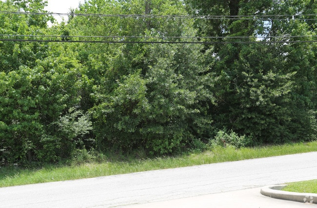
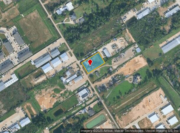
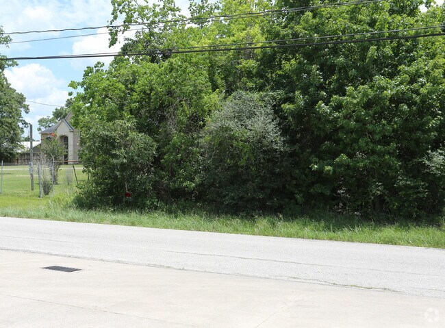
12682 Shiloh Church Rd
Houston-The Woodlands-Sugar Land, TX
Merribee Sood
1242770010001
Harris
Sfr
Texas
X
0.74 AC
48201C0435M
FM 1960/Champions
3,624 SF
Houston
DEMOGRAPHICS near 12682 Shiloh Church Rd
1 Mile
3 Mile
5 Mile
2024 Total Population
8,830
106,441
294,134
2029 Population
9,056
108,538
298,224
Pop Growth 2024-2029
+ 2.56%
+ 1.97%
+ 1.39%
Average Age
39
38
37
2024 Total Households
3,596
39,055
100,737
HH Growth 2024-2029
+ 2.64%
+ 2.01%
+ 1.42%
Median Household Inc
$79,721
$61,650
$68,647
Avg Household Size
2.40
2.70
2.80
2024 Avg HH Vehicles
2.00
2.00
2.00
Median Home Value
$294,502
$234,776
$222,951
Median Year Built
1985
1991
1989
Nearby Places
- Restaurants
- Banks
- Shops
- Fitness
- Groceries
PUBLIC TRANSPORTATION
AIRPORT
George Bush Intcntl/Houston
DRIVE
WALK
Distance
George Bush Intcntl/Houston
23 min
16.6 mi
William P Hobby
DRIVE
WALK
Distance
William P Hobby
52 min
32.0 mi
Freight Ports
Port of Houston
DRIVE
WALK
Distance
Port of Houston
44 min
30.0 mi
Nearby Properties
Address
Land Use
TOTAL SIZE
Lot Size
Zoning
Address
Land Use
TOTAL SIZE
Lot Size
Zoning
587,609 SF
42.44 AC
Address
Land Use
TOTAL SIZE
Lot Size
Zoning
778,140 SF
40.25 AC
Address
Land Use
TOTAL SIZE
Lot Size
Zoning
427,317 SF
14.16 AC
Address
Land Use
TOTAL SIZE
Lot Size
Zoning
445,343 SF
37.78 AC
Address
Land Use
TOTAL SIZE
Lot Size
Zoning
660,000 SF
104.88 AC
Address
Land Use
TOTAL SIZE
Lot Size
Zoning
227,400 SF
2.77 AC
Address
Land Use
TOTAL SIZE
Lot Size
Zoning
552,757 SF
32.95 AC
Address
Land Use
TOTAL SIZE
Lot Size
Zoning
388,333 SF
41.17 AC
Address
Land Use
TOTAL SIZE
Lot Size
Zoning
386,754 SF
17.99 AC
Address
Land Use
TOTAL SIZE
Lot Size
Zoning
546,420 SF
40.07 AC
Address
Land Use
TOTAL SIZE
Lot Size
Zoning
507,035 SF
24.90 AC
Address
Land Use
TOTAL SIZE
Lot Size
Zoning
263,640 SF
36.62 AC
Address
Land Use
TOTAL SIZE
Lot Size
Zoning
402,504 SF
31.93 AC
Address
Land Use
TOTAL SIZE
Lot Size
Zoning
551,524 SF
10.06 AC
Address
Land Use
TOTAL SIZE
Lot Size
Zoning
339,477 SF
13.54 AC
Address
Land Use
TOTAL SIZE
Lot Size
Zoning
267,094 SF
14.76 AC
Address
Land Use
TOTAL SIZE
Lot Size
Zoning
339,301 SF
68.40 AC
Address
Land Use
TOTAL SIZE
Lot Size
Zoning
365,711 SF
26.61 AC
Address
Land Use
TOTAL SIZE
Lot Size
Zoning
486,739 SF
19.92 AC
Address
Land Use
TOTAL SIZE
Lot Size
Zoning
262,163 SF
8.63 AC
Address
Land Use
TOTAL SIZE
Lot Size
Zoning
423,472 SF
28.91 AC
Address
Land Use
TOTAL SIZE
Lot Size
Zoning
441,000 SF
23.07 AC
Address
Land Use
TOTAL SIZE
Lot Size
Zoning
469,370 SF
19.39 AC
Address
Land Use
TOTAL SIZE
Lot Size
Zoning
326,807 SF
29.43 AC
Address
Land Use
TOTAL SIZE
Lot Size
Zoning
256,761 SF
8.78 AC
Address
Land Use
TOTAL SIZE
Lot Size
Zoning
351,235 SF
20.73 AC
Address
Land Use
TOTAL SIZE
Lot Size
Zoning
433,984 SF
17.82 AC
Address
Land Use
TOTAL SIZE
Lot Size
Zoning
260,253 SF
7.46 AC
Address
Land Use
TOTAL SIZE
Lot Size
Zoning
377,188 SF
16.80 AC
Address
Land Use
TOTAL SIZE
Lot Size
Zoning
237,742 SF
13.80 AC
The World's #1 Commercial Real Estate Marketplace
Connect with us
© 2025 CoStar Group
The information above has been obtained from sources believed reliable. While we do not doubt its accuracy we have not verified it and make no guarantee, warranty or representation about it. It is your responsibility to independently confirm its accuracy and completeness. Any projections, opinions, assumptions, or estimates used are for example only and do not represent the current or future performance of the property. The value of this transaction to you depends on tax and other factors which should be evaluated by your tax, financial, and legal advisors. You and your advisors should conduct a careful, independent investigation of the property to determine to your satisfaction the suitability of the property for your needs.