Property Record
12800 S 43Rd Ave, Laveen, AZ 85339


Property Detail
12800 S 43Rd Ave
300-07-005A
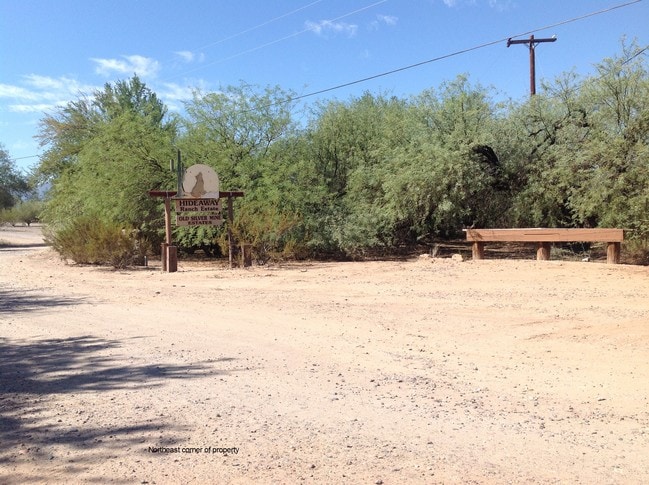
BEG 634.6F W NE COR LOT 9 (SE4 NE4) S 990F W 180F N 1200.4F TH NEL 182F S 240F TPOB EX ANY PT IN D1 & EX ANY PT P/D 86 415260
Multifamilydwelling
MARICOPA
R-35
Arizona
C and X Area of minimal flood hazard, usually depicted on FIRMs as above the 500-year flood level.
9
2025
18.58 AC
2025
Southwest Phoenix
116611
Phoenix
10,202 SF
Phoenix-Mesa-Chandler, AZ
NEARBY LISTINGS FOR SALE OR LEASE
-
-
View all Laveen listings for sale on LoopNet.com
DEMOGRAPHICS near 12800 S 43Rd Ave
1 mile
3 mile
5 mile
2025 Total Population
618
20,444
93,087
2030 Population
688
22,087
97,799
Pop Growth 2025-2030
+ 11.33%
+ 8.04%
+ 5.06%
Average Age
40
37
36
2025 Total Households
192
5,977
26,738
HH Growth 2025-2030
+ 11.46%
+ 8.27%
+ 5.18%
Median Household Inc
$110,937
$117,031
$106,461
Avg Household Size
3.00
3.30
3.40
2025 Avg HH Vehicles
2.00
3.00
2.00
Median Home Value
$586,956
$501,186
$461,251
Median Year Built
2010
2008
2005
Nearby Places
Map Layers
Map Styles
 Street
 Aerial
Layers
 Traffic
 Biking
Places
Listings with unknown addresses are not visible on the map
- Restaurants
- Banks
- Shops
- Fitness
- Groceries
PUBLIC TRANSPORTATION
AIRPORT
Phoenix Sky Harbor International
Drive
Walk
Distance
Phoenix Sky Harbor International
35 min
16.1 mi
Phoenix-Mesa Gateway
Drive
Walk
Distance
Phoenix-Mesa Gateway
48 min
34.1 mi
Freight Ports
Port of San Diego
Drive
Walk
Distance
Port of San Diego
404 min
359.2 mi
SALE & LEASE HISTORY
LISTING DATE
SALE/LEASE

Sep 24, 2016
For Sale
Nearby Properties
Address
Land Use
TOTAL SIZE
Lot Size
Zoning
Address
Land Use
TOTAL SIZE
Lot Size
Zoning
95,854 SF
15.11 AC
R-43AG
Address
Land Use
TOTAL SIZE
Lot Size
Zoning
416,645 SF
18.80 AC
M-H
Address
Land Use
TOTAL SIZE
Lot Size
Zoning
101,619 SF
13.71 AC
R-8
Address
Land Use
TOTAL SIZE
Lot Size
Zoning
96,409 SF
14.63 AC
S1
Address
Land Use
TOTAL SIZE
Lot Size
Zoning
164,212 SF
11.81 AC
R-8
Address
Land Use
TOTAL SIZE
Lot Size
Zoning
75,877 SF
7.91 AC
R-43AG
Address
Land Use
TOTAL SIZE
Lot Size
Zoning
4,056 SF
4.62 AC
C-G
Address
Land Use
TOTAL SIZE
Lot Size
Zoning
53,188 SF
19.06 AC
R-43
Address
Land Use
TOTAL SIZE
Lot Size
Zoning
11,530 SF
18.23 AC
RU43
Address
Land Use
TOTAL SIZE
Lot Size
Zoning
26.17 AC
Address
Land Use
TOTAL SIZE
Lot Size
Zoning
26,742 SF
3.64 AC
R-43
Address
Land Use
TOTAL SIZE
Lot Size
Zoning
9.09 AC
Address
Land Use
TOTAL SIZE
Lot Size
Zoning
0.93 AC
Address
Land Use
TOTAL SIZE
Lot Size
Zoning
13,650 SF
0.94 AC
C-C
Address
Land Use
TOTAL SIZE
Lot Size
Zoning
0.82 AC
R-43AG
Address
Land Use
TOTAL SIZE
Lot Size
Zoning
1.02 AC
Address
Land Use
TOTAL SIZE
Lot Size
Zoning
0.65 AC
R-43AG
Address
Land Use
TOTAL SIZE
Lot Size
Zoning
58.95 AC
R1-18
Address
Land Use
TOTAL SIZE
Lot Size
Zoning
1,820 SF
29.64 AC
R-43
Address
Land Use
TOTAL SIZE
Lot Size
Zoning
6,960 SF
1.28 AC
R-43
The World's #1 Commercial Real Estate Marketplace
Connect with us
© 2026 CoStar Group
The information above has been obtained from sources believed reliable. While we do not doubt its accuracy we have not verified it and make no guarantee, warranty or representation about it. It is your responsibility to independently confirm its accuracy and completeness. Any projections, opinions, assumptions, or estimates used are for example only and do not represent the current or future performance of the property. The value of this transaction to you depends on tax and other factors which should be evaluated by your tax, financial, and legal advisors. You and your advisors should conduct a careful, independent investigation of the property to determine to your satisfaction the suitability of the property for your needs.