Property Record
12801 Colorado Blvd, Thornton, CO 80241
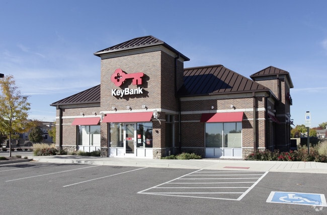


Property Detail
12801 Colorado Blvd
1573-25-4-05-120
SUB:LAKE VILLAGE CENTER 1ST AMENDMENT BLK:1 DESC: PARCEL 1
Miscellaneous
Adams
B and X Area of moderate flood hazard, usually the area between the limits of the 100-year and 500-year floods.
Colorado
2024
1.12 AC
2025
Northeast
008545
Denver
4,373 SF
Denver-Aurora-Centennial, CO
NEARBY LISTINGS FOR SALE OR LEASE
DEMOGRAPHICS near 12801 Colorado Blvd
1 mile
3 mile
5 mile
2025 Total Population
19,928
110,813
218,482
2030 Population
20,645
114,770
226,492
Pop Growth 2025-2030
+ 3.60%
+ 3.57%
+ 3.67%
Average Age
39
38
38
2025 Total Households
7,127
39,047
77,928
HH Growth 2025-2030
+ 4.03%
+ 3.89%
+ 3.98%
Median Household Inc
$117,762
$112,283
$111,070
Avg Household Size
2.70
2.80
2.80
2025 Avg HH Vehicles
2.00
2.00
2.00
Median Home Value
$569,277
$592,827
$570,804
Median Year Built
1993
1996
1996
Nearby Places
Map Layers
Map Styles
 Street
 Aerial
Layers
 Traffic
 Biking
Places
Listings with unknown addresses are not visible on the map
- Restaurants
- Banks
- Shops
- Fitness
- Groceries
PUBLIC TRANSPORTATION
COMMUTER RAIL
Drive
Walk
Distance
4 min
1.6 mi
Drive
Walk
Distance
7 min
2.8 mi
AIRPORT
Denver International
Drive
Walk
Distance
Denver International
31 min
23.9 mi
SALE & LEASE HISTORY
LISTING DATE
SALE/LEASE

Aug 01, 2023
For Sale
Apr 02, 2024
For Sale
Nearby Properties
Address
Land Use
TOTAL SIZE
Lot Size
Zoning
Address
Land Use
TOTAL SIZE
Lot Size
Zoning
332,908 SF
10.49 AC
Address
Land Use
TOTAL SIZE
Lot Size
Zoning
424,498 SF
42.85 AC
Address
Land Use
TOTAL SIZE
Lot Size
Zoning
271,772 SF
21.57 AC
Address
Land Use
TOTAL SIZE
Lot Size
Zoning
506,255 SF
19.10 AC
Address
Land Use
TOTAL SIZE
Lot Size
Zoning
290,566 SF
54.61 AC
Address
Land Use
TOTAL SIZE
Lot Size
Zoning
244,459 SF
50.30 AC
Address
Land Use
TOTAL SIZE
Lot Size
Zoning
512,780 SF
25.11 AC
Address
Land Use
TOTAL SIZE
Lot Size
Zoning
1 SF
13.55 AC
Address
Land Use
TOTAL SIZE
Lot Size
Zoning
428,341 SF
22.35 AC
Address
Land Use
TOTAL SIZE
Lot Size
Zoning
153,301 SF
26.75 AC
Address
Land Use
TOTAL SIZE
Lot Size
Zoning
547,908 SF
12.24 AC
Address
Land Use
TOTAL SIZE
Lot Size
Zoning
149,769 SF
20.71 AC
Address
Land Use
TOTAL SIZE
Lot Size
Zoning
411,708 SF
22.39 AC
Address
Land Use
TOTAL SIZE
Lot Size
Zoning
150,494 SF
19.69 AC
PUDP
Address
Land Use
TOTAL SIZE
Lot Size
Zoning
325,764 SF
18.76 AC
Address
Land Use
TOTAL SIZE
Lot Size
Zoning
345,461 SF
15.99 AC
Address
Land Use
TOTAL SIZE
Lot Size
Zoning
311,274 SF
18.75 AC
Address
Land Use
TOTAL SIZE
Lot Size
Zoning
319,845 SF
20.66 AC
Address
Land Use
TOTAL SIZE
Lot Size
Zoning
162,240 SF
14.41 AC
Address
Land Use
TOTAL SIZE
Lot Size
Zoning
109,685 SF
11.51 AC
Address
Land Use
TOTAL SIZE
Lot Size
Zoning
120,471 SF
8.39 AC
Address
Land Use
TOTAL SIZE
Lot Size
Zoning
347,976 SF
11.91 AC
Address
Land Use
TOTAL SIZE
Lot Size
Zoning
290,841 SF
12.97 AC
Address
Land Use
TOTAL SIZE
Lot Size
Zoning
355,082 SF
12.29 AC
Address
Land Use
TOTAL SIZE
Lot Size
Zoning
86,977 SF
4.14 AC
Address
Land Use
TOTAL SIZE
Lot Size
Zoning
235,690 SF
24.97 AC
Address
Land Use
TOTAL SIZE
Lot Size
Zoning
60,330 SF
5.77 AC
Address
Land Use
TOTAL SIZE
Lot Size
Zoning
309,520 SF
10.84 AC
Address
Land Use
TOTAL SIZE
Lot Size
Zoning
311,757 SF
20.47 AC
Address
Land Use
TOTAL SIZE
Lot Size
Zoning
289,062 SF
13.74 AC
The World's #1 Commercial Real Estate Marketplace
Connect with us
© 2026 CoStar Group
The information above has been obtained from sources believed reliable. While we do not doubt its accuracy we have not verified it and make no guarantee, warranty or representation about it. It is your responsibility to independently confirm its accuracy and completeness. Any projections, opinions, assumptions, or estimates used are for example only and do not represent the current or future performance of the property. The value of this transaction to you depends on tax and other factors which should be evaluated by your tax, financial, and legal advisors. You and your advisors should conduct a careful, independent investigation of the property to determine to your satisfaction the suitability of the property for your needs.