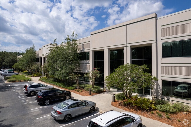
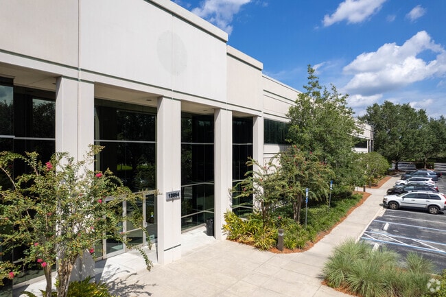
Property Record
12854 Kenan Dr, Jacksonville, FL 32258

NEARBY LISTINGS FOR SALE OR LEASE
Property Detail
12854 Kenan Dr
Jacksonville, FL
Gran Park At Jacksonville Tract C R/P
168083-4835
62-43 19-4S-28E 8.85 GRAN PARK AT JACKSONVILLE TRACT C R/P LOT 7
Officebuilding
Duval
X
Florida
12031C0569H
7
2024
8.85 AC
2025
Butler Corridor
014423
Jacksonville (Florida)
100,876 SF
DEMOGRAPHICS near 12854 Kenan Dr
1 Mile
3 Mile
5 Mile
2024 Total Population
10,164
41,111
102,376
2029 Population
10,856
45,133
118,651
Pop Growth 2024-2029
+ 6.81%
+ 9.78%
+ 15.90%
Average Age
36
37
38
2024 Total Households
4,307
16,049
37,517
HH Growth 2024-2029
+ 6.78%
+ 9.00%
+ 14.47%
Median Household Inc
$84,939
$98,105
$104,286
Avg Household Size
2.30
2.50
2.70
2024 Avg HH Vehicles
2.00
2.00
2.00
Median Home Value
$259,051
$320,980
$357,524
Median Year Built
2010
2010
2007
Nearby Places
Map Layers
Map Styles
 Street
 Aerial
- Restaurants
- Banks
- Shops
- Fitness
- Groceries
PUBLIC TRANSPORTATION
AIRPORT
Jacksonville International
DRIVE
WALK
Distance
Jacksonville International
36 min
32.6 mi
Freight Ports
Jacksonville Port
DRIVE
WALK
Distance
Jacksonville Port
1 min
16.4 mi
SALE & LEASE HISTORY
LISTING DATE
SALE/LEASE

Sep 25, 2016
For Lease
Mar 10, 2021
For Lease
Aug 31, 2017
For Lease
Apr 04, 2018
For Lease
Nearby Properties
Address
Land Use
TOTAL SIZE
Lot Size
Zoning
Address
Land Use
TOTAL SIZE
Lot Size
Zoning
879,352 SF
31.37 AC
PUD
Address
Land Use
TOTAL SIZE
Lot Size
Zoning
534,591 SF
39.81 AC
PUD
Address
Land Use
TOTAL SIZE
Lot Size
Zoning
470,627 SF
21.61 AC
PUD
Address
Land Use
TOTAL SIZE
Lot Size
Zoning
450,888 SF
27.01 AC
PUD
Address
Land Use
TOTAL SIZE
Lot Size
Zoning
381,269 SF
25.73 AC
PUD
Address
Land Use
TOTAL SIZE
Lot Size
Zoning
243,751 SF
15.29 AC
PUD
Address
Land Use
TOTAL SIZE
Lot Size
Zoning
262,781 SF
11.40 AC
PUD
Address
Land Use
TOTAL SIZE
Lot Size
Zoning
340,852 SF
19.65 AC
PUD
Address
Land Use
TOTAL SIZE
Lot Size
Zoning
250,708 SF
13.52 AC
PUD
Address
Land Use
TOTAL SIZE
Lot Size
Zoning
311,304 SF
18.93 AC
PUD
Address
Land Use
TOTAL SIZE
Lot Size
Zoning
215,194 SF
58.34 AC
PUD
Address
Land Use
TOTAL SIZE
Lot Size
Zoning
298,018 SF
15.53 AC
PUD
Address
Land Use
TOTAL SIZE
Lot Size
Zoning
371,039 SF
20.63 AC
Address
Land Use
TOTAL SIZE
Lot Size
Zoning
212,510 SF
19.07 AC
CRO
Address
Land Use
TOTAL SIZE
Lot Size
Zoning
241,882 SF
10.83 AC
PUD
Address
Land Use
TOTAL SIZE
Lot Size
Zoning
427,236 SF
72.23 AC
PUD
Address
Land Use
TOTAL SIZE
Lot Size
Zoning
271,074 SF
17.77 AC
CCG-1
Address
Land Use
TOTAL SIZE
Lot Size
Zoning
288,257 SF
16.56 AC
Address
Land Use
TOTAL SIZE
Lot Size
Zoning
276,262 SF
10.01 AC
PUD
Address
Land Use
TOTAL SIZE
Lot Size
Zoning
264,962 SF
11.24 AC
PUD
Address
Land Use
TOTAL SIZE
Lot Size
Zoning
262,043 SF
10.89 AC
PUD
Address
Land Use
TOTAL SIZE
Lot Size
Zoning
289,228 SF
38.96 AC
Address
Land Use
TOTAL SIZE
Lot Size
Zoning
356,254 SF
22.04 AC
PUD
Address
Land Use
TOTAL SIZE
Lot Size
Zoning
162,943 SF
7.36 AC
PUD
Address
Land Use
TOTAL SIZE
Lot Size
Zoning
119,560 SF
22.05 AC
PUD
Address
Land Use
TOTAL SIZE
Lot Size
Zoning
225,730 SF
42.22 AC
PBF-2
Address
Land Use
TOTAL SIZE
Lot Size
Zoning
360,341 SF
22.37 AC
PUD
Address
Land Use
TOTAL SIZE
Lot Size
Zoning
167,195 SF
7.56 AC
PUD
Address
Land Use
TOTAL SIZE
Lot Size
Zoning
78,903 SF
22.19 AC
Address
Land Use
TOTAL SIZE
Lot Size
Zoning
173,502 SF
16.18 AC
PUD
The World's #1 Commercial Real Estate Marketplace
Connect with us
© 2025 CoStar Group
The information above has been obtained from sources believed reliable. While we do not doubt its accuracy we have not verified it and make no guarantee, warranty or representation about it. It is your responsibility to independently confirm its accuracy and completeness. Any projections, opinions, assumptions, or estimates used are for example only and do not represent the current or future performance of the property. The value of this transaction to you depends on tax and other factors which should be evaluated by your tax, financial, and legal advisors. You and your advisors should conduct a careful, independent investigation of the property to determine to your satisfaction the suitability of the property for your needs.