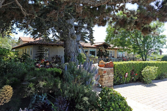
Property Record
129 10Th St, Del Mar, CA 92014


Property Detail
129 10Th St
San Diego-Chula Vista-Carlsbad, CA
BLK 9 LOTS 4 & 5 ST CLSD ADJ & TR 000368
300-171-04
San Diego
Multifamilydwelling
California
B and X Area of moderate flood hazard, usually the area between the limits of the 100-year and 500-year floods.
4,5
2024
0.37 AC
2025
Del Mar
017201
San Diego
5,544 SF
NEARBY LISTINGS FOR SALE OR LEASE
DEMOGRAPHICS near 129 10Th St
1 mile
3 mile
5 mile
2025 Total Population
6,412
45,842
94,585
2030 Population
6,617
46,660
95,442
Pop Growth 2025-2030
+ 3.20%
+ 1.78%
+ 0.91%
Average Age
48
43
42
2025 Total Households
2,906
19,233
36,685
HH Growth 2025-2030
+ 3.41%
+ 1.95%
+ 1.01%
Median Household Inc
$194,862
$182,797
$191,860
Avg Household Size
2.20
2.40
2.60
2025 Avg HH Vehicles
2.00
2.00
2.00
Median Home Value
$1,139,817
$1,112,133
$1,126,783
Median Year Built
1974
1985
1990
Nearby Places
Map Layers
Map Styles
 Street
 Aerial
Layers
 Traffic
 Biking
Places
Listings with unknown addresses are not visible on the map
- Restaurants
- Banks
- Shops
- Fitness
- Groceries
PUBLIC TRANSPORTATION
COMMUTER RAIL
Solana Beach (Coaster - San Diego North County Transit District (Coaster/Sprinter/Breeze))
Drive
Walk
Distance
Solana Beach (Coaster - San Diego North County Transit District (Coaster/Sprinter/Breeze))
7 min
3.0 mi
Sorrento Valley (Coaster - San Diego North County Transit District (Coaster/Sprinter/Breeze))
Drive
Walk
Distance
Sorrento Valley (Coaster - San Diego North County Transit District (Coaster/Sprinter/Breeze))
10 min
5.2 mi
AIRPORT
San Diego International
Drive
Walk
Distance
San Diego International
25 min
18.0 mi
Freight Ports
Port of San Diego
Drive
Walk
Distance
Port of San Diego
31 min
22.5 mi
Nearby Properties
Address
Land Use
TOTAL SIZE
Lot Size
Zoning
Address
Land Use
TOTAL SIZE
Lot Size
Zoning
7.97 AC
CVPD-MC
Address
Land Use
TOTAL SIZE
Lot Size
Zoning
4.62 AC
IP-2-1
Address
Land Use
TOTAL SIZE
Lot Size
Zoning
9.60 AC
CVPD-EC
Address
Land Use
TOTAL SIZE
Lot Size
Zoning
70,334 SF
9.92 AC
CC-1-3
Address
Land Use
TOTAL SIZE
Lot Size
Zoning
4.02 AC
CVPD-MC
Address
Land Use
TOTAL SIZE
Lot Size
Zoning
39.61 AC
CVPD-MF2
Address
Land Use
TOTAL SIZE
Lot Size
Zoning
98,148 SF
8.85 AC
CVPD-MC
Address
Land Use
TOTAL SIZE
Lot Size
Zoning
5.26 AC
IP-2-1
Address
Land Use
TOTAL SIZE
Lot Size
Zoning
2.67 AC
CVPD-EC
Address
Land Use
TOTAL SIZE
Lot Size
Zoning
84,312 SF
2.92 AC
C
Address
Land Use
TOTAL SIZE
Lot Size
Zoning
9.85 AC
CVPD-EC
Address
Land Use
TOTAL SIZE
Lot Size
Zoning
71,369 SF
4.99 AC
CC-1-3
Address
Land Use
TOTAL SIZE
Lot Size
Zoning
6.84 AC
CVPD-VC
Address
Land Use
TOTAL SIZE
Lot Size
Zoning
5.76 AC
CVPD-EC
Address
Land Use
TOTAL SIZE
Lot Size
Zoning
1.81 AC
CVPD-VC
Address
Land Use
TOTAL SIZE
Lot Size
Zoning
16.54 AC
CVPD-MF3
Address
Land Use
TOTAL SIZE
Lot Size
Zoning
5.49 AC
CVPD-EC
Address
Land Use
TOTAL SIZE
Lot Size
Zoning
6.21 AC
IL-2-1
Address
Land Use
TOTAL SIZE
Lot Size
Zoning
81,721 SF
4.43 AC
CVPD-EC
Address
Land Use
TOTAL SIZE
Lot Size
Zoning
5.73 AC
CVPD-EC
Address
Land Use
TOTAL SIZE
Lot Size
Zoning
1.86 AC
CO-1-2
Address
Land Use
TOTAL SIZE
Lot Size
Zoning
91,869 SF
1.72 AC
C
Address
Land Use
TOTAL SIZE
Lot Size
Zoning
2.74 AC
CVPD-MF3
Address
Land Use
TOTAL SIZE
Lot Size
Zoning
71,644 SF
2.18 AC
C
Address
Land Use
TOTAL SIZE
Lot Size
Zoning
92,042 SF
1.73 AC
CVPD-MC
Address
Land Use
TOTAL SIZE
Lot Size
Zoning
5.83 AC
CVPD-EC
Address
Land Use
TOTAL SIZE
Lot Size
Zoning
98,954 SF
1.54 AC
RM-2-5
Address
Land Use
TOTAL SIZE
Lot Size
Zoning
5.63 AC
CV-1-1
Address
Land Use
TOTAL SIZE
Lot Size
Zoning
7.10 AC
IL-3-1
Address
Land Use
TOTAL SIZE
Lot Size
Zoning
74,895 SF
3.96 AC
CVPD-EC
The World's #1 Commercial Real Estate Marketplace
Connect with us
© 2026 CoStar Group
The information above has been obtained from sources believed reliable. While we do not doubt its accuracy we have not verified it and make no guarantee, warranty or representation about it. It is your responsibility to independently confirm its accuracy and completeness. Any projections, opinions, assumptions, or estimates used are for example only and do not represent the current or future performance of the property. The value of this transaction to you depends on tax and other factors which should be evaluated by your tax, financial, and legal advisors. You and your advisors should conduct a careful, independent investigation of the property to determine to your satisfaction the suitability of the property for your needs.