Property Record
129 Endicott St, Danvers, MA 01923
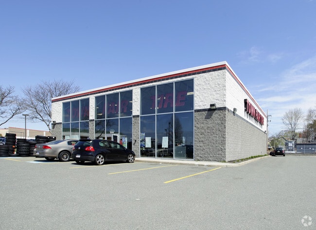

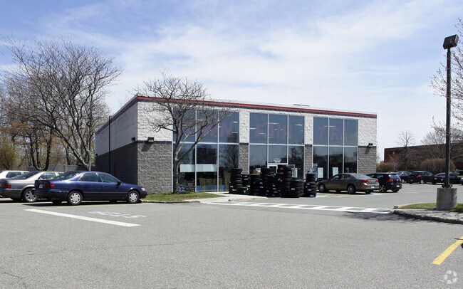
Property Detail
129 Endicott St
DANV-000063-000000-000002A
Essex
Storebuilding
Massachusetts
C3
2a
B and X Area of moderate flood hazard, usually the area between the limits of the 100-year and 500-year floods.
0.68 AC
2025
Danvers/Beverly
2025
Boston
211100
Boston-Cambridge-Newton, MA-NH
6,000 SF
NEARBY LISTINGS FOR SALE OR LEASE
DEMOGRAPHICS near 129 Endicott St
1 mile
3 mile
5 mile
2025 Total Population
8,545
109,408
216,110
2030 Population
8,731
111,688
221,120
Pop Growth 2025-2030
+ 2.18%
+ 2.08%
+ 2.32%
Average Age
43
43
43
2025 Total Households
3,506
47,289
86,982
HH Growth 2025-2030
+ 2.11%
+ 2.07%
+ 2.28%
Median Household Inc
$98,532
$91,804
$100,206
Avg Household Size
2.30
2.20
2.40
2025 Avg HH Vehicles
2.00
2.00
2.00
Median Home Value
$668,176
$639,989
$671,777
Median Year Built
1958
1957
1960
Nearby Places
Map Layers
Map Styles
 Street
 Aerial
Transit
 Traffic
 Biking
Places
Listings with unknown addresses are not visible on the map
- Restaurants
- Banks
- Shops
- Fitness
- Groceries
Nearby Properties
Address
Land Use
TOTAL SIZE
Lot Size
Zoning
Address
Land Use
TOTAL SIZE
Lot Size
Zoning
48.89 AC
IG
Address
Land Use
TOTAL SIZE
Lot Size
Zoning
10,368 SF
33.83 AC
R3
Address
Land Use
TOTAL SIZE
Lot Size
Zoning
252,965 SF
56.44 AC
R3
Address
Land Use
TOTAL SIZE
Lot Size
Zoning
14.69 AC
I
Address
Land Use
TOTAL SIZE
Lot Size
Zoning
17 AC
R4
Address
Land Use
TOTAL SIZE
Lot Size
Zoning
9,860 SF
17.80 AC
R1
Address
Land Use
TOTAL SIZE
Lot Size
Zoning
192,341 SF
2.10 AC
B5
Address
Land Use
TOTAL SIZE
Lot Size
Zoning
49 AC
I2
Address
Land Use
TOTAL SIZE
Lot Size
Zoning
267,051 SF
41.08 AC
R10
Address
Land Use
TOTAL SIZE
Lot Size
Zoning
17.60 AC
R1A
Address
Land Use
TOTAL SIZE
Lot Size
Zoning
13.04 AC
HC
Address
Land Use
TOTAL SIZE
Lot Size
Zoning
9.71 AC
BR
Address
Land Use
TOTAL SIZE
Lot Size
Zoning
231,509 SF
17.71 AC
R10
Address
Land Use
TOTAL SIZE
Lot Size
Zoning
172.50 AC
R3
Address
Land Use
TOTAL SIZE
Lot Size
Zoning
49.85 AC
R1B
Address
Land Use
TOTAL SIZE
Lot Size
Zoning
182,122 SF
23.33 AC
R10
Address
Land Use
TOTAL SIZE
Lot Size
Zoning
206.65 AC
R1B
Address
Land Use
TOTAL SIZE
Lot Size
Zoning
207,237 SF
16.73 AC
RMD
Address
Land Use
TOTAL SIZE
Lot Size
Zoning
11.08 AC
R4
Address
Land Use
TOTAL SIZE
Lot Size
Zoning
223,689 SF
11.60 AC
R1
Address
Land Use
TOTAL SIZE
Lot Size
Zoning
59.99 AC
IP
Address
Land Use
TOTAL SIZE
Lot Size
Zoning
195,527 SF
16.60 AC
CG
Address
Land Use
TOTAL SIZE
Lot Size
Zoning
25.72 AC
IP
Address
Land Use
TOTAL SIZE
Lot Size
Zoning
170,652 SF
23.73 AC
HD
Address
Land Use
TOTAL SIZE
Lot Size
Zoning
408,207 SF
37.12 AC
C3
Address
Land Use
TOTAL SIZE
Lot Size
Zoning
4.14 AC
NRCC
Address
Land Use
TOTAL SIZE
Lot Size
Zoning
358,662 SF
36.98 AC
IR
Address
Land Use
TOTAL SIZE
Lot Size
Zoning
28.30 AC
IP
Address
Land Use
TOTAL SIZE
Lot Size
Zoning
162,182 SF
9.53 AC
IR
Address
Land Use
TOTAL SIZE
Lot Size
Zoning
111.24 AC
R3
The World's #1 Commercial Real Estate Marketplace
Connect with us
© 2026 CoStar Group
The information above has been obtained from sources believed reliable. While we do not doubt its accuracy we have not verified it and make no guarantee, warranty or representation about it. It is your responsibility to independently confirm its accuracy and completeness. Any projections, opinions, assumptions, or estimates used are for example only and do not represent the current or future performance of the property. The value of this transaction to you depends on tax and other factors which should be evaluated by your tax, financial, and legal advisors. You and your advisors should conduct a careful, independent investigation of the property to determine to your satisfaction the suitability of the property for your needs.