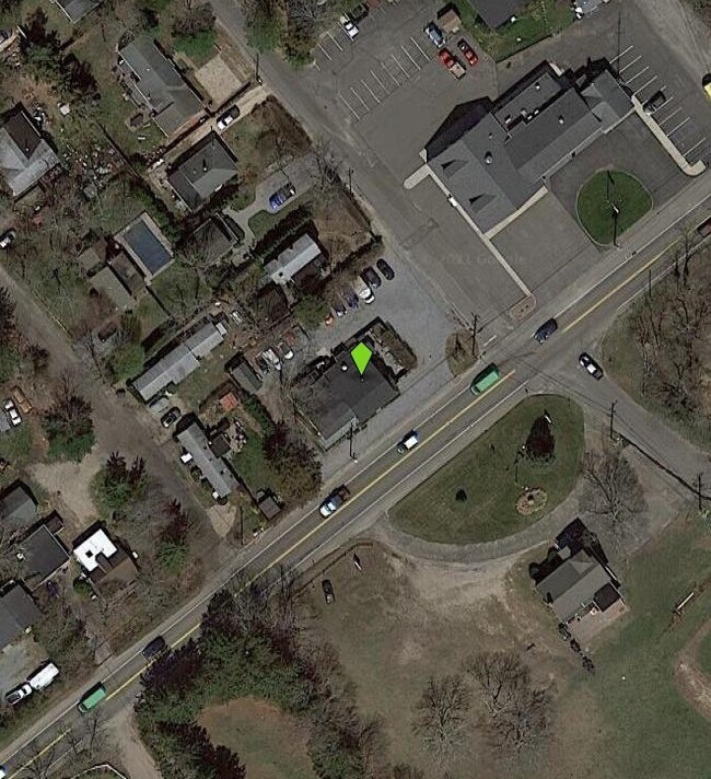
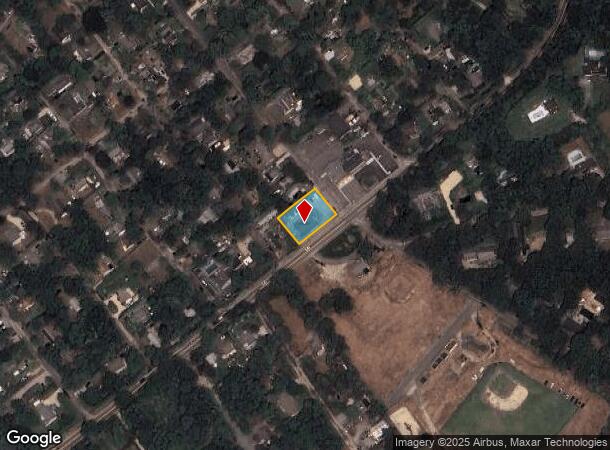
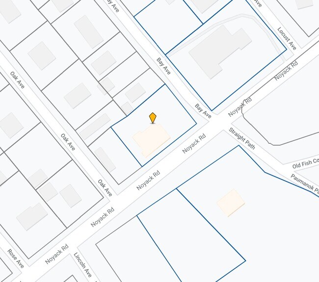
Property Record
129 Noyack Rd, Southampton, NY 11968
NEARBY LISTINGS FOR SALE OR LEASE
Property Detail
129 Noyack Rd
Nassau County-Suffolk County, NY
North Sea Park
0900-076-00-04-00-024-000
HOGANS88 LD EQ + 100/I100
Restaurantbuilding
Suffolk
X
New York
36103C0516H
24
0
0.32 AC
2024
Eastern Suffolk
190706
Long Island (New York)
2,136 SF
DEMOGRAPHICS near 129 Noyack Rd
1 Mile
3 Mile
5 Mile
2024 Total Population
2,693
13,126
30,339
2029 Population
2,860
13,875
32,229
Pop Growth 2024-2029
+ 6.20%
+ 5.71%
+ 6.23%
Average Age
43
44
44
2024 Total Households
1,042
5,100
11,670
HH Growth 2024-2029
+ 6.14%
+ 5.63%
+ 6.22%
Median Household Inc
$137,093
$134,147
$139,719
Avg Household Size
2.50
2.50
2.50
2024 Avg HH Vehicles
2.00
2.00
2.00
Median Home Value
$907,567
$1,014,787
$1,044,311
Median Year Built
1980
1983
1982
Nearby Places
- Restaurants
- Banks
- Shops
- Fitness
- Groceries
PUBLIC TRANSPORTATION
COMMUTER RAIL
Southampton Station (Montauk Branch - Long Island Rail Road)
DRIVE
WALK
Distance
Southampton Station (Montauk Branch - Long Island Rail Road)
7 min
3.8 mi
Bridgehampton Station (Montauk Branch - Long Island Rail Road)
DRIVE
WALK
Distance
Bridgehampton Station (Montauk Branch - Long Island Rail Road)
18 min
8.1 mi
Freight Ports
Port of New Haven
DRIVE
WALK
Distance
Port of New Haven
175 min
78.1 mi
Nearby Properties
Address
Land Use
TOTAL SIZE
Lot Size
Zoning
Address
Land Use
TOTAL SIZE
Lot Size
Zoning
2,164.20 AC
H2O
Address
Land Use
TOTAL SIZE
Lot Size
Zoning
8.70 AC
VILLA
Address
Land Use
TOTAL SIZE
Lot Size
Zoning
867 AC
H2O
Address
Land Use
TOTAL SIZE
Lot Size
Zoning
127,866 SF
5.70 AC
VILLA
Address
Land Use
TOTAL SIZE
Lot Size
Zoning
4,670 SF
238.30 AC
SMUPD
Address
Land Use
TOTAL SIZE
Lot Size
Zoning
73,470 SF
122.50 AC
OSC
Address
Land Use
TOTAL SIZE
Lot Size
Zoning
377 AC
H2O
Address
Land Use
TOTAL SIZE
Lot Size
Zoning
23,316 SF
202.05 AC
R120
Address
Land Use
TOTAL SIZE
Lot Size
Zoning
45.91 AC
CR120
Address
Land Use
TOTAL SIZE
Lot Size
Zoning
45 AC
CR120
Address
Land Use
TOTAL SIZE
Lot Size
Zoning
276.90 AC
H2O
Address
Land Use
TOTAL SIZE
Lot Size
Zoning
11 AC
VILLA
Address
Land Use
TOTAL SIZE
Lot Size
Zoning
123,212 SF
185.30 AC
R120
Address
Land Use
TOTAL SIZE
Lot Size
Zoning
8.51 AC
LI40
Address
Land Use
TOTAL SIZE
Lot Size
Zoning
1,800 SF
43.50 AC
R20
Address
Land Use
TOTAL SIZE
Lot Size
Zoning
7,725 SF
5.80 AC
R60
Address
Land Use
TOTAL SIZE
Lot Size
Zoning
55.20 AC
R80
Address
Land Use
TOTAL SIZE
Lot Size
Zoning
Address
Land Use
TOTAL SIZE
Lot Size
Zoning
50 AC
OSC
Address
Land Use
TOTAL SIZE
Lot Size
Zoning
42.60 AC
OSC
Address
Land Use
TOTAL SIZE
Lot Size
Zoning
177.40 AC
H2O
Address
Land Use
TOTAL SIZE
Lot Size
Zoning
170 AC
H2O
Address
Land Use
TOTAL SIZE
Lot Size
Zoning
164.80 AC
H2O
Address
Land Use
TOTAL SIZE
Lot Size
Zoning
11,530 SF
74.89 AC
R120
Address
Land Use
TOTAL SIZE
Lot Size
Zoning
34 AC
CR120
Address
Land Use
TOTAL SIZE
Lot Size
Zoning
54.20 AC
OSC
Address
Land Use
TOTAL SIZE
Lot Size
Zoning
48,420 SF
3.80 AC
LI40
Address
Land Use
TOTAL SIZE
Lot Size
Zoning
20,200 SF
2.40 AC
HB
Address
Land Use
TOTAL SIZE
Lot Size
Zoning
31,500 SF
1 AC
LI40
Address
Land Use
TOTAL SIZE
Lot Size
Zoning
25.68 AC
CR120
The World's #1 Commercial Real Estate Marketplace
Connect with us
© 2025 CoStar Group
The information above has been obtained from sources believed reliable. While we do not doubt its accuracy we have not verified it and make no guarantee, warranty or representation about it. It is your responsibility to independently confirm its accuracy and completeness. Any projections, opinions, assumptions, or estimates used are for example only and do not represent the current or future performance of the property. The value of this transaction to you depends on tax and other factors which should be evaluated by your tax, financial, and legal advisors. You and your advisors should conduct a careful, independent investigation of the property to determine to your satisfaction the suitability of the property for your needs.