Property Record
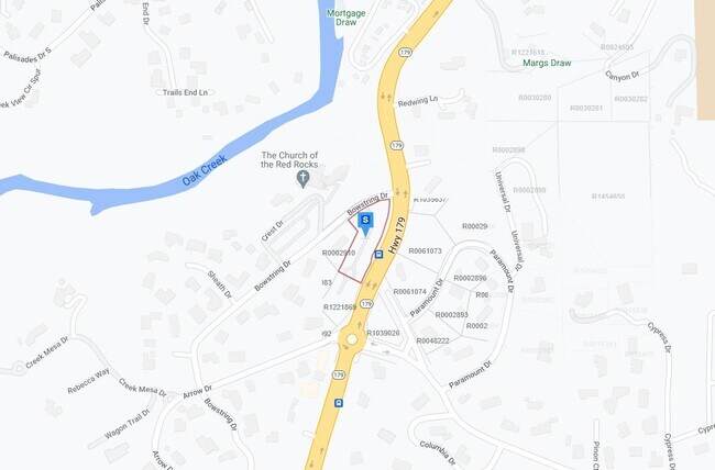
1294 State Route 179, Sedona, AZ 86336

Property Detail
1294 State Route 179
Flagstaff, AZ
SIXTEENTH: SW QUARTER: SE SECTION: 18 TOWNSHIP: 17N RANGE: 06E DESC AS FLLWS: BEG AT MOST SLY COR LOT 80 FAIRVIEW HEIGHTS PLAT 2; TH N 26D43M28S E 17.92 TO POB; TH N 26D 43M28S E 203; TH N 40D30M13S W 77.24; TH NELY ALNG SELY R/W BOW STRING DR BEING
401-25-002N
COCONINO
Religious
Arizona
B and X Area of moderate flood hazard, usually the area between the limits of the 100-year and 500-year floods.
80
0
1.15 AC
2025
Prescott & Sedona
001804
Other Market Areas
NEARBY LISTINGS FOR SALE OR LEASE
-
-
View all Sedona listings for sale on LoopNet.com
DEMOGRAPHICS near 1294 State Route 179
1 mile
3 mile
5 mile
2025 Total Population
1,086
10,079
17,938
2030 Population
1,123
10,600
19,047
Pop Growth 2025-2030
+ 3.41%
+ 5.17%
+ 6.18%
Average Age
59
57
57
2025 Total Households
578
5,157
9,208
HH Growth 2025-2030
+ 2.60%
+ 4.85%
+ 6.04%
Median Household Inc
$52,045
$69,366
$72,730
Avg Household Size
1.90
1.90
1.90
2025 Avg HH Vehicles
2.00
2.00
2.00
Median Home Value
$898,026
$797,625
$778,821
Median Year Built
1988
1988
1990
Nearby Places
Map Layers
Map Styles
 Street
 Aerial
Transit
 Traffic
 Biking
Places
Listings with unknown addresses are not visible on the map
- Restaurants
- Banks
- Shops
- Fitness
- Groceries
PUBLIC TRANSPORTATION
AIRPORT
Flagstaff Pulliam
Drive
Walk
Distance
Flagstaff Pulliam
52 min
27.3 mi
Freight Ports
Port of San Diego
Drive
Walk
Distance
Port of San Diego
504 min
458.8 mi
Nearby Properties
Address
Land Use
TOTAL SIZE
Lot Size
Zoning
Address
Land Use
TOTAL SIZE
Lot Size
Zoning
1 SF
23.98 AC
Address
Land Use
TOTAL SIZE
Lot Size
Zoning
71,345 SF
4.70 AC
Address
Land Use
TOTAL SIZE
Lot Size
Zoning
97,885 SF
10.15 AC
Address
Land Use
TOTAL SIZE
Lot Size
Zoning
42,008 SF
4.99 AC
Address
Land Use
TOTAL SIZE
Lot Size
Zoning
44,792 SF
3.69 AC
Address
Land Use
TOTAL SIZE
Lot Size
Zoning
33,373 SF
3.33 AC
Address
Land Use
TOTAL SIZE
Lot Size
Zoning
22,132 SF
1.23 AC
Address
Land Use
TOTAL SIZE
Lot Size
Zoning
27,684 SF
1.61 AC
Address
Land Use
TOTAL SIZE
Lot Size
Zoning
109,033 SF
11.36 AC
Address
Land Use
TOTAL SIZE
Lot Size
Zoning
20,404 SF
1.12 AC
Address
Land Use
TOTAL SIZE
Lot Size
Zoning
8,000 SF
20.08 AC
Address
Land Use
TOTAL SIZE
Lot Size
Zoning
29,489 SF
2.33 AC
Address
Land Use
TOTAL SIZE
Lot Size
Zoning
27,176 SF
1.77 AC
Address
Land Use
TOTAL SIZE
Lot Size
Zoning
10,489 SF
0.73 AC
Address
Land Use
TOTAL SIZE
Lot Size
Zoning
12,780 SF
5.28 AC
Address
Land Use
TOTAL SIZE
Lot Size
Zoning
29,691 SF
2.66 AC
Address
Land Use
TOTAL SIZE
Lot Size
Zoning
57,544 SF
2.70 AC
Address
Land Use
TOTAL SIZE
Lot Size
Zoning
20,012 SF
1.57 AC
Address
Land Use
TOTAL SIZE
Lot Size
Zoning
24,650 SF
2.14 AC
Address
Land Use
TOTAL SIZE
Lot Size
Zoning
13,324 SF
1.61 AC
Address
Land Use
TOTAL SIZE
Lot Size
Zoning
17,069 SF
2.31 AC
Address
Land Use
TOTAL SIZE
Lot Size
Zoning
13,155 SF
1.66 AC
Address
Land Use
TOTAL SIZE
Lot Size
Zoning
14,800 SF
0.86 AC
Address
Land Use
TOTAL SIZE
Lot Size
Zoning
17,505 SF
2 AC
Address
Land Use
TOTAL SIZE
Lot Size
Zoning
10,019 SF
1.30 AC
Address
Land Use
TOTAL SIZE
Lot Size
Zoning
24,508 SF
0.64 AC
Address
Land Use
TOTAL SIZE
Lot Size
Zoning
606 SF
7.88 AC
Address
Land Use
TOTAL SIZE
Lot Size
Zoning
9,457 SF
1.06 AC
Address
Land Use
TOTAL SIZE
Lot Size
Zoning
11,219 SF
2.03 AC
Address
Land Use
TOTAL SIZE
Lot Size
Zoning
22,134 SF
15.01 AC
The World's #1 Commercial Real Estate Marketplace
Connect with us
© 2026 CoStar Group
The information above has been obtained from sources believed reliable. While we do not doubt its accuracy we have not verified it and make no guarantee, warranty or representation about it. It is your responsibility to independently confirm its accuracy and completeness. Any projections, opinions, assumptions, or estimates used are for example only and do not represent the current or future performance of the property. The value of this transaction to you depends on tax and other factors which should be evaluated by your tax, financial, and legal advisors. You and your advisors should conduct a careful, independent investigation of the property to determine to your satisfaction the suitability of the property for your needs.