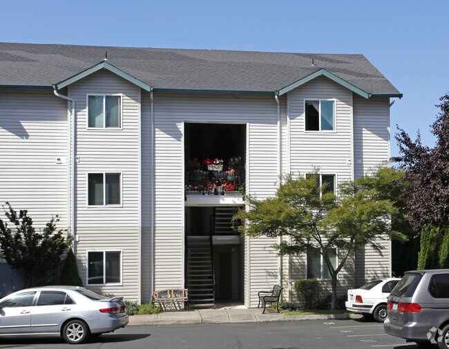
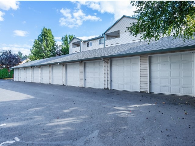
Property Record
12941 Se Foster Rd, Portland, OR 97236

Property Detail
12941 Se Foster Rd
R518959
PARTITION PLAT 2002-2, LOT 1
Multifamilydwelling
Multnomah
R2
Oregon
B and X Area of moderate flood hazard, usually the area between the limits of the 100-year and 500-year floods.
1
2025
1.24 AC
2025
Powellhurst-Gilbert
008904
Portland
32,790 SF
Portland-Vancouver-Hillsboro, OR-WA
NEARBY LISTINGS FOR SALE OR LEASE
DEMOGRAPHICS near 12941 Se Foster Rd
1 mile
3 mile
5 mile
2025 Total Population
14,689
135,235
385,415
2030 Population
14,547
133,746
381,534
Pop Growth 2025-2030
(0.97%)
(1.10%)
(1.01%)
Average Age
40
40
40
2025 Total Households
4,606
46,822
142,916
HH Growth 2025-2030
(1.32%)
(1.38%)
(1.29%)
Median Household Inc
$74,719
$76,241
$80,759
Avg Household Size
2.90
2.70
2.60
2025 Avg HH Vehicles
2.00
2.00
2.00
Median Home Value
$442,137
$458,601
$485,624
Median Year Built
1986
1977
1974
Nearby Places
Map Layers
Map Styles
 Street
 Aerial
Transit
 Traffic
 Biking
Places
Listings with unknown addresses are not visible on the map
- Restaurants
- Banks
- Shops
- Fitness
- Groceries
PUBLIC TRANSPORTATION
AIRPORT
Portland International
Drive
Walk
Distance
Portland International
20 min
11.2 mi
Nearby Properties
Address
Land Use
TOTAL SIZE
Lot Size
Zoning
Address
Land Use
TOTAL SIZE
Lot Size
Zoning
1,024 SF
15.92 AC
OS
Address
Land Use
TOTAL SIZE
Lot Size
Zoning
361,549 SF
39.26 AC
IR
Address
Land Use
TOTAL SIZE
Lot Size
Zoning
250,280 SF
23.86 AC
IR
Address
Land Use
TOTAL SIZE
Lot Size
Zoning
31,878 SF
15.95 AC
IG2
Address
Land Use
TOTAL SIZE
Lot Size
Zoning
828 SF
23.69 AC
MR2
Address
Land Use
TOTAL SIZE
Lot Size
Zoning
181,493 SF
3.70 AC
CM1
Address
Land Use
TOTAL SIZE
Lot Size
Zoning
123,716 SF
20.03 AC
LDR-5
Address
Land Use
TOTAL SIZE
Lot Size
Zoning
15.05 AC
CC
Address
Land Use
TOTAL SIZE
Lot Size
Zoning
2,108 SF
12.08 AC
HDR
Address
Land Use
TOTAL SIZE
Lot Size
Zoning
369,835 SF
6.67 AC
IRD
Address
Land Use
TOTAL SIZE
Lot Size
Zoning
99,100 SF
1.31 AC
CS
Address
Land Use
TOTAL SIZE
Lot Size
Zoning
129,462 SF
15.90 AC
R7
Address
Land Use
TOTAL SIZE
Lot Size
Zoning
21,200 SF
16.03 AC
OS
Address
Land Use
TOTAL SIZE
Lot Size
Zoning
258,564 SF
20.56 AC
LDR7
Address
Land Use
TOTAL SIZE
Lot Size
Zoning
64,658 SF
7.79 AC
R5
Address
Land Use
TOTAL SIZE
Lot Size
Zoning
53,774 SF
3 AC
Address
Land Use
TOTAL SIZE
Lot Size
Zoning
105,961 SF
8.76 AC
RM1
Address
Land Use
TOTAL SIZE
Lot Size
Zoning
5.24 AC
SCMU
Address
Land Use
TOTAL SIZE
Lot Size
Zoning
82,335 SF
11.34 AC
R5
Address
Land Use
TOTAL SIZE
Lot Size
Zoning
122,558 SF
9.85 AC
CM2
Address
Land Use
TOTAL SIZE
Lot Size
Zoning
121,966 SF
1.97 AC
CM
Address
Land Use
TOTAL SIZE
Lot Size
Zoning
7.51 AC
CC
Address
Land Use
TOTAL SIZE
Lot Size
Zoning
4,180 SF
7.65 AC
MURM2
Address
Land Use
TOTAL SIZE
Lot Size
Zoning
58,558 SF
3.40 AC
RM1
Address
Land Use
TOTAL SIZE
Lot Size
Zoning
154,347 SF
12.35 AC
CE
Address
Land Use
TOTAL SIZE
Lot Size
Zoning
129,749 SF
9.88 AC
CG
Address
Land Use
TOTAL SIZE
Lot Size
Zoning
117,766 SF
9.04 AC
CM2
Address
Land Use
TOTAL SIZE
Lot Size
Zoning
91,700 SF
5.81 AC
R5
Address
Land Use
TOTAL SIZE
Lot Size
Zoning
72,269 SF
10.75 AC
R5
Address
Land Use
TOTAL SIZE
Lot Size
Zoning
259,799 SF
16.16 AC
IG2
The World's #1 Commercial Real Estate Marketplace
Connect with us
© 2026 CoStar Group
The information above has been obtained from sources believed reliable. While we do not doubt its accuracy we have not verified it and make no guarantee, warranty or representation about it. It is your responsibility to independently confirm its accuracy and completeness. Any projections, opinions, assumptions, or estimates used are for example only and do not represent the current or future performance of the property. The value of this transaction to you depends on tax and other factors which should be evaluated by your tax, financial, and legal advisors. You and your advisors should conduct a careful, independent investigation of the property to determine to your satisfaction the suitability of the property for your needs.