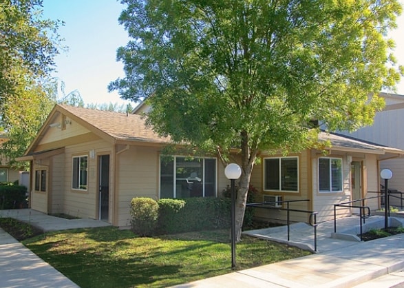
Property Record
1298 Locust St, Willits, CA 95490


Property Detail
1298 Locust St
Ukiah, CA
PARCEL 4 OF PCL MAP MLD 83-1 FILED MAY 12, 1983 IN C2, D40, P45, MCR.
006-260-16-00
Mendocino
Commercialnec
California
R1
16
B and X Area of moderate flood hazard, usually the area between the limits of the 100-year and 500-year floods.
2.81 AC
2024
California North Rural Area
2025
Other Market Areas
010700
NEARBY LISTINGS FOR SALE OR LEASE
-
-
View all Willits listings for sale on LoopNet.com
DEMOGRAPHICS near 1298 Locust St
1 mile
3 mile
5 mile
2025 Total Population
5,008
8,622
12,568
2030 Population
4,999
8,595
12,494
Pop Growth 2025-2030
(0.18%)
(0.31%)
(0.59%)
Average Age
42
43
43
2025 Total Households
2,007
3,416
4,960
HH Growth 2025-2030
(0.20%)
(0.38%)
(0.65%)
Median Household Inc
$57,337
$66,489
$68,552
Avg Household Size
2.50
2.50
2.50
2025 Avg HH Vehicles
1.00
2.00
2.00
Median Home Value
$335,423
$384,968
$388,412
Median Year Built
1975
1976
1978
Nearby Places
Map Layers
Map Styles
 Street
 Aerial
Transit
 Traffic
 Biking
Places
Listings with unknown addresses are not visible on the map
- Restaurants
- Banks
- Shops
- Fitness
- Groceries
Nearby Properties
Address
Land Use
TOTAL SIZE
Lot Size
Zoning
Address
Land Use
TOTAL SIZE
Lot Size
Zoning
7.08 AC
Address
Land Use
TOTAL SIZE
Lot Size
Zoning
7.18 AC
R2
Address
Land Use
TOTAL SIZE
Lot Size
Zoning
2.91 AC
Address
Land Use
TOTAL SIZE
Lot Size
Zoning
6.26 AC
M1
Address
Land Use
TOTAL SIZE
Lot Size
Zoning
11.84 AC
C2
Address
Land Use
TOTAL SIZE
Lot Size
Zoning
4.65 AC
C2
Address
Land Use
TOTAL SIZE
Lot Size
Zoning
36.50 AC
RMR40
Address
Land Use
TOTAL SIZE
Lot Size
Zoning
2.77 AC
C2
Address
Land Use
TOTAL SIZE
Lot Size
Zoning
5.17 AC
MH
Address
Land Use
TOTAL SIZE
Lot Size
Zoning
3.59 AC
R2
Address
Land Use
TOTAL SIZE
Lot Size
Zoning
1.28 AC
C2
Address
Land Use
TOTAL SIZE
Lot Size
Zoning
3.26 AC
C2
Address
Land Use
TOTAL SIZE
Lot Size
Zoning
2.50 AC
U0
Address
Land Use
TOTAL SIZE
Lot Size
Zoning
2.87 AC
R1
Address
Land Use
TOTAL SIZE
Lot Size
Zoning
2.10 AC
R1
Address
Land Use
TOTAL SIZE
Lot Size
Zoning
0.92 AC
C2
Address
Land Use
TOTAL SIZE
Lot Size
Zoning
1.10 AC
C2
Address
Land Use
TOTAL SIZE
Lot Size
Zoning
0.48 AC
R1
Address
Land Use
TOTAL SIZE
Lot Size
Zoning
3.95 AC
UR40
Address
Land Use
TOTAL SIZE
Lot Size
Zoning
19.26 AC
AG40
Address
Land Use
TOTAL SIZE
Lot Size
Zoning
7.32 AC
MH
Address
Land Use
TOTAL SIZE
Lot Size
Zoning
4.40 AC
Address
Land Use
TOTAL SIZE
Lot Size
Zoning
2.14 AC
R3
Address
Land Use
TOTAL SIZE
Lot Size
Zoning
0.66 AC
C2
Address
Land Use
TOTAL SIZE
Lot Size
Zoning
0.40 AC
Address
Land Use
TOTAL SIZE
Lot Size
Zoning
0.58 AC
Address
Land Use
TOTAL SIZE
Lot Size
Zoning
0.58 AC
Address
Land Use
TOTAL SIZE
Lot Size
Zoning
7,470 SF
49.32 AC
RL160
Address
Land Use
TOTAL SIZE
Lot Size
Zoning
0.55 AC
The World's #1 Commercial Real Estate Marketplace
Connect with us
© 2026 CoStar Group
The information above has been obtained from sources believed reliable. While we do not doubt its accuracy we have not verified it and make no guarantee, warranty or representation about it. It is your responsibility to independently confirm its accuracy and completeness. Any projections, opinions, assumptions, or estimates used are for example only and do not represent the current or future performance of the property. The value of this transaction to you depends on tax and other factors which should be evaluated by your tax, financial, and legal advisors. You and your advisors should conduct a careful, independent investigation of the property to determine to your satisfaction the suitability of the property for your needs.