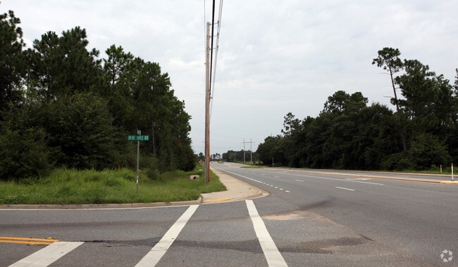
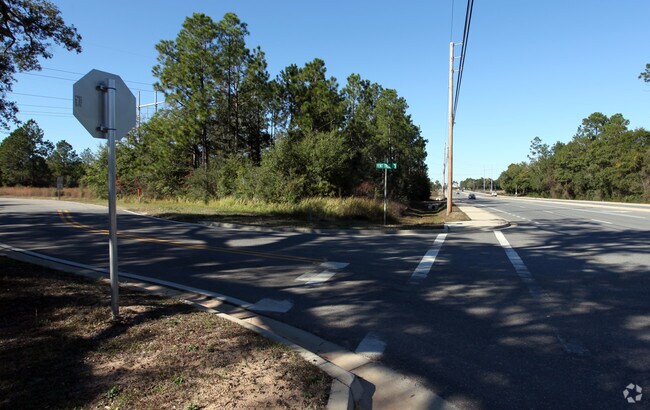
Property Record
Highway 87 S, Milton, FL 32583
NEARBY LISTINGS FOR SALE OR LEASE
Property Detail
Highway 87 S
Pensacola-Ferry Pass-Brent, FL
BEG WHERE E LN OF S2 OF E2 INS W R/W OF HWY #87 THN S0*4530 E 2698.60 FT THN S89*1719W 90.53 FT TO W LN OF GP ESMNT THN N42*0506W 223.86 FT THN N7*6050W 427.56 FT THN N89* 1503E 119.08 FT THN N7*1042 W 299.88 FT TO SE CORN OF LOT 1 BLK A OF BENT TREE
05-1N-27-0000-00129-0000
Santa Rosa
Commercialacreage
Florida
X
1
12113C0340H
7.10 AC
2024
SE Santa Rosa County
2025
Pensacola
010709
DEMOGRAPHICS near Highway 87 S
1 Mile
3 Mile
5 Mile
2024 Total Population
3,470
10,760
22,234
2029 Population
3,871
12,330
25,580
Pop Growth 2024-2029
+ 11.56%
+ 14.59%
+ 15.05%
Average Age
40
41
41
2024 Total Households
522
2,988
7,423
HH Growth 2024-2029
+ 17.05%
+ 17.44%
+ 16.52%
Median Household Inc
$58,260
$61,308
$62,278
Avg Household Size
2.50
2.50
2.40
2024 Avg HH Vehicles
2.00
2.00
2.00
Median Home Value
$193,749
$211,247
$193,406
Median Year Built
1996
1995
1992
Nearby Places
- Restaurants
- Banks
- Shops
- Fitness
- Groceries
PUBLIC TRANSPORTATION
AIRPORT
Pensacola International
DRIVE
WALK
Distance
Pensacola International
32 min
22.2 mi
Eglin AFB/Destin-Ft Walton Beach
DRIVE
WALK
Distance
Eglin AFB/Destin-Ft Walton Beach
70 min
48.8 mi
Nearby Properties
Address
Land Use
TOTAL SIZE
Lot Size
Zoning
Address
Land Use
TOTAL SIZE
Lot Size
Zoning
342,125 SF
58.46 AC
M2
Address
Land Use
TOTAL SIZE
Lot Size
Zoning
281,607 SF
306.03 AC
M2
Address
Land Use
TOTAL SIZE
Lot Size
Zoning
183,076 SF
85.91 AC
M2
Address
Land Use
TOTAL SIZE
Lot Size
Zoning
198,543 SF
34.63 AC
M2
Address
Land Use
TOTAL SIZE
Lot Size
Zoning
31,124 SF
36.55 AC
AG-RR
Address
Land Use
TOTAL SIZE
Lot Size
Zoning
258,149 SF
8.42 AC
M2
Address
Land Use
TOTAL SIZE
Lot Size
Zoning
197,050 SF
29.93 AC
M2
Address
Land Use
TOTAL SIZE
Lot Size
Zoning
141,508 SF
26.62 AC
M2
Address
Land Use
TOTAL SIZE
Lot Size
Zoning
164,844 SF
8.33 AC
M2
Address
Land Use
TOTAL SIZE
Lot Size
Zoning
52,817 SF
79.32 AC
M1
Address
Land Use
TOTAL SIZE
Lot Size
Zoning
67,182 SF
9.54 AC
M2
Address
Land Use
TOTAL SIZE
Lot Size
Zoning
47,976 SF
102.61 AC
M2
Address
Land Use
TOTAL SIZE
Lot Size
Zoning
186.32 AC
HCD
Address
Land Use
TOTAL SIZE
Lot Size
Zoning
82,869 SF
10 AC
M2
Address
Land Use
TOTAL SIZE
Lot Size
Zoning
9,030 SF
20.47 AC
HCD
Address
Land Use
TOTAL SIZE
Lot Size
Zoning
72,675 SF
20 AC
M2
Address
Land Use
TOTAL SIZE
Lot Size
Zoning
103,000 SF
7.24 AC
M2
Address
Land Use
TOTAL SIZE
Lot Size
Zoning
89,249 SF
66.21 AC
AG-RR
Address
Land Use
TOTAL SIZE
Lot Size
Zoning
81,521 SF
7.63 AC
M2
Address
Land Use
TOTAL SIZE
Lot Size
Zoning
51,765 SF
14 AC
M2
Address
Land Use
TOTAL SIZE
Lot Size
Zoning
2,409 SF
158.24 AC
M2
Address
Land Use
TOTAL SIZE
Lot Size
Zoning
83,222 SF
7 AC
M2
Address
Land Use
TOTAL SIZE
Lot Size
Zoning
38,619 SF
2.31 AC
HCD
Address
Land Use
TOTAL SIZE
Lot Size
Zoning
199.56 AC
AG-RR
Address
Land Use
TOTAL SIZE
Lot Size
Zoning
33,570 SF
4.25 AC
HCD
Address
Land Use
TOTAL SIZE
Lot Size
Zoning
33,454 SF
13.16 AC
M2
Address
Land Use
TOTAL SIZE
Lot Size
Zoning
82,362 SF
6.95 AC
M2
Address
Land Use
TOTAL SIZE
Lot Size
Zoning
20,964 SF
26.97 AC
M2
Address
Land Use
TOTAL SIZE
Lot Size
Zoning
15,067 SF
3.09 AC
M2
Address
Land Use
TOTAL SIZE
Lot Size
Zoning
20,468 SF
16 AC
M2
The World's #1 Commercial Real Estate Marketplace
Connect with us
© 2025 CoStar Group
The information above has been obtained from sources believed reliable. While we do not doubt its accuracy we have not verified it and make no guarantee, warranty or representation about it. It is your responsibility to independently confirm its accuracy and completeness. Any projections, opinions, assumptions, or estimates used are for example only and do not represent the current or future performance of the property. The value of this transaction to you depends on tax and other factors which should be evaluated by your tax, financial, and legal advisors. You and your advisors should conduct a careful, independent investigation of the property to determine to your satisfaction the suitability of the property for your needs.