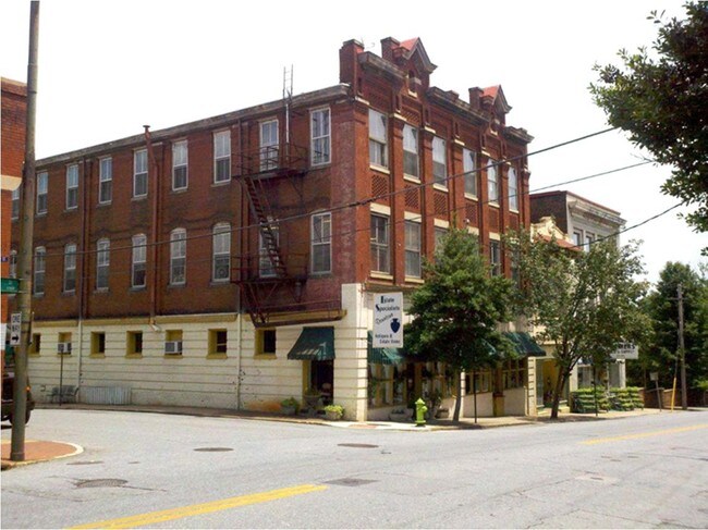
Property Record
1300 Main St, Lynchburg, VA 24504
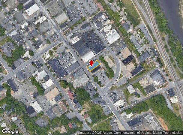
NEARBY LISTINGS FOR SALE OR LEASE
Property Detail
1300 Main St
046-05-001
Downtown-Central Business Dist
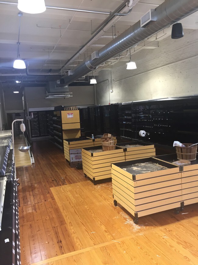
Storebuilding
BLK 94
X
Lynchburg City
51009C0395C
Virginia
2025
0.14 AC
2025
Downtown Lynchburg
000500
Other Market Areas
17,700 SF
Lynchburg, VA
DEMOGRAPHICS near 1300 Main St
1 Mile
3 Mile
5 Mile
2024 Total Population
7,605
35,731
67,683
2029 Population
7,790
36,086
67,992
Pop Growth 2024-2029
+ 2.43%
+ 0.99%
+ 0.46%
Average Age
36
36
37
2024 Total Households
3,409
14,338
27,719
HH Growth 2024-2029
+ 2.49%
+ 1.09%
+ 0.48%
Median Household Inc
$39,271
$43,435
$51,181
Avg Household Size
2.10
2.20
2.20
2024 Avg HH Vehicles
1.00
2.00
2.00
Median Home Value
$89,810
$130,206
$162,286
Median Year Built
1947
1953
1964
Nearby Places
Map Layers
Map Styles
 Street
 Aerial
- Restaurants
- Banks
- Shops
- Fitness
- Groceries
PUBLIC TRANSPORTATION
AIRPORT
Lynchburg Regional/Preston Glenn Field
DRIVE
WALK
Distance
Lynchburg Regional/Preston Glenn Field
16 min
9.2 mi
SALE & LEASE HISTORY
LISTING DATE
SALE/LEASE

Jun 12, 2019
For Lease
Nearby Properties
Address
Land Use
TOTAL SIZE
Lot Size
Zoning
Address
Land Use
TOTAL SIZE
Lot Size
Zoning
686,112 SF
29.65 AC
B1R2
Address
Land Use
TOTAL SIZE
Lot Size
Zoning
814,428 SF
99.03 AC
212923
Address
Land Use
TOTAL SIZE
Lot Size
Zoning
626,329 SF
50.88 AC
2521
Address
Land Use
TOTAL SIZE
Lot Size
Zoning
323,985 SF
50.89 AC
2305
Address
Land Use
TOTAL SIZE
Lot Size
Zoning
Address
Land Use
TOTAL SIZE
Lot Size
Zoning
186,536 SF
21.45 AC
P1
Address
Land Use
TOTAL SIZE
Lot Size
Zoning
183,584 SF
2 AC
R4
Address
Land Use
TOTAL SIZE
Lot Size
Zoning
8,259 SF
13.02 AC
Address
Land Use
TOTAL SIZE
Lot Size
Zoning
86,855 SF
10.68 AC
B1
Address
Land Use
TOTAL SIZE
Lot Size
Zoning
10.13 AC
R4RC
Address
Land Use
TOTAL SIZE
Lot Size
Zoning
68,240 SF
20.56 AC
R4
Address
Land Use
TOTAL SIZE
Lot Size
Zoning
91,070 SF
9.80 AC
B3
Address
Land Use
TOTAL SIZE
Lot Size
Zoning
118,789 SF
1.90 AC
2501
Address
Land Use
TOTAL SIZE
Lot Size
Zoning
3.67 AC
I3RC
Address
Land Use
TOTAL SIZE
Lot Size
Zoning
114,738 SF
0.51 AC
B4
Address
Land Use
TOTAL SIZE
Lot Size
Zoning
46,689 SF
1.74 AC
B6
Address
Land Use
TOTAL SIZE
Lot Size
Zoning
212,795 SF
31.49 AC
1505
Address
Land Use
TOTAL SIZE
Lot Size
Zoning
53,907 SF
10.38 AC
R3
Address
Land Use
TOTAL SIZE
Lot Size
Zoning
87,342 SF
27.75 AC
R3
Address
Land Use
TOTAL SIZE
Lot Size
Zoning
134,712 SF
13.67 AC
I3
Address
Land Use
TOTAL SIZE
Lot Size
Zoning
19,910 SF
5.01 AC
B1
Address
Land Use
TOTAL SIZE
Lot Size
Zoning
80,165 SF
1.26 AC
090125
Address
Land Use
TOTAL SIZE
Lot Size
Zoning
50,466 SF
11.75 AC
I3
Address
Land Use
TOTAL SIZE
Lot Size
Zoning
342,948 SF
1.94 AC
B4
Address
Land Use
TOTAL SIZE
Lot Size
Zoning
21,360 SF
3 AC
I3
Address
Land Use
TOTAL SIZE
Lot Size
Zoning
150,883 SF
7.41 AC
R4
Address
Land Use
TOTAL SIZE
Lot Size
Zoning
152,112 SF
4.74 AC
R3
Address
Land Use
TOTAL SIZE
Lot Size
Zoning
70,676 SF
5.35 AC
Address
Land Use
TOTAL SIZE
Lot Size
Zoning
111,817 SF
6.31 AC
B5
The World's #1 Commercial Real Estate Marketplace
Connect with us
© 2025 CoStar Group
The information above has been obtained from sources believed reliable. While we do not doubt its accuracy we have not verified it and make no guarantee, warranty or representation about it. It is your responsibility to independently confirm its accuracy and completeness. Any projections, opinions, assumptions, or estimates used are for example only and do not represent the current or future performance of the property. The value of this transaction to you depends on tax and other factors which should be evaluated by your tax, financial, and legal advisors. You and your advisors should conduct a careful, independent investigation of the property to determine to your satisfaction the suitability of the property for your needs.