Property Record
1300 Peachtree Industrial Blvd, Suwanee, GA 30024

NEARBY LISTINGS FOR SALE OR LEASE
Property Detail
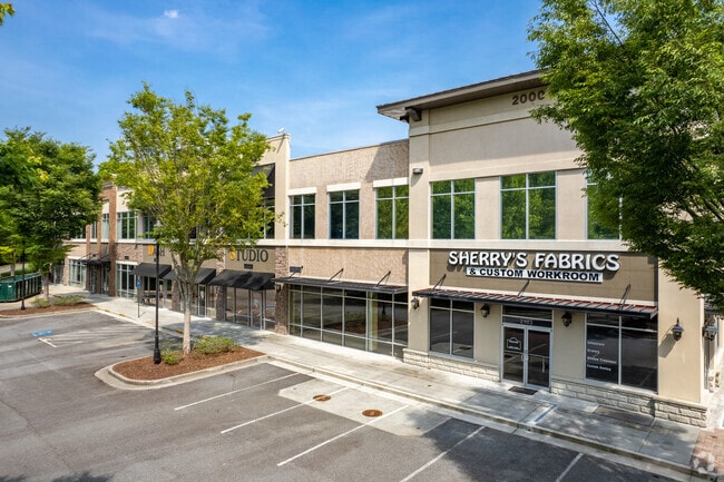
1300 Peachtree Industrial Blvd
7-239-385
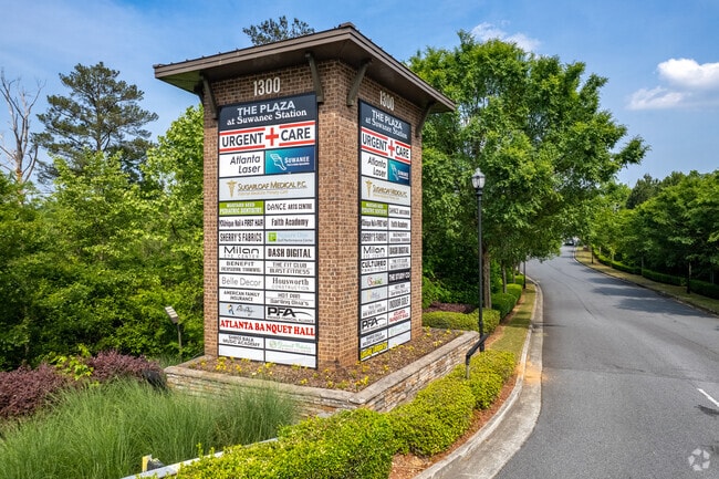
Suwanee Station
Commercialcondominium
UNIT 3115 BLDG 3000 THE PLAZA AT SUWANEE STATION
AE
Gwinnett
13121C0111G
Georgia
0
0.05 AC
2025
Suwanee/Buford
050223
Atlanta
2,078 SF
Atlanta-Sandy Springs-Roswell, GA
DEMOGRAPHICS near 1300 Peachtree Industrial Blvd
1 Mile
3 Mile
5 Mile
2024 Total Population
9,675
57,122
172,237
2029 Population
10,192
60,362
182,290
Pop Growth 2024-2029
+ 5.34%
+ 5.67%
+ 5.84%
Average Age
37
39
39
2024 Total Households
3,825
19,524
57,945
HH Growth 2024-2029
+ 5.62%
+ 5.82%
+ 5.83%
Median Household Inc
$85,498
$118,034
$111,006
Avg Household Size
2.50
2.90
2.90
2024 Avg HH Vehicles
2.00
2.00
2.00
Median Home Value
$364,181
$417,312
$401,419
Median Year Built
1998
2000
1998
Nearby Places
Map Layers
Map Styles
 Street
 Aerial
- Restaurants
- Banks
- Shops
- Fitness
- Groceries
SALE & LEASE HISTORY
LISTING DATE
SALE/LEASE

Sep 25, 2016
For Lease
Oct 21, 2024
For Sale
Jan 26, 2021
For Sale
Jan 26, 2021
For Sale
Aug 30, 2024
For Sale
Aug 22, 2019
For Sale
Apr 05, 2018
For Lease
Nearby Properties
Address
Land Use
TOTAL SIZE
Lot Size
Zoning
Address
Land Use
TOTAL SIZE
Lot Size
Zoning
482,658 SF
17.05 AC
MUR
Address
Land Use
TOTAL SIZE
Lot Size
Zoning
509,302 SF
55.13 AC
RM8
Address
Land Use
TOTAL SIZE
Lot Size
Zoning
534,578 SF
44.21 AC
RM8
Address
Land Use
TOTAL SIZE
Lot Size
Zoning
393,939 SF
42.21 AC
RM8
Address
Land Use
TOTAL SIZE
Lot Size
Zoning
280,454 SF
19.97 AC
MUR
Address
Land Use
TOTAL SIZE
Lot Size
Zoning
359,241 SF
21.02 AC
PMUD
Address
Land Use
TOTAL SIZE
Lot Size
Zoning
471,807 SF
69.50 AC
R100
Address
Land Use
TOTAL SIZE
Lot Size
Zoning
379,183 SF
6.09 AC
PMUD
Address
Land Use
TOTAL SIZE
Lot Size
Zoning
334,841 SF
28.14 AC
RM13
Address
Land Use
TOTAL SIZE
Lot Size
Zoning
372,904 SF
11.64 AC
PUD
Address
Land Use
TOTAL SIZE
Lot Size
Zoning
253,169 SF
8.74 AC
RM24
Address
Land Use
TOTAL SIZE
Lot Size
Zoning
234,420 SF
10.35 AC
PMUD
Address
Land Use
TOTAL SIZE
Lot Size
Zoning
220,779 SF
7.32 AC
PMUD
Address
Land Use
TOTAL SIZE
Lot Size
Zoning
370,414 SF
14.34 AC
PMUD
Address
Land Use
TOTAL SIZE
Lot Size
Zoning
248,400 SF
13.92 AC
MUO
Address
Land Use
TOTAL SIZE
Lot Size
Zoning
385,167 SF
49.55 AC
M1
Address
Land Use
TOTAL SIZE
Lot Size
Zoning
503,650 SF
34.37 AC
M1
Address
Land Use
TOTAL SIZE
Lot Size
Zoning
332,011 SF
8.84 AC
PMUD
Address
Land Use
TOTAL SIZE
Lot Size
Zoning
327,360 SF
26.42 AC
M1
Address
Land Use
TOTAL SIZE
Lot Size
Zoning
553,941 SF
32.82 AC
M1
Address
Land Use
TOTAL SIZE
Lot Size
Zoning
184,890 SF
3 AC
PMUD
Address
Land Use
TOTAL SIZE
Lot Size
Zoning
185,524 SF
12.61 AC
M1
Address
Land Use
TOTAL SIZE
Lot Size
Zoning
160,021 SF
14.27 AC
PMUD
Address
Land Use
TOTAL SIZE
Lot Size
Zoning
201,040 SF
26.40 AC
R100
Address
Land Use
TOTAL SIZE
Lot Size
Zoning
235,807 SF
1.90 AC
M1
Address
Land Use
TOTAL SIZE
Lot Size
Zoning
175,613 SF
17.63 AC
M1
Address
Land Use
TOTAL SIZE
Lot Size
Zoning
143,457 SF
7.85 AC
OI
Address
Land Use
TOTAL SIZE
Lot Size
Zoning
96,165 SF
47.41 AC
PMUD
Address
Land Use
TOTAL SIZE
Lot Size
Zoning
417,876 SF
23.74 AC
M1
Address
Land Use
TOTAL SIZE
Lot Size
Zoning
150,811 SF
15.41 AC
C2
The World's #1 Commercial Real Estate Marketplace
Connect with us
© 2025 CoStar Group
The information above has been obtained from sources believed reliable. While we do not doubt its accuracy we have not verified it and make no guarantee, warranty or representation about it. It is your responsibility to independently confirm its accuracy and completeness. Any projections, opinions, assumptions, or estimates used are for example only and do not represent the current or future performance of the property. The value of this transaction to you depends on tax and other factors which should be evaluated by your tax, financial, and legal advisors. You and your advisors should conduct a careful, independent investigation of the property to determine to your satisfaction the suitability of the property for your needs.