Property Record
1301 E Wendover Ave, Greensboro, NC 27405


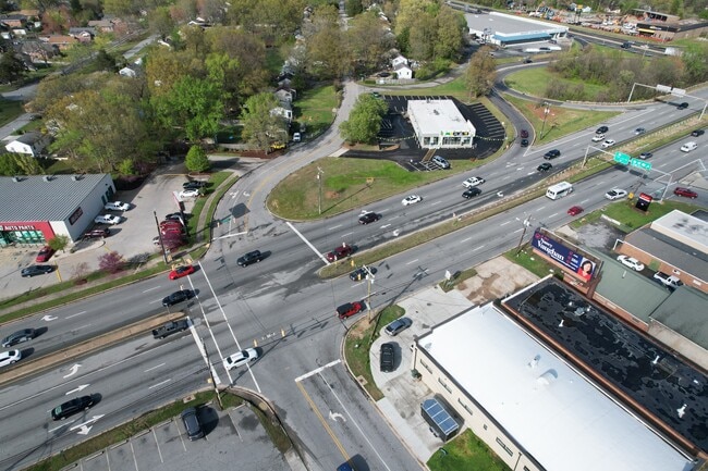

Property Detail
1301 E Wendover Ave
0033884
1301 E WENDOVER AVE
Industrialgeneral
Guilford
LI
North Carolina
B and X Area of moderate flood hazard, usually the area between the limits of the 100-year and 500-year floods.
1301
2024
0.90 AC
2025
NE Guilford County
010300
Greensboro/Winston-Salem
4,916 SF
Greensboro-High Point, NC
NEARBY LISTINGS FOR SALE OR LEASE
DEMOGRAPHICS near 1301 E Wendover Ave
1 mile
3 mile
5 mile
2025 Total Population
12,159
87,588
178,274
2030 Population
12,736
90,977
184,380
Pop Growth 2025-2030
+ 4.75%
+ 3.87%
+ 3.43%
Average Age
34
36
37
2025 Total Households
3,870
32,332
69,159
HH Growth 2025-2030
+ 5.53%
+ 4.31%
+ 3.70%
Median Household Inc
$37,929
$46,407
$55,403
Avg Household Size
2.40
2.20
2.30
2025 Avg HH Vehicles
1.00
2.00
2.00
Median Home Value
$150,566
$212,321
$245,762
Median Year Built
1967
1969
1975
Nearby Places
Map Layers
Map Styles
 Street
 Aerial
Layers
 Traffic
 Biking
Places
Listings with unknown addresses are not visible on the map
- Restaurants
- Banks
- Shops
- Fitness
- Groceries
PUBLIC TRANSPORTATION
COMMUTER RAIL
Greensboro Station (Piedmont - North Carolina by Train (NC Train))
Drive
Walk
Distance
Greensboro Station (Piedmont - North Carolina by Train (NC Train))
4 min
2.1 mi
AIRPORT
Piedmont Triad International
Drive
Walk
Distance
Piedmont Triad International
20 min
12.4 mi
SALE & LEASE HISTORY
LISTING DATE
SALE/LEASE

Sep 30, 2020
For Sale
Apr 12, 2022
For Sale
Nearby Properties
Address
Land Use
TOTAL SIZE
Lot Size
Zoning
Address
Land Use
TOTAL SIZE
Lot Size
Zoning
908,421 SF
62.30 AC
PI
Address
Land Use
TOTAL SIZE
Lot Size
Zoning
1,864,781 SF
96.17 AC
PI
Address
Land Use
TOTAL SIZE
Lot Size
Zoning
646,229 SF
25.47 AC
LI
Address
Land Use
TOTAL SIZE
Lot Size
Zoning
905,672 SF
28.64 AC
PI
Address
Land Use
TOTAL SIZE
Lot Size
Zoning
733,612 SF
19.38 AC
PI
Address
Land Use
TOTAL SIZE
Lot Size
Zoning
388,224 SF
0.98 AC
CB
Address
Land Use
TOTAL SIZE
Lot Size
Zoning
1,546,815 SF
93.94 AC
CU-LI
Address
Land Use
TOTAL SIZE
Lot Size
Zoning
356,139 SF
0.99 AC
CB
Address
Land Use
TOTAL SIZE
Lot Size
Zoning
2.09 AC
CB
Address
Land Use
TOTAL SIZE
Lot Size
Zoning
352,060 SF
3.67 AC
CB
Address
Land Use
TOTAL SIZE
Lot Size
Zoning
364,370 SF
1.85 AC
CB
Address
Land Use
TOTAL SIZE
Lot Size
Zoning
303,490 SF
1.29 AC
CB
Address
Land Use
TOTAL SIZE
Lot Size
Zoning
275,122 SF
0.76 AC
CB
Address
Land Use
TOTAL SIZE
Lot Size
Zoning
413,840 SF
3.68 AC
PI
Address
Land Use
TOTAL SIZE
Lot Size
Zoning
313,033 SF
71.38 AC
O
Address
Land Use
TOTAL SIZE
Lot Size
Zoning
342,490 SF
17.99 AC
PI
Address
Land Use
TOTAL SIZE
Lot Size
Zoning
163,439 SF
4.01 AC
CB
Address
Land Use
TOTAL SIZE
Lot Size
Zoning
163,346 SF
0.92 AC
CB
Address
Land Use
TOTAL SIZE
Lot Size
Zoning
224,444 SF
80.09 AC
PI
Address
Land Use
TOTAL SIZE
Lot Size
Zoning
291,464 SF
17.51 AC
PI
Address
Land Use
TOTAL SIZE
Lot Size
Zoning
275,282 SF
43.43 AC
PI
Address
Land Use
TOTAL SIZE
Lot Size
Zoning
249,779 SF
2.83 AC
CB
Address
Land Use
TOTAL SIZE
Lot Size
Zoning
170,200 SF
1.05 AC
CB
Address
Land Use
TOTAL SIZE
Lot Size
Zoning
661,843 SF
46.38 AC
PI
Address
Land Use
TOTAL SIZE
Lot Size
Zoning
236,374 SF
7.69 AC
CB
Address
Land Use
TOTAL SIZE
Lot Size
Zoning
133,069 SF
7.90 AC
PI
Address
Land Use
TOTAL SIZE
Lot Size
Zoning
231,863 SF
7.96 AC
PUD
Address
Land Use
TOTAL SIZE
Lot Size
Zoning
125,380 SF
4.67 AC
CB
Address
Land Use
TOTAL SIZE
Lot Size
Zoning
148,106 SF
8.02 AC
CB
Address
Land Use
TOTAL SIZE
Lot Size
Zoning
345,087 SF
15.73 AC
PI
The World's #1 Commercial Real Estate Marketplace
Connect with us
© 2026 CoStar Group
The information above has been obtained from sources believed reliable. While we do not doubt its accuracy we have not verified it and make no guarantee, warranty or representation about it. It is your responsibility to independently confirm its accuracy and completeness. Any projections, opinions, assumptions, or estimates used are for example only and do not represent the current or future performance of the property. The value of this transaction to you depends on tax and other factors which should be evaluated by your tax, financial, and legal advisors. You and your advisors should conduct a careful, independent investigation of the property to determine to your satisfaction the suitability of the property for your needs.