Property Record
1301 N A W Grimes Blvd, Round Rock, TX 78665
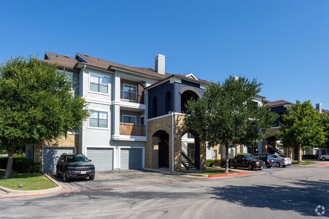

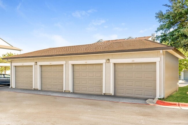

Property Detail
1301 N A W Grimes Blvd
R488857
S9454 - PALM VALLEY MARKET CENTER SEC 4 PH 1, BLOCK A, LOT 1, ACRES 18.579, & SEC 2, BLOCK A, LOT 8
Multifamilydwelling
Williamson
C1
Texas
B and X Area of moderate flood hazard, usually the area between the limits of the 100-year and 500-year floods.
1
2024
18.58 AC
2025
Round Rock
021512
Austin
330,300 SF
Austin-Round Rock-San Marcos, TX
NEARBY LISTINGS FOR SALE OR LEASE
-
-
View all Round Rock listings for sale on LoopNet.com
DEMOGRAPHICS near 1301 N A W Grimes Blvd
1 mile
3 mile
5 mile
2025 Total Population
14,583
103,064
242,613
2030 Population
16,564
116,957
272,000
Pop Growth 2025-2030
+ 13.58%
+ 13.48%
+ 12.11%
Average Age
36
36
37
2025 Total Households
5,443
37,782
88,956
HH Growth 2025-2030
+ 14.09%
+ 13.97%
+ 12.68%
Median Household Inc
$87,573
$92,578
$109,950
Avg Household Size
2.60
2.70
2.70
2025 Avg HH Vehicles
2.00
2.00
2.00
Median Home Value
$397,464
$406,747
$445,520
Median Year Built
1997
2001
2005
Nearby Places
Map Layers
Map Styles
 Street
 Aerial
Transit
 Traffic
 Biking
Places
Listings with unknown addresses are not visible on the map
- Restaurants
- Banks
- Shops
- Fitness
- Groceries
PUBLIC TRANSPORTATION
AIRPORT
Austin-Bergstrom International
Drive
Walk
Distance
Austin-Bergstrom International
44 min
33.4 mi
Freight Ports
Calhoun Port
Drive
Walk
Distance
Calhoun Port
204 min
176.4 mi
The World's #1 Commercial Real Estate Marketplace
Connect with us
© 2026 CoStar Group
The information above has been obtained from sources believed reliable. While we do not doubt its accuracy we have not verified it and make no guarantee, warranty or representation about it. It is your responsibility to independently confirm its accuracy and completeness. Any projections, opinions, assumptions, or estimates used are for example only and do not represent the current or future performance of the property. The value of this transaction to you depends on tax and other factors which should be evaluated by your tax, financial, and legal advisors. You and your advisors should conduct a careful, independent investigation of the property to determine to your satisfaction the suitability of the property for your needs.