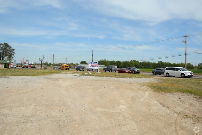
Property Record
13044 S Memorial Dr E, Bixby, OK 74008

NEARBY LISTINGS FOR SALE OR LEASE
Property Detail
13044 S Memorial Dr E
Tulsa, OK
Unplatted
97302-73-02-00920
PRT SE SE SE BEG 208.71W & 40N SECR SE TH E115.03 NE57.12 N236.58 W159.13 S TO POB SEC 2 17 13 .98AC
Commercialacreage
Tulsa
X
Oklahoma
40143C0432M
0.98 AC
2025
South
2025
Tulsa
007803
DEMOGRAPHICS near 13044 S Memorial Dr E
1 Mile
3 Mile
5 Mile
2024 Total Population
6,847
38,381
99,017
2029 Population
7,162
40,048
102,854
Pop Growth 2024-2029
+ 4.60%
+ 4.34%
+ 3.88%
Average Age
35
39
39
2024 Total Households
2,513
13,686
36,546
HH Growth 2024-2029
+ 4.42%
+ 4.25%
+ 3.81%
Median Household Inc
$69,983
$104,751
$99,049
Avg Household Size
2.70
2.80
2.70
2024 Avg HH Vehicles
2.00
2.00
2.00
Median Home Value
$283,208
$332,993
$289,408
Median Year Built
2010
2000
1995
Nearby Places
Map Layers
Map Styles
 Street
 Aerial
- Restaurants
- Banks
- Shops
- Fitness
- Groceries
PUBLIC TRANSPORTATION
AIRPORT
Tulsa International
DRIVE
WALK
Distance
Tulsa International
31 min
20.9 mi
Freight Ports
DRIVE
WALK
Distance
34 min
24.7 mi
SALE & LEASE HISTORY
LISTING DATE
SALE/LEASE

Sep 24, 2016
For Sale
Nearby Properties
Address
Land Use
TOTAL SIZE
Lot Size
Zoning
Address
Land Use
TOTAL SIZE
Lot Size
Zoning
815,589 SF
181.73 AC
AG
Address
Land Use
TOTAL SIZE
Lot Size
Zoning
134,232 SF
28.52 AC
R2
Address
Land Use
TOTAL SIZE
Lot Size
Zoning
176,243 SF
5.77 AC
CS
Address
Land Use
TOTAL SIZE
Lot Size
Zoning
25,761 SF
15.66 AC
CG
Address
Land Use
TOTAL SIZE
Lot Size
Zoning
27,278 SF
2.49 AC
CS
Address
Land Use
TOTAL SIZE
Lot Size
Zoning
98,290 SF
19.62 AC
RS3
Address
Land Use
TOTAL SIZE
Lot Size
Zoning
56,526 SF
25.18 AC
AG
Address
Land Use
TOTAL SIZE
Lot Size
Zoning
2,281,674 SF
147.83 AC
AG
Address
Land Use
TOTAL SIZE
Lot Size
Zoning
10,745 SF
56.52 AC
RS2
Address
Land Use
TOTAL SIZE
Lot Size
Zoning
27,256 SF
31.19 AC
CS
Address
Land Use
TOTAL SIZE
Lot Size
Zoning
36,440 SF
75.39 AC
AG
Address
Land Use
TOTAL SIZE
Lot Size
Zoning
18,161 SF
4.36 AC
AG
Address
Land Use
TOTAL SIZE
Lot Size
Zoning
30,000 SF
5.13 AC
CS
Address
Land Use
TOTAL SIZE
Lot Size
Zoning
30,000 SF
5.06 AC
Address
Land Use
TOTAL SIZE
Lot Size
Zoning
219,987 SF
6.97 AC
RM3
Address
Land Use
TOTAL SIZE
Lot Size
Zoning
31,798 SF
4.42 AC
AG
Address
Land Use
TOTAL SIZE
Lot Size
Zoning
243,504 SF
13.97 AC
RM3
Address
Land Use
TOTAL SIZE
Lot Size
Zoning
10,584 SF
1.15 AC
CS
Address
Land Use
TOTAL SIZE
Lot Size
Zoning
22,760 SF
11.76 AC
AG
Address
Land Use
TOTAL SIZE
Lot Size
Zoning
17,776 SF
0.75 AC
CH
Address
Land Use
TOTAL SIZE
Lot Size
Zoning
28,174 SF
8.32 AC
AG
Address
Land Use
TOTAL SIZE
Lot Size
Zoning
27,896 SF
4.72 AC
AG
Address
Land Use
TOTAL SIZE
Lot Size
Zoning
196,322 SF
23.55 AC
IM
Address
Land Use
TOTAL SIZE
Lot Size
Zoning
23,375 SF
5.91 AC
CS
Address
Land Use
TOTAL SIZE
Lot Size
Zoning
37,009 SF
4.18 AC
RS1
Address
Land Use
TOTAL SIZE
Lot Size
Zoning
12,156 SF
1.76 AC
CS
Address
Land Use
TOTAL SIZE
Lot Size
Zoning
58,112 SF
41.58 AC
AG
Address
Land Use
TOTAL SIZE
Lot Size
Zoning
2,500 SF
8.21 AC
RS1
Address
Land Use
TOTAL SIZE
Lot Size
Zoning
285,981 SF
68.60 AC
RM2
Address
Land Use
TOTAL SIZE
Lot Size
Zoning
36,312 SF
3.50 AC
CG
The World's #1 Commercial Real Estate Marketplace
Connect with us
© 2026 CoStar Group
The information above has been obtained from sources believed reliable. While we do not doubt its accuracy we have not verified it and make no guarantee, warranty or representation about it. It is your responsibility to independently confirm its accuracy and completeness. Any projections, opinions, assumptions, or estimates used are for example only and do not represent the current or future performance of the property. The value of this transaction to you depends on tax and other factors which should be evaluated by your tax, financial, and legal advisors. You and your advisors should conduct a careful, independent investigation of the property to determine to your satisfaction the suitability of the property for your needs.