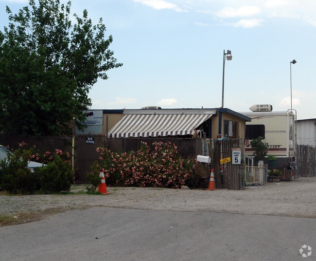
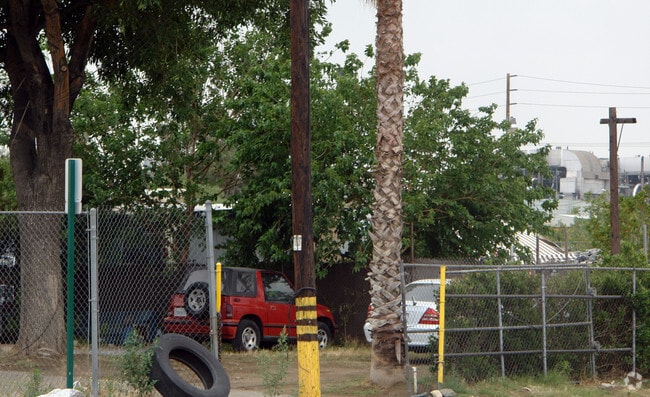
Property Record
12997 Whittram Ave, Rancho Cucamonga, CA 91739

NEARBY LISTINGS FOR SALE OR LEASE
Property Detail
12997 Whittram Ave
Riverside-San Bernardino-Ontario, CA
Fontana Arrow Route
0229-162-11
TR NO 21O2 FONTANA ARROW ROUTE TR N 215 FT THAT PTN LOT 438 MEAS FROM C/L WH1TTRAM AVE DESC AS COM AT NE COR SD LOT TH W 132 FT TH S 5 DEG 47 M1N W A D1STANCE OF 516.47 FT TO A PT ON S L1 SD LOT TH N 88 DEG 1O M1N 3O SECONDS E ALG SD S L1 184.O3 FT T
Vacantlandnec
San Bernardino
X
California
06071C8635J
438
2024
0.43 AC
2025
Airport Area
002207
Inland Empire (California)
DEMOGRAPHICS near 12997 Whittram Ave
1 Mile
3 Mile
5 Mile
2024 Total Population
6,610
86,033
295,048
2029 Population
6,682
87,417
299,578
Pop Growth 2024-2029
+ 1.09%
+ 1.61%
+ 1.54%
Average Age
35
36
36
2024 Total Households
1,571
25,547
87,353
HH Growth 2024-2029
+ 1.27%
+ 1.79%
+ 1.58%
Median Household Inc
$69,502
$104,881
$92,607
Avg Household Size
3.40
3.20
3.30
2024 Avg HH Vehicles
2.00
2.00
2.00
Median Home Value
$597,782
$564,182
$534,595
Median Year Built
1995
1995
1988
Nearby Places
Map Layers
Map Styles
 Street
 Aerial
- Restaurants
- Banks
- Shops
- Fitness
- Groceries
PUBLIC TRANSPORTATION
COMMUTER RAIL
Rancho Cucamonga (San Bernardino Line - Southern California Regional Rail Authority (Metrolink))
DRIVE
WALK
Distance
Rancho Cucamonga (San Bernardino Line - Southern California Regional Rail Authority (Metrolink))
6 min
3.1 mi
Fontana (San Bernardino Line - Southern California Regional Rail Authority (Metrolink))
DRIVE
WALK
Distance
Fontana (San Bernardino Line - Southern California Regional Rail Authority (Metrolink))
10 min
5.3 mi
AIRPORT
Ontario International
DRIVE
WALK
Distance
Ontario International
14 min
7.9 mi
John Wayne/Orange County
DRIVE
WALK
Distance
John Wayne/Orange County
56 min
45.8 mi
Freight Ports
Port of Long Beach
DRIVE
WALK
Distance
Port of Long Beach
75 min
59.5 mi
Nearby Properties
Address
Land Use
TOTAL SIZE
Lot Size
Zoning
Address
Land Use
TOTAL SIZE
Lot Size
Zoning
1,459,702 SF
96.41 AC
Address
Land Use
TOTAL SIZE
Lot Size
Zoning
1,422,524 SF
44.96 AC
Address
Land Use
TOTAL SIZE
Lot Size
Zoning
362.37 AC
Address
Land Use
TOTAL SIZE
Lot Size
Zoning
425.43 AC
SDCOM
Address
Land Use
TOTAL SIZE
Lot Size
Zoning
1,613,290 SF
59.42 AC
Address
Land Use
TOTAL SIZE
Lot Size
Zoning
707,551 SF
20.36 AC
Address
Land Use
TOTAL SIZE
Lot Size
Zoning
502,314 SF
40.06 AC
Address
Land Use
TOTAL SIZE
Lot Size
Zoning
817,750 SF
35.82 AC
Address
Land Use
TOTAL SIZE
Lot Size
Zoning
912 SF
370.60 AC
IR
Address
Land Use
TOTAL SIZE
Lot Size
Zoning
752,497 SF
24.89 AC
Address
Land Use
TOTAL SIZE
Lot Size
Zoning
1,385,866 SF
69.84 AC
Address
Land Use
TOTAL SIZE
Lot Size
Zoning
1,286,569 SF
53.96 AC
Address
Land Use
TOTAL SIZE
Lot Size
Zoning
275,783 SF
11.82 AC
Address
Land Use
TOTAL SIZE
Lot Size
Zoning
261,114 SF
11.23 AC
Address
Land Use
TOTAL SIZE
Lot Size
Zoning
34.80 AC
Address
Land Use
TOTAL SIZE
Lot Size
Zoning
145,111 SF
48.01 AC
Address
Land Use
TOTAL SIZE
Lot Size
Zoning
249,658 SF
20.03 AC
Address
Land Use
TOTAL SIZE
Lot Size
Zoning
500,403 SF
24.69 AC
Address
Land Use
TOTAL SIZE
Lot Size
Zoning
453,960 SF
18.54 AC
Address
Land Use
TOTAL SIZE
Lot Size
Zoning
104,537 SF
30.72 AC
Address
Land Use
TOTAL SIZE
Lot Size
Zoning
611,573 SF
26.64 AC
Address
Land Use
TOTAL SIZE
Lot Size
Zoning
87,909 SF
30.12 AC
Address
Land Use
TOTAL SIZE
Lot Size
Zoning
286,732 SF
9.58 AC
Address
Land Use
TOTAL SIZE
Lot Size
Zoning
261,357 SF
10.03 AC
Address
Land Use
TOTAL SIZE
Lot Size
Zoning
55.52 AC
Address
Land Use
TOTAL SIZE
Lot Size
Zoning
314,580 SF
24 AC
Address
Land Use
TOTAL SIZE
Lot Size
Zoning
76.50 AC
Address
Land Use
TOTAL SIZE
Lot Size
Zoning
849,900 SF
39.25 AC
KCSP
Address
Land Use
TOTAL SIZE
Lot Size
Zoning
291,742 SF
12.10 AC
Address
Land Use
TOTAL SIZE
Lot Size
Zoning
214,495 SF
9.89 AC
SDCOM
The World's #1 Commercial Real Estate Marketplace
Connect with us
© 2025 CoStar Group
The information above has been obtained from sources believed reliable. While we do not doubt its accuracy we have not verified it and make no guarantee, warranty or representation about it. It is your responsibility to independently confirm its accuracy and completeness. Any projections, opinions, assumptions, or estimates used are for example only and do not represent the current or future performance of the property. The value of this transaction to you depends on tax and other factors which should be evaluated by your tax, financial, and legal advisors. You and your advisors should conduct a careful, independent investigation of the property to determine to your satisfaction the suitability of the property for your needs.