Property Record
1435 S Bello Dr, Lockport, IL 60441


Property Detail
1435 S Bello Dr
Chicago-Naperville-Elgin, IL-IN
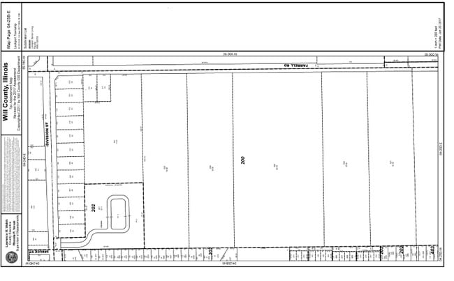
LOT 1 IN LOCKPORT SENIOR LIVING FACILITY, A SUB OF PRT OF THE E1/2 NE1/4 OF SEC 25, T36N-R10E.
11-04-25-202-001
WILL
Taxexempt
Illinois
B and X Area of moderate flood hazard, usually the area between the limits of the 100-year and 500-year floods.
1
2022
5.11 AC
2024
North Will County
880701
Chicago
NEARBY LISTINGS FOR SALE OR LEASE
-
-
View all Lockport listings for sale on LoopNet.com
DEMOGRAPHICS near 1435 S Bello Dr
1 mile
3 mile
5 mile
2025 Total Population
9,244
41,166
114,986
2030 Population
9,422
41,981
116,796
Pop Growth 2025-2030
+ 1.93%
+ 1.98%
+ 1.57%
Average Age
42
39
39
2025 Total Households
3,623
14,887
39,044
HH Growth 2025-2030
+ 2.15%
+ 1.98%
+ 1.65%
Median Household Inc
$113,769
$101,418
$86,587
Avg Household Size
2.50
2.70
2.80
2025 Avg HH Vehicles
2.00
2.00
2.00
Median Home Value
$324,828
$313,148
$286,883
Median Year Built
1997
1991
1972
Nearby Places
Map Layers
Map Styles
 Street
 Aerial
Layers
 Traffic
 Biking
Places
Listings with unknown addresses are not visible on the map
- Restaurants
- Banks
- Shops
- Fitness
- Groceries
PUBLIC TRANSPORTATION
COMMUTER RAIL
Lockport Station (Heritage Corridor Line - Northeast Illinois Regional Commuter Railroad (Metra))
Drive
Walk
Distance
Lockport Station (Heritage Corridor Line - Northeast Illinois Regional Commuter Railroad (Metra))
5 min
2.0 mi
Romeoville (Heritage Corridor - Metra)
Drive
Walk
Distance
Romeoville (Heritage Corridor - Metra)
13 min
6.1 mi
AIRPORT
Chicago Midway International
Drive
Walk
Distance
Chicago Midway International
36 min
26.2 mi
Chicago O'Hare International
Drive
Walk
Distance
Chicago O'Hare International
54 min
37.7 mi
Freight Ports
Port Milwaukee
Drive
Walk
Distance
Port Milwaukee
135 min
109.4 mi
Nearby Properties
Address
Land Use
TOTAL SIZE
Lot Size
Zoning
Address
Land Use
TOTAL SIZE
Lot Size
Zoning
80.44 AC
Address
Land Use
TOTAL SIZE
Lot Size
Zoning
52.19 AC
Address
Land Use
TOTAL SIZE
Lot Size
Zoning
24.65 AC
Address
Land Use
TOTAL SIZE
Lot Size
Zoning
35.45 AC
Address
Land Use
TOTAL SIZE
Lot Size
Zoning
30.56 AC
Address
Land Use
TOTAL SIZE
Lot Size
Zoning
19.21 AC
Address
Land Use
TOTAL SIZE
Lot Size
Zoning
17.18 AC
Address
Land Use
TOTAL SIZE
Lot Size
Zoning
22.59 AC
Address
Land Use
TOTAL SIZE
Lot Size
Zoning
Address
Land Use
TOTAL SIZE
Lot Size
Zoning
18.96 AC
Address
Land Use
TOTAL SIZE
Lot Size
Zoning
17.56 AC
Address
Land Use
TOTAL SIZE
Lot Size
Zoning
15.78 AC
Address
Land Use
TOTAL SIZE
Lot Size
Zoning
25.25 AC
Address
Land Use
TOTAL SIZE
Lot Size
Zoning
228,690 SF
17.80 AC
Address
Land Use
TOTAL SIZE
Lot Size
Zoning
219,969 SF
23.30 AC
Address
Land Use
TOTAL SIZE
Lot Size
Zoning
128.58 AC
Address
Land Use
TOTAL SIZE
Lot Size
Zoning
228,690 SF
13.15 AC
Address
Land Use
TOTAL SIZE
Lot Size
Zoning
17.18 AC
Address
Land Use
TOTAL SIZE
Lot Size
Zoning
228,690 SF
10.54 AC
Address
Land Use
TOTAL SIZE
Lot Size
Zoning
143.93 AC
Address
Land Use
TOTAL SIZE
Lot Size
Zoning
14,376 SF
234.23 AC
Address
Land Use
TOTAL SIZE
Lot Size
Zoning
245,839 SF
29.90 AC
Address
Land Use
TOTAL SIZE
Lot Size
Zoning
2.45 AC
Address
Land Use
TOTAL SIZE
Lot Size
Zoning
65,591 SF
8.87 AC
Address
Land Use
TOTAL SIZE
Lot Size
Zoning
3.19 AC
Address
Land Use
TOTAL SIZE
Lot Size
Zoning
12.62 AC
Address
Land Use
TOTAL SIZE
Lot Size
Zoning
5.75 AC
Address
Land Use
TOTAL SIZE
Lot Size
Zoning
8.20 AC
Address
Land Use
TOTAL SIZE
Lot Size
Zoning
31,991 SF
9.49 AC
The World's #1 Commercial Real Estate Marketplace
Connect with us
© 2026 CoStar Group
The information above has been obtained from sources believed reliable. While we do not doubt its accuracy we have not verified it and make no guarantee, warranty or representation about it. It is your responsibility to independently confirm its accuracy and completeness. Any projections, opinions, assumptions, or estimates used are for example only and do not represent the current or future performance of the property. The value of this transaction to you depends on tax and other factors which should be evaluated by your tax, financial, and legal advisors. You and your advisors should conduct a careful, independent investigation of the property to determine to your satisfaction the suitability of the property for your needs.