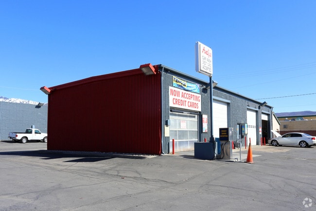
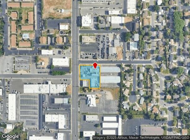
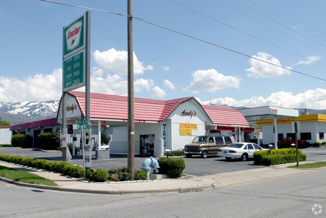
Property Record
1309 S 500 W, Bountiful, UT 84010

NEARBY LISTINGS FOR SALE OR LEASE
Property Detail
1309 S 500 W
03-038-0039
BEG 192.00 FT E OF THE E LINE OF 500 WEST STR AT A PT 251.625 FT N & E 97.91 FT FR THE SW COR OF LOT 4, BLK K, NMC PLAT, BOUNTIFUL TS SURVEY; & RUN TH N 0^07' W 212.00 FT TO THE S LINE OF 1250 SOUTH S
Publicstorage
Davis
X
Utah
49011C0394F
4
2025
0.73 AC
2025
Davis/Weber Counties
126901
Salt Lake City
2,550 SF
Ogden-Clearfield, UT
DEMOGRAPHICS near 1309 S 500 W
1 Mile
3 Mile
5 Mile
2024 Total Population
13,925
85,760
102,682
2029 Population
14,635
90,250
108,053
Pop Growth 2024-2029
+ 5.10%
+ 5.24%
+ 5.23%
Average Age
36
37
37
2024 Total Households
5,073
28,468
33,781
HH Growth 2024-2029
+ 5.18%
+ 5.30%
+ 5.30%
Median Household Inc
$69,684
$92,412
$96,643
Avg Household Size
2.70
3.00
3.00
2024 Avg HH Vehicles
2.00
2.00
2.00
Median Home Value
$372,596
$454,270
$461,982
Median Year Built
1971
1979
1983
Nearby Places
Map Layers
Map Styles
 Street
 Aerial
- Restaurants
- Banks
- Shops
- Fitness
- Groceries
PUBLIC TRANSPORTATION
COMMUTER RAIL
Woods Cross (FrontRunner North - Utah Transit Authority (UTA))
DRIVE
WALK
Distance
Woods Cross (FrontRunner North - Utah Transit Authority (UTA))
3 min
1.3 mi
Warm Springs Relief Point (FrontRunner - Utah Transit Authority (UTA))
DRIVE
WALK
Distance
Warm Springs Relief Point (FrontRunner - Utah Transit Authority (UTA))
13 min
7.4 mi
AIRPORT
Salt Lake City International
DRIVE
WALK
Distance
Salt Lake City International
18 min
12.6 mi
Freight Ports
Port of Stockton
DRIVE
WALK
Distance
Port of Stockton
718 min
703.0 mi
Nearby Properties
Address
Land Use
TOTAL SIZE
Lot Size
Zoning
Address
Land Use
TOTAL SIZE
Lot Size
Zoning
123,416 SF
14.85 AC
R4
Address
Land Use
TOTAL SIZE
Lot Size
Zoning
181,804 SF
24.72 AC
Address
Land Use
TOTAL SIZE
Lot Size
Zoning
83,092 SF
9.07 AC
R3
Address
Land Use
TOTAL SIZE
Lot Size
Zoning
240,104 SF
37.03 AC
C2
Address
Land Use
TOTAL SIZE
Lot Size
Zoning
657,526 SF
35.95 AC
MD
Address
Land Use
TOTAL SIZE
Lot Size
Zoning
13,126 SF
7.83 AC
P
Address
Land Use
TOTAL SIZE
Lot Size
Zoning
168,369 SF
10.14 AC
H
Address
Land Use
TOTAL SIZE
Lot Size
Zoning
113,419 SF
16.45 AC
R4
Address
Land Use
TOTAL SIZE
Lot Size
Zoning
92,796 SF
2.22 AC
DN
Address
Land Use
TOTAL SIZE
Lot Size
Zoning
67,712 SF
4.98 AC
CVH
Address
Land Use
TOTAL SIZE
Lot Size
Zoning
219,598 SF
19.99 AC
CVH
Address
Land Use
TOTAL SIZE
Lot Size
Zoning
113,265 SF
0.55 AC
CG
Address
Land Use
TOTAL SIZE
Lot Size
Zoning
45,956 SF
8.44 AC
Address
Land Use
TOTAL SIZE
Lot Size
Zoning
230,020 SF
27.33 AC
MD
Address
Land Use
TOTAL SIZE
Lot Size
Zoning
156,694 SF
7.67 AC
Address
Land Use
TOTAL SIZE
Lot Size
Zoning
167,410 SF
12.89 AC
CG
Address
Land Use
TOTAL SIZE
Lot Size
Zoning
259,942 SF
18.52 AC
MD
Address
Land Use
TOTAL SIZE
Lot Size
Zoning
155,896 SF
8.96 AC
Address
Land Use
TOTAL SIZE
Lot Size
Zoning
58,273 SF
3.80 AC
I1
Address
Land Use
TOTAL SIZE
Lot Size
Zoning
532 SF
144.31 AC
A1
Address
Land Use
TOTAL SIZE
Lot Size
Zoning
280,221 SF
30.36 AC
R4
Address
Land Use
TOTAL SIZE
Lot Size
Zoning
167,405 SF
13.81 AC
CVH
Address
Land Use
TOTAL SIZE
Lot Size
Zoning
19,299 SF
3.06 AC
Address
Land Use
TOTAL SIZE
Lot Size
Zoning
3,986 SF
13 AC
CG
Address
Land Use
TOTAL SIZE
Lot Size
Zoning
119,710 SF
13.15 AC
R4
Address
Land Use
TOTAL SIZE
Lot Size
Zoning
6,050 SF
59.94 AC
Address
Land Use
TOTAL SIZE
Lot Size
Zoning
90,104 SF
9.62 AC
CVH
Address
Land Use
TOTAL SIZE
Lot Size
Zoning
66,855 SF
5.84 AC
CVH
Address
Land Use
TOTAL SIZE
Lot Size
Zoning
146,381 SF
18.50 AC
PFL
Address
Land Use
TOTAL SIZE
Lot Size
Zoning
101,110 SF
8.12 AC
The World's #1 Commercial Real Estate Marketplace
Connect with us
© 2026 CoStar Group
The information above has been obtained from sources believed reliable. While we do not doubt its accuracy we have not verified it and make no guarantee, warranty or representation about it. It is your responsibility to independently confirm its accuracy and completeness. Any projections, opinions, assumptions, or estimates used are for example only and do not represent the current or future performance of the property. The value of this transaction to you depends on tax and other factors which should be evaluated by your tax, financial, and legal advisors. You and your advisors should conduct a careful, independent investigation of the property to determine to your satisfaction the suitability of the property for your needs.