Property Record
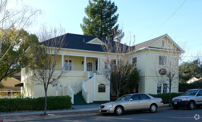
131 N Main St, Cloverdale, CA 95425


Property Detail
131 N Main St
001-172-003
Sonoma
Retailwithmorethanonenonretailuse
California
CITYCL
7,8
B and X Area of moderate flood hazard, usually the area between the limits of the 100-year and 500-year floods.
0.21 AC
2025
Healdsburg/Cloverdale/N.
2025
North Bay/Santa Rosa
154201
Santa Rosa-Petaluma, CA
4,689 SF
NEARBY LISTINGS FOR SALE OR LEASE
DEMOGRAPHICS near 131 N Main St
1 mile
3 mile
5 mile
2025 Total Population
6,940
10,860
11,302
2030 Population
7,030
10,957
11,396
Pop Growth 2025-2030
+ 1.30%
+ 0.89%
+ 0.83%
Average Age
42
44
44
2025 Total Households
2,529
4,089
4,269
HH Growth 2025-2030
+ 1.30%
+ 0.86%
+ 0.77%
Median Household Inc
$102,048
$102,004
$102,958
Avg Household Size
2.70
2.60
2.60
2025 Avg HH Vehicles
2.00
2.00
2.00
Median Home Value
$713,175
$699,872
$707,373
Median Year Built
1972
1978
1977
Nearby Places
Map Layers
Map Styles
 Street
 Aerial
Layers
 Traffic
 Biking
Places
Listings with unknown addresses are not visible on the map
- Restaurants
- Banks
- Shops
- Fitness
- Groceries
PUBLIC TRANSPORTATION
AIRPORT
Charles M Schulz - Sonoma County
Drive
Walk
Distance
Charles M Schulz - Sonoma County
35 min
27.5 mi
SALE & LEASE HISTORY
LISTING DATE
SALE/LEASE

May 11, 2021
For Sale
Feb 21, 2025
For Sale
Nearby Properties
Address
Land Use
TOTAL SIZE
Lot Size
Zoning
Address
Land Use
TOTAL SIZE
Lot Size
Zoning
99,570 SF
4.41 AC
Address
Land Use
TOTAL SIZE
Lot Size
Zoning
37,316 SF
16.74 AC
M2
Address
Land Use
TOTAL SIZE
Lot Size
Zoning
2.56 AC
Address
Land Use
TOTAL SIZE
Lot Size
Zoning
240.83 AC
Address
Land Use
TOTAL SIZE
Lot Size
Zoning
10.28 AC
CITYCL
Address
Land Use
TOTAL SIZE
Lot Size
Zoning
15,756 SF
1.45 AC
Address
Land Use
TOTAL SIZE
Lot Size
Zoning
43,987 SF
1.52 AC
Address
Land Use
TOTAL SIZE
Lot Size
Zoning
5,000 SF
4.09 AC
Address
Land Use
TOTAL SIZE
Lot Size
Zoning
40,832 SF
0.20 AC
Address
Land Use
TOTAL SIZE
Lot Size
Zoning
6,684 SF
20.42 AC
1NDL
Address
Land Use
TOTAL SIZE
Lot Size
Zoning
9,042 SF
1.36 AC
Address
Land Use
TOTAL SIZE
Lot Size
Zoning
1,625 SF
28.42 AC
ARB8FRZN
Address
Land Use
TOTAL SIZE
Lot Size
Zoning
4.69 AC
Address
Land Use
TOTAL SIZE
Lot Size
Zoning
10,189 SF
1.36 AC
Address
Land Use
TOTAL SIZE
Lot Size
Zoning
4,410 SF
30.68 AC
RRDW20
Address
Land Use
TOTAL SIZE
Lot Size
Zoning
51.26 AC
LIA20
Address
Land Use
TOTAL SIZE
Lot Size
Zoning
15,841 SF
0.72 AC
Address
Land Use
TOTAL SIZE
Lot Size
Zoning
1,334 SF
84 AC
RRDB8FRZN
Address
Land Use
TOTAL SIZE
Lot Size
Zoning
2.64 AC
Address
Land Use
TOTAL SIZE
Lot Size
Zoning
22,994 SF
0.85 AC
Address
Land Use
TOTAL SIZE
Lot Size
Zoning
2,684 SF
40 AC
RRD240
Address
Land Use
TOTAL SIZE
Lot Size
Zoning
53,692 SF
3.23 AC
Address
Land Use
TOTAL SIZE
Lot Size
Zoning
421 SF
9.30 AC
LIA20
Address
Land Use
TOTAL SIZE
Lot Size
Zoning
2,331 SF
160 AC
RRD240
Address
Land Use
TOTAL SIZE
Lot Size
Zoning
42,278 SF
5.70 AC
M3
Address
Land Use
TOTAL SIZE
Lot Size
Zoning
25,520 SF
1.56 AC
CITYCL
Address
Land Use
TOTAL SIZE
Lot Size
Zoning
25,054 SF
12.17 AC
M1B8FRZN
Address
Land Use
TOTAL SIZE
Lot Size
Zoning
Address
Land Use
TOTAL SIZE
Lot Size
Zoning
6,309 SF
2.05 AC
Address
Land Use
TOTAL SIZE
Lot Size
Zoning
20,000 SF
3.58 AC
MP
The World's #1 Commercial Real Estate Marketplace
Connect with us
© 2026 CoStar Group
The information above has been obtained from sources believed reliable. While we do not doubt its accuracy we have not verified it and make no guarantee, warranty or representation about it. It is your responsibility to independently confirm its accuracy and completeness. Any projections, opinions, assumptions, or estimates used are for example only and do not represent the current or future performance of the property. The value of this transaction to you depends on tax and other factors which should be evaluated by your tax, financial, and legal advisors. You and your advisors should conduct a careful, independent investigation of the property to determine to your satisfaction the suitability of the property for your needs.