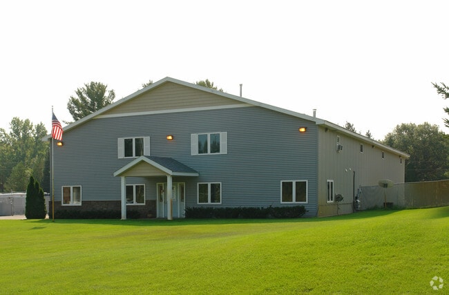
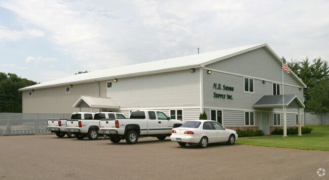
Property Record
1310 154Th Ave Ne, Andover, MN 55304
NEARBY LISTINGS FOR SALE OR LEASE
Property Detail
1310 154Th Ave Ne
20-32-23-24-0020
THE WLY 200 FT, AS MEAS ALG N & S LINES THEREOF, OF N1/2 OF SE1/4 OF SE1/4 OF NW1/4 OF SEC 20 TWP 32 RGE 23, EX RDS, SUBJ TO
Industrialgeneral
Anoka
X
Minnesota
27003C0326E
1.19 AC
2025
North Central
2025
Minneapolis/St Paul
050215
Minneapolis-St. Paul-Bloomington, MN-WI
8,642 SF
DEMOGRAPHICS near 1310 154Th Ave Ne
1 Mile
3 Mile
5 Mile
2024 Total Population
1,317
21,105
82,287
2029 Population
1,360
21,920
85,706
Pop Growth 2024-2029
+ 3.26%
+ 3.86%
+ 4.15%
Average Age
41
40
39
2024 Total Households
475
7,140
28,019
HH Growth 2024-2029
+ 3.37%
+ 3.85%
+ 4.12%
Median Household Inc
$108,889
$117,802
$114,224
Avg Household Size
2.80
2.90
2.90
2024 Avg HH Vehicles
3.00
2.00
2.00
Median Home Value
$375,861
$374,676
$355,419
Median Year Built
1989
1993
1995
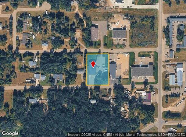
Nearby Places
Map Layers
Map Styles
 Street
 Aerial
- Restaurants
- Banks
- Shops
- Fitness
- Groceries
PUBLIC TRANSPORTATION
COMMUTER RAIL
Coon Rapids-Riverdale Station (Northstar Corridor - Northstar Commuter Rail)
DRIVE
WALK
Distance
Coon Rapids-Riverdale Station (Northstar Corridor - Northstar Commuter Rail)
17 min
9.8 mi
AIRPORT
Minneapolis-St Paul International/Wold-Chamberlain
DRIVE
WALK
Distance
Minneapolis-St Paul International/Wold-Chamberlain
48 min
34.1 mi
Nearby Properties
Address
Land Use
TOTAL SIZE
Lot Size
Zoning
Address
Land Use
TOTAL SIZE
Lot Size
Zoning
104,477 SF
18 AC
Address
Land Use
TOTAL SIZE
Lot Size
Zoning
70,304 SF
Address
Land Use
TOTAL SIZE
Lot Size
Zoning
Address
Land Use
TOTAL SIZE
Lot Size
Zoning
6,080 SF
20 AC
Address
Land Use
TOTAL SIZE
Lot Size
Zoning
26,719 SF
36.48 AC
Address
Land Use
TOTAL SIZE
Lot Size
Zoning
77,272 SF
3.09 AC
Address
Land Use
TOTAL SIZE
Lot Size
Zoning
54,272 SF
4.97 AC
Address
Land Use
TOTAL SIZE
Lot Size
Zoning
53,180 SF
30.46 AC
Address
Land Use
TOTAL SIZE
Lot Size
Zoning
58,977 SF
5.65 AC
Address
Land Use
TOTAL SIZE
Lot Size
Zoning
55,932 SF
5.39 AC
Address
Land Use
TOTAL SIZE
Lot Size
Zoning
28,600 SF
4.37 AC
Address
Land Use
TOTAL SIZE
Lot Size
Zoning
24,000 SF
Address
Land Use
TOTAL SIZE
Lot Size
Zoning
1,182 SF
20.50 AC
Address
Land Use
TOTAL SIZE
Lot Size
Zoning
34,970 SF
202.94 AC
Address
Land Use
TOTAL SIZE
Lot Size
Zoning
29,822 SF
2.11 AC
Address
Land Use
TOTAL SIZE
Lot Size
Zoning
32,000 SF
5.25 AC
Address
Land Use
TOTAL SIZE
Lot Size
Zoning
1,586 SF
32.08 AC
Address
Land Use
TOTAL SIZE
Lot Size
Zoning
62,624 SF
12 AC
Address
Land Use
TOTAL SIZE
Lot Size
Zoning
1,120 SF
6.02 AC
Address
Land Use
TOTAL SIZE
Lot Size
Zoning
Address
Land Use
TOTAL SIZE
Lot Size
Zoning
33,992 SF
2.24 AC
Address
Land Use
TOTAL SIZE
Lot Size
Zoning
37,048 SF
2.58 AC
Address
Land Use
TOTAL SIZE
Lot Size
Zoning
37,291 SF
2.16 AC
Address
Land Use
TOTAL SIZE
Lot Size
Zoning
36,159 SF
3.96 AC
Address
Land Use
TOTAL SIZE
Lot Size
Zoning
26,900 SF
7.08 AC
Address
Land Use
TOTAL SIZE
Lot Size
Zoning
40,310 SF
1.05 AC
Address
Land Use
TOTAL SIZE
Lot Size
Zoning
19,557 SF
21.93 AC
Address
Land Use
TOTAL SIZE
Lot Size
Zoning
9,766 SF
67.67 AC
Address
Land Use
TOTAL SIZE
Lot Size
Zoning
3,000 SF
12.75 AC
The World's #1 Commercial Real Estate Marketplace
Connect with us
© 2025 CoStar Group
The information above has been obtained from sources believed reliable. While we do not doubt its accuracy we have not verified it and make no guarantee, warranty or representation about it. It is your responsibility to independently confirm its accuracy and completeness. Any projections, opinions, assumptions, or estimates used are for example only and do not represent the current or future performance of the property. The value of this transaction to you depends on tax and other factors which should be evaluated by your tax, financial, and legal advisors. You and your advisors should conduct a careful, independent investigation of the property to determine to your satisfaction the suitability of the property for your needs.